Iceland: The Hidden Highlands
Where few venture
Over twelve days in late August, we walked hut to hut across the Icelandic Highlands with Amarok Adventures — ten of us and our guide, Albert — on the hidden lines of a landscape most people only glimpse from the famous Laugavegur trail.
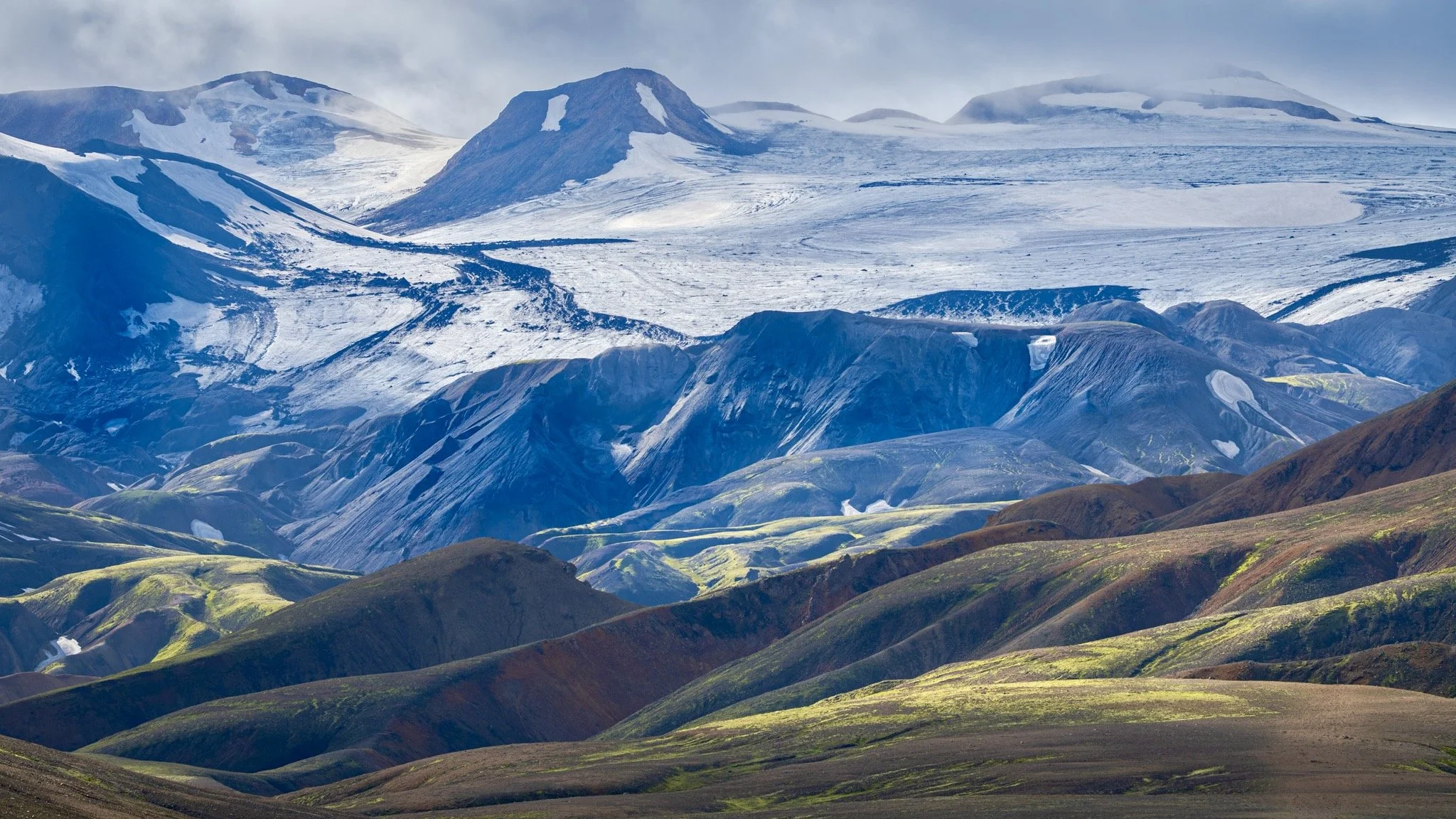
It began in the painted rhyolite mountains around Landmannalaugar, on the northern rim of the Torfajökull caldera, where the peaks come in red, green and yellow because the volcano erupts pale, silica-rich rock instead of the usual black basalt. Then a long transfer carried us out of the caldera and into another world entirely — the black basalt country of the Katla and Eldgjá system, where we descended into the great fire fissure that in the tenth century poured out the largest lava flood in recorded history, and where bright green moss traces the drainage lines across the dark ground and the old stories of trolls and hidden people rise out of the rock.
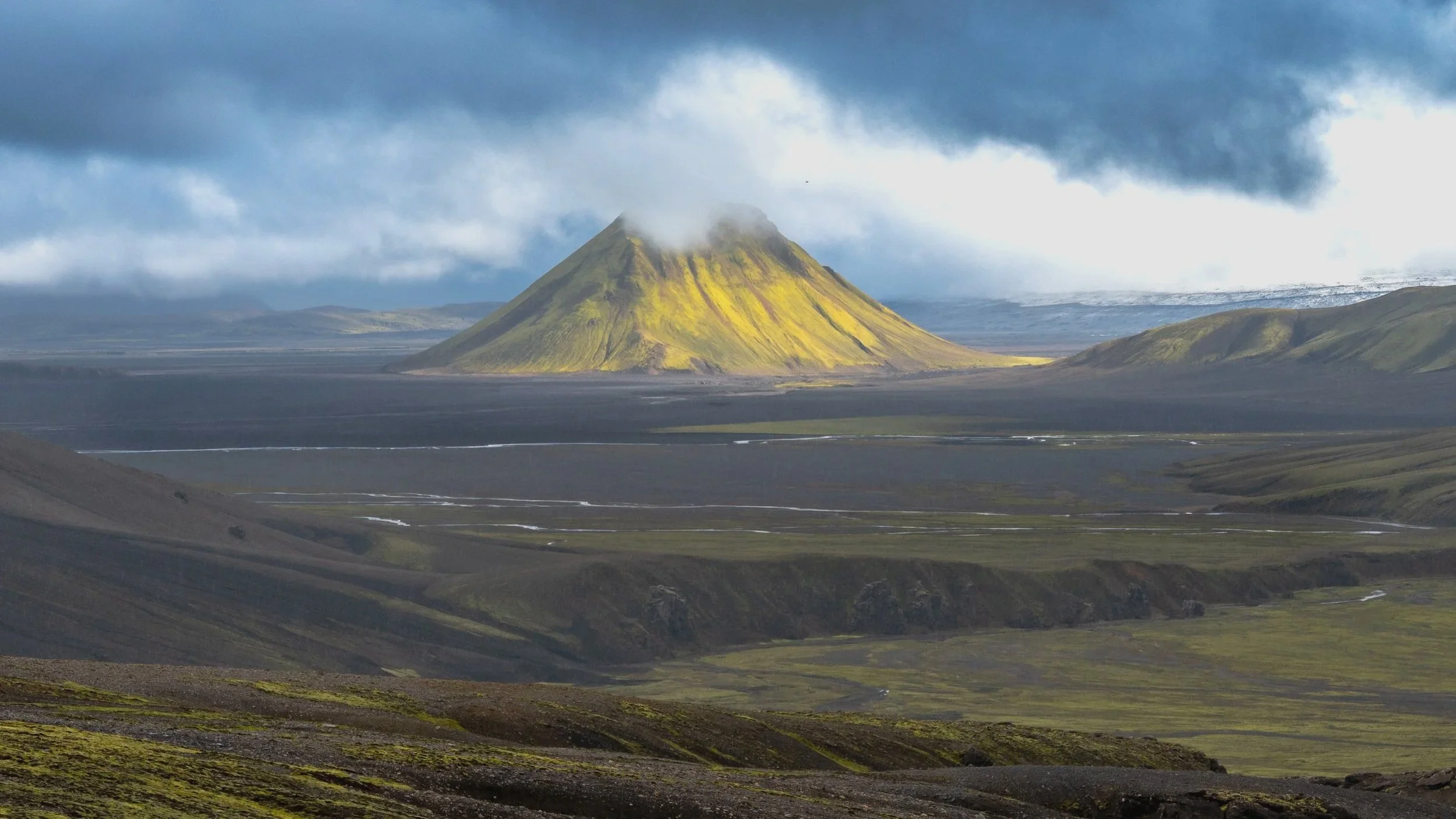
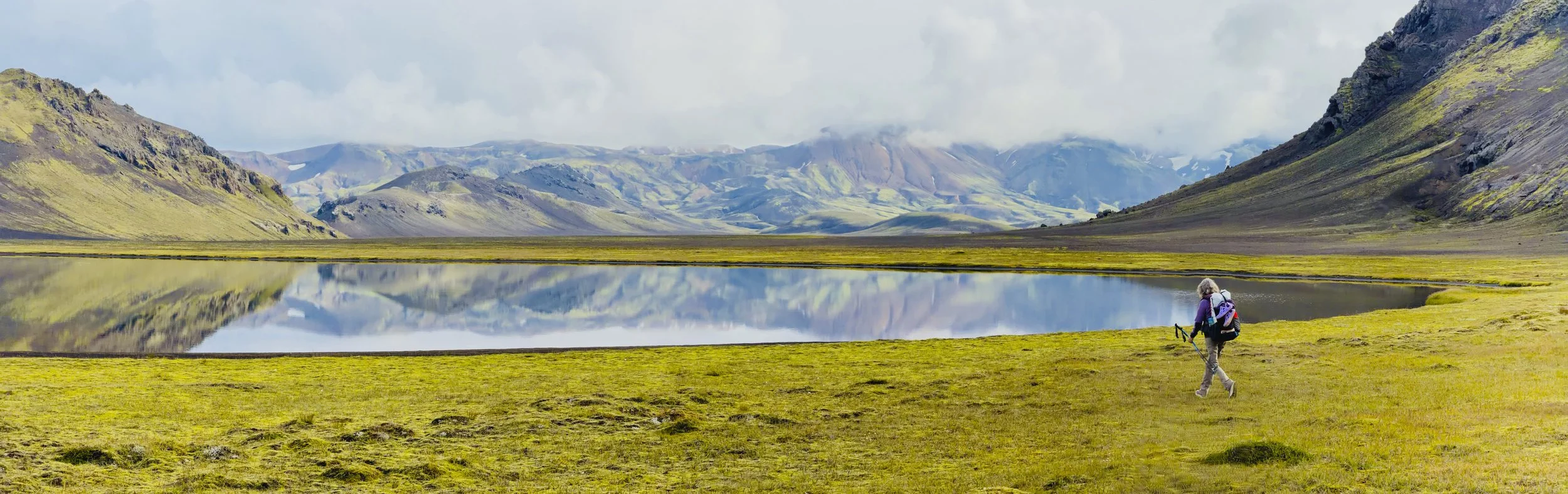
For days we crossed open valleys and cold rivers with no one else for miles, past the moss-green cone of Mælifell standing alone on its black sands, before rejoining the Laugavegur trail for the final walk down through the last black desert and into the birch woods of Þórsmörk, where the trail runs out. Roughly 160 kilometres on foot — colour, then black and green, then trees — and the highlands let us go quietly.
Day 0 - Toronto to Reykjavik
City Day
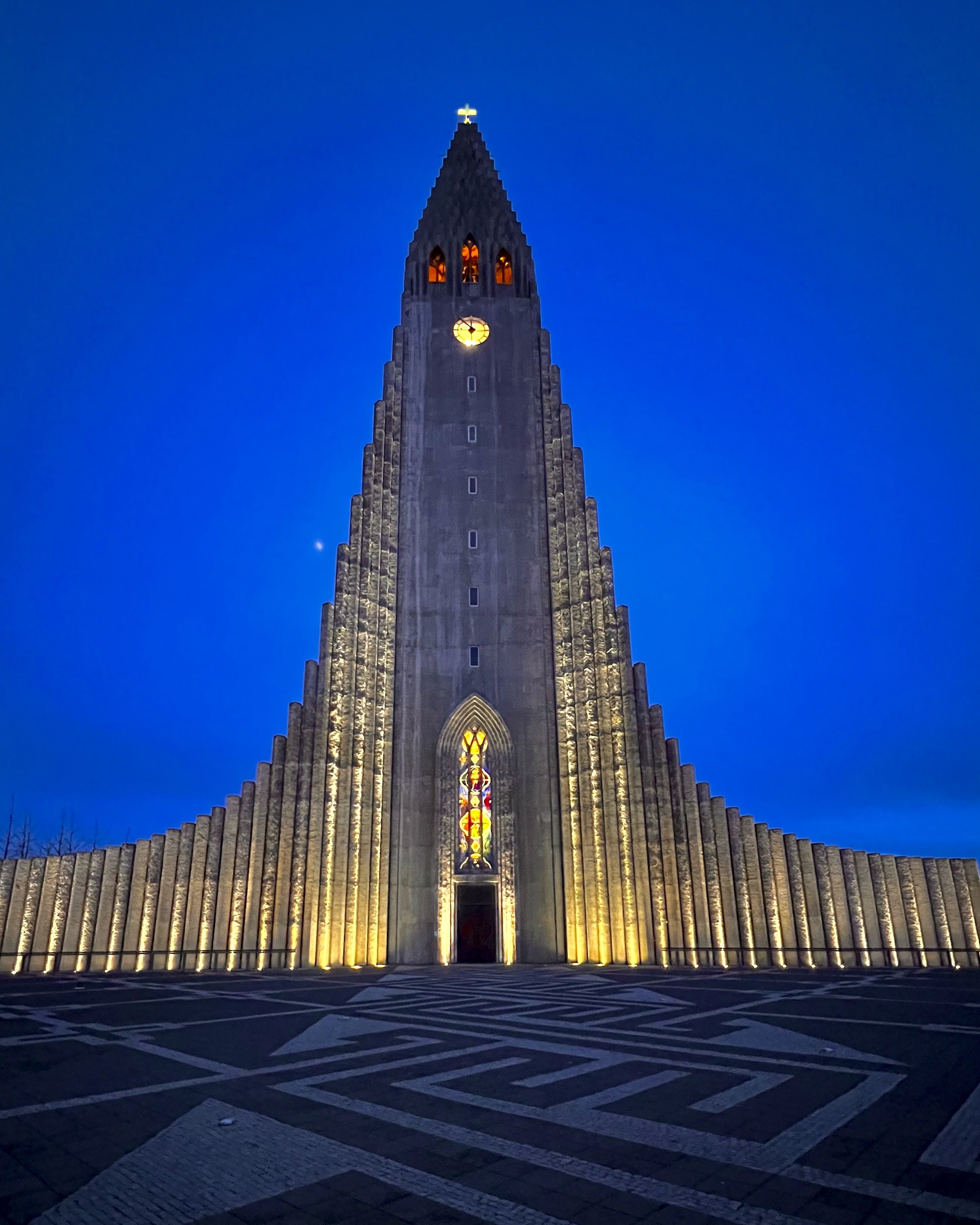
The trip begins with a 5hour overnight Icelandair flight out of Toronto, the short northern night barely long enough to sleep through before the early-morning descent into Keflavík — KEF sitting alone on the Reykjanes peninsula with the North Atlantic on every side. From there the easiest way into the city is the frequent Flybus: forty-five minutes up Route 41 across a plain of black lava and moss, past the turnoff to the Blue Lagoon, where the Svartsengi geothermal plant draws superheated water from deep beneath the lava to power the peninsula and sends up a plume of steam across the fields. Somewhere on the southern horizon, the fresh lava of the peninsula's recent 2023 eruption. The bus brings you to the BSI bus terminal on the edge of downtown, and from there it's a twenty-minute walk to Hotel 101, in the centre of Reykjavik — the northernmost capital in the world, a last night before the highlands. Tomorrow the trip proper begins.
Day 1 — Reykjavík to Hvolsvöllur
travel day · the trip begins
Weather: overcast and raining, around 13°C
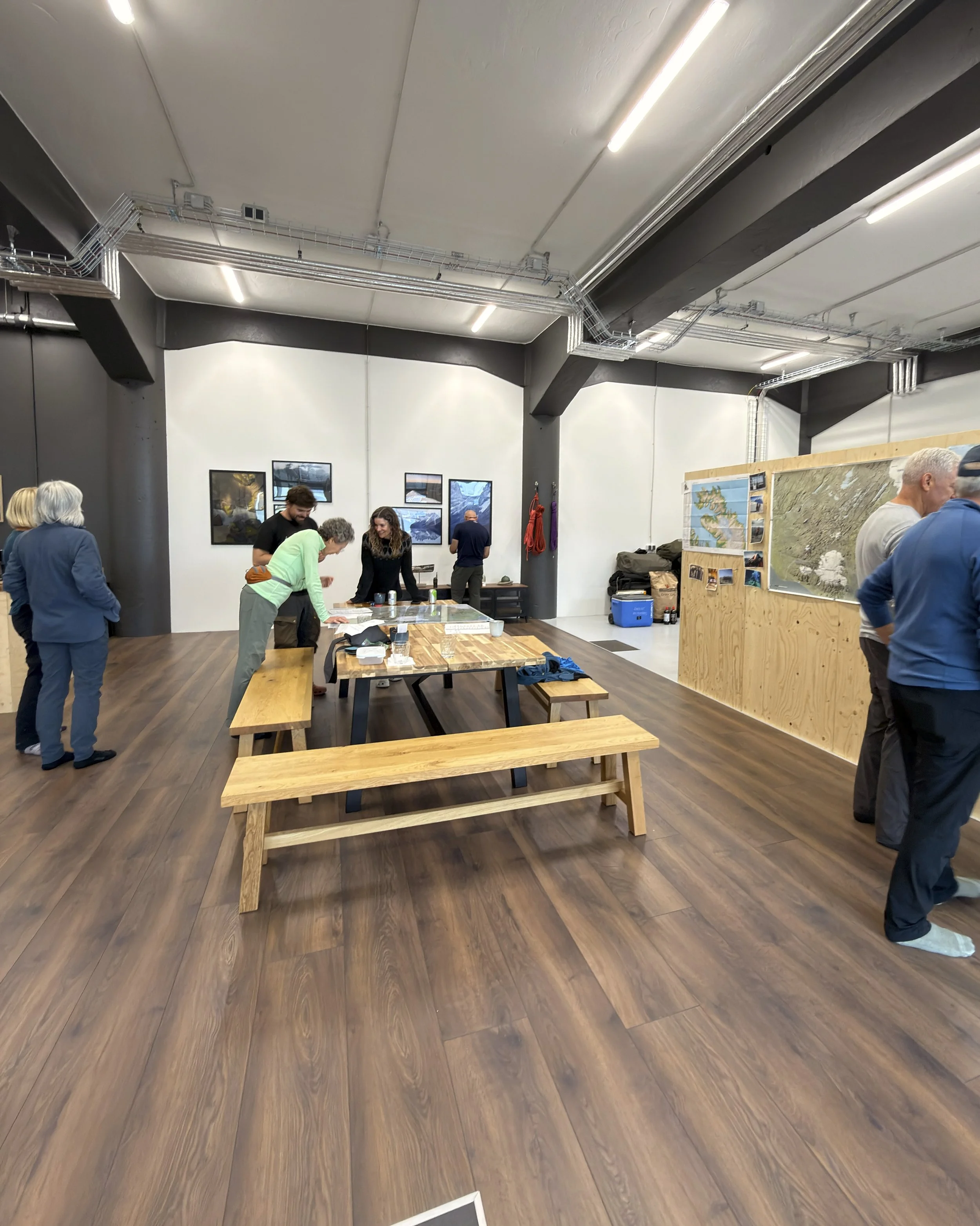
The hike begins not on a trail but in an office. A morning at Amarok Adventures in Reykjavík — the briefing, the gear check, and the first meeting of the people we'd spend the next twelve days with - ten walkers and our guide.
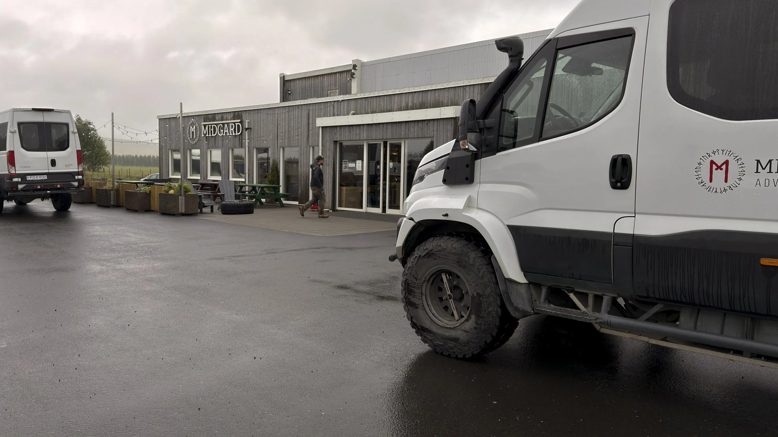
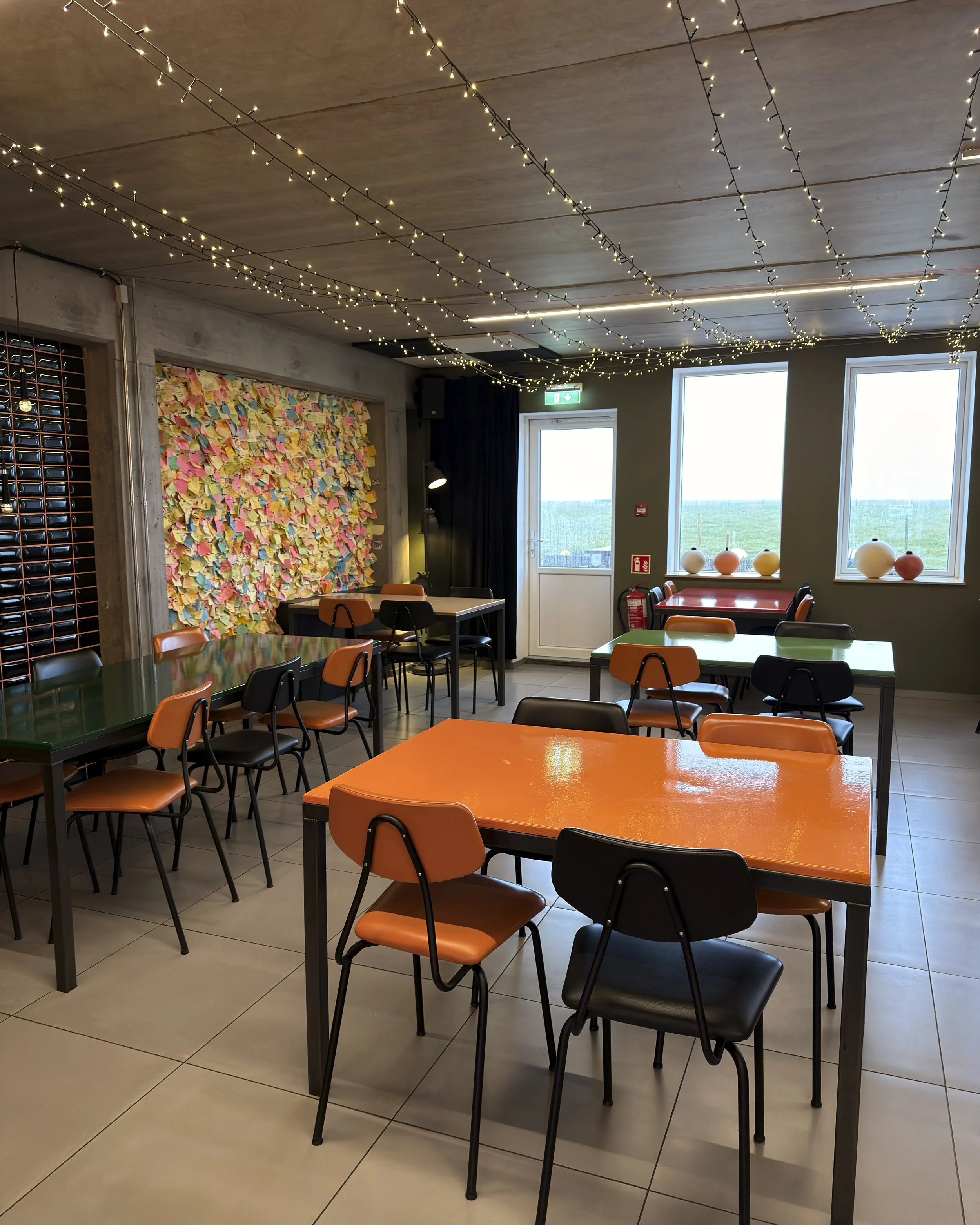
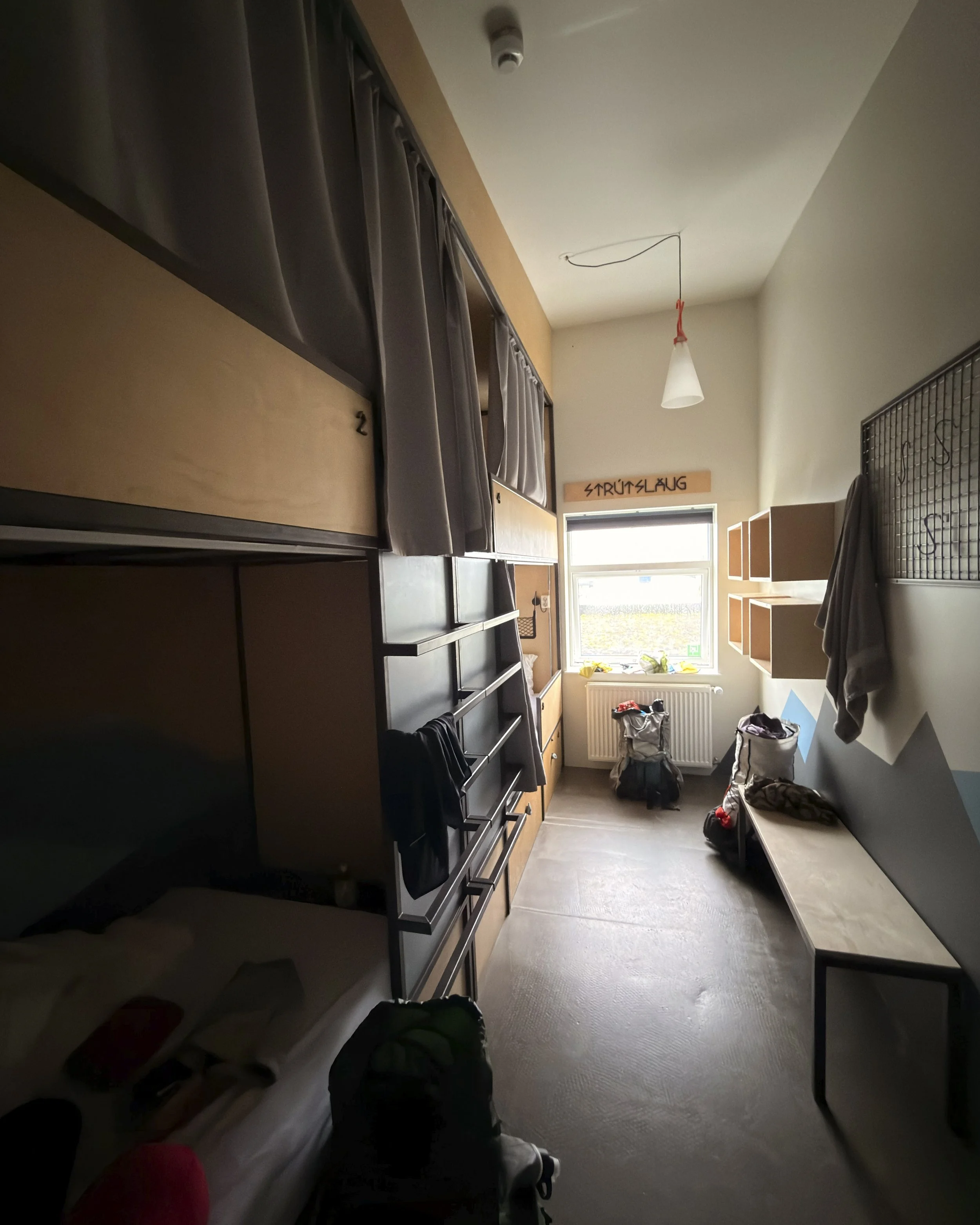
Then east, out of the city and onto the ring road, some two hours across the lowlands of the south — farmland and horses, the great flat-topped bulk of Eyjafjallajökull's icecap gathering on the skyline, the volcano that stopped the world's air traffic in 2010. The rain came and went the whole way, low cloud sitting on the fells. The road runs beneath the icecap toward Hvolsvöllur, a small farming town of around a thousand, and Midgard Base Camp on its edge — a former industrial building turned into a hub for people heading into the highlands. In the old Norse cosmology, Midgard is the world of humans, the middle enclosure fenced off from the wild. A fitting last address. Tomorrow we leave it for the interior.
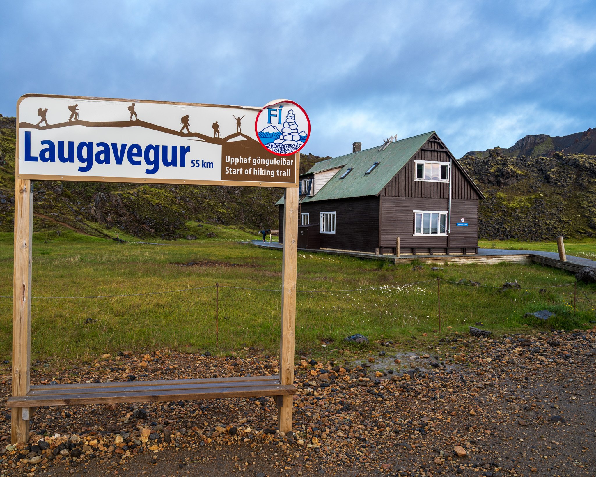
Day 2 — Hvolsvöllur to Landmannalaugar
into the rhyolite
5 km - 500 m ascent
Weather: overcast and raining, around 13°C
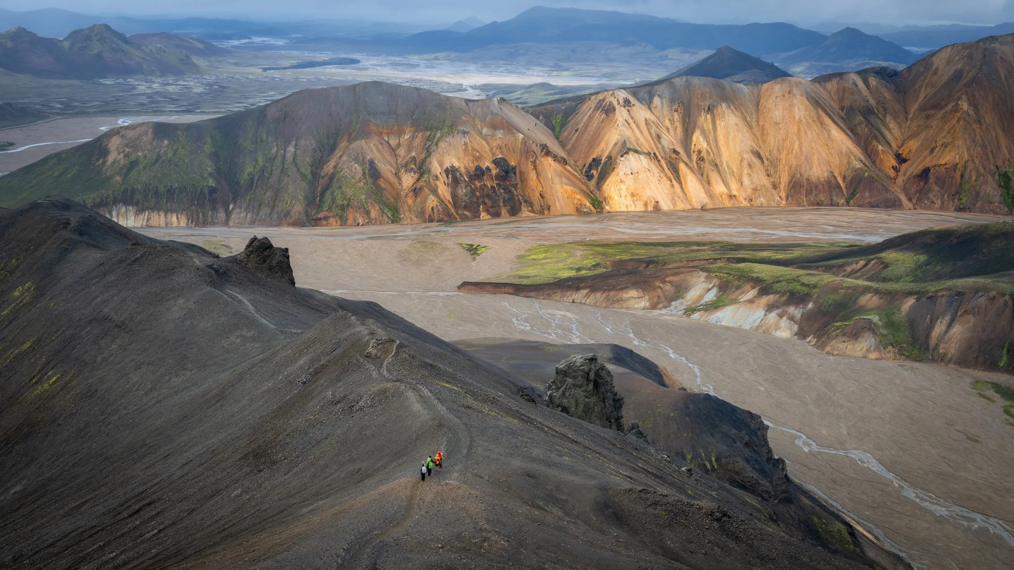
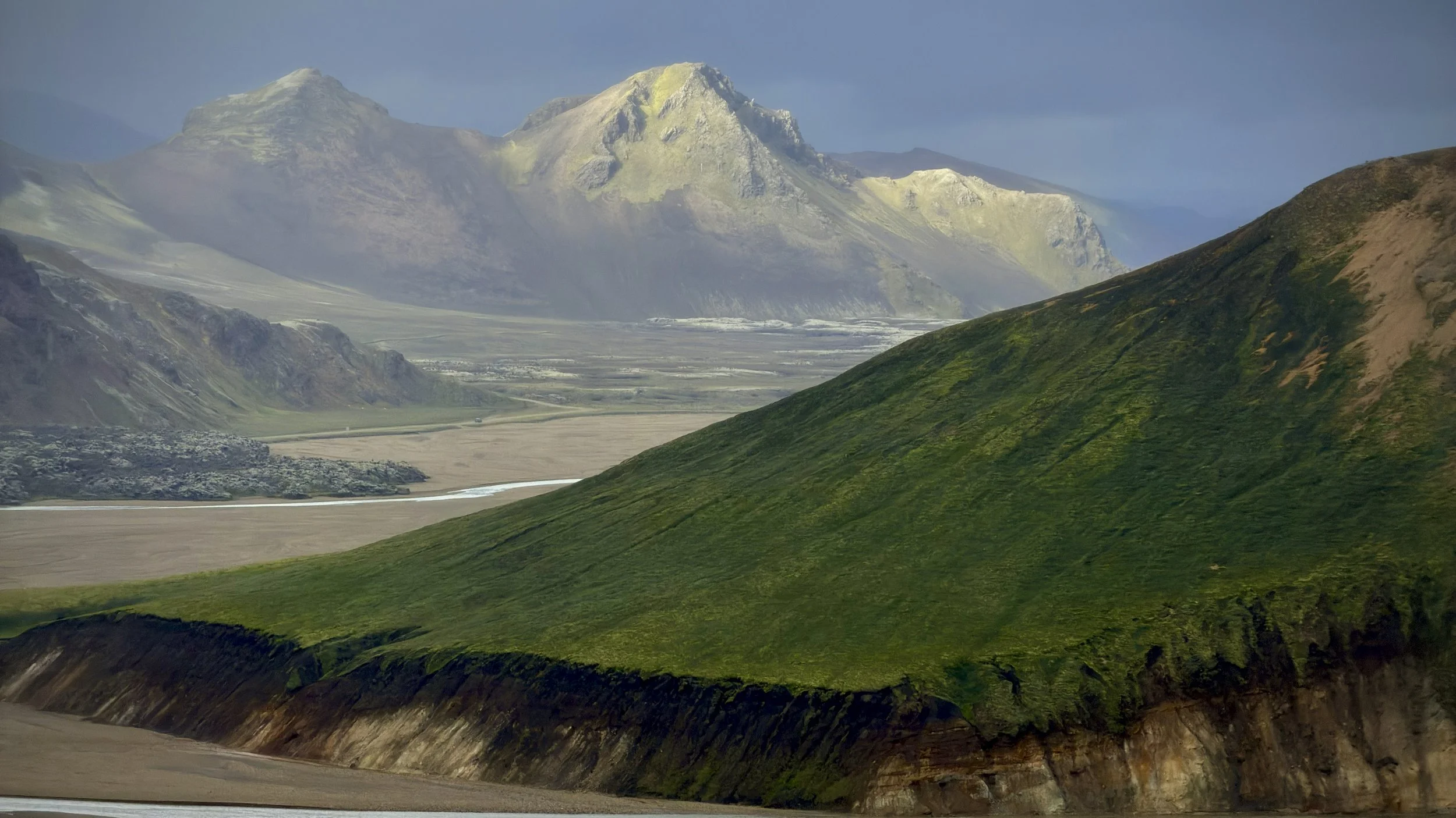
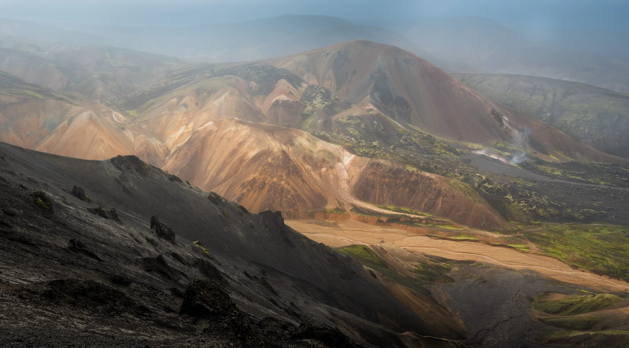
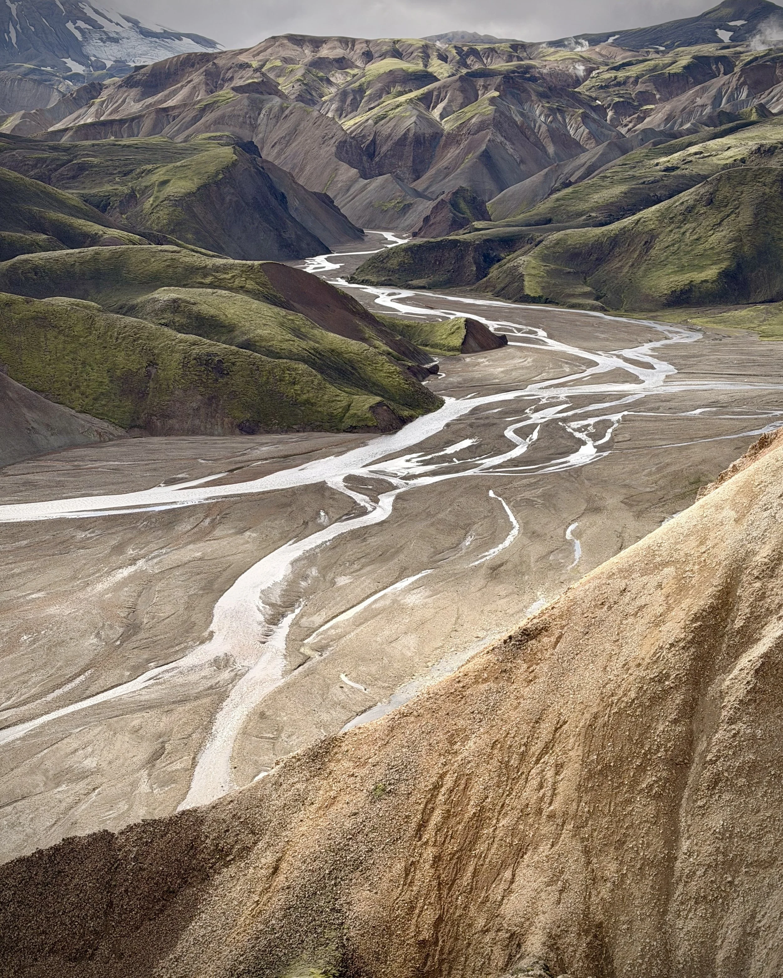
The paved road ends and the F-roads begin. A 4×4 up the F208 into the Fjallabak Nature Reserve — a track that only a high-clearance vehicle can manage, fording rivers and grinding over rough volcanic ground to Landmannalaugar, the busy trailhead of the famous Laugavegur trail, where we’d spend two nights. The place sits on the northern edge of the Torfajökull caldera: an 18-by-12-kilometre collapse basin that holds the largest spread of rhyolite in Iceland. The volcano here erupts almost nothing but that pale, silica-rich rock, which is why the mountains come in reds, greens and golds instead of the usual black.
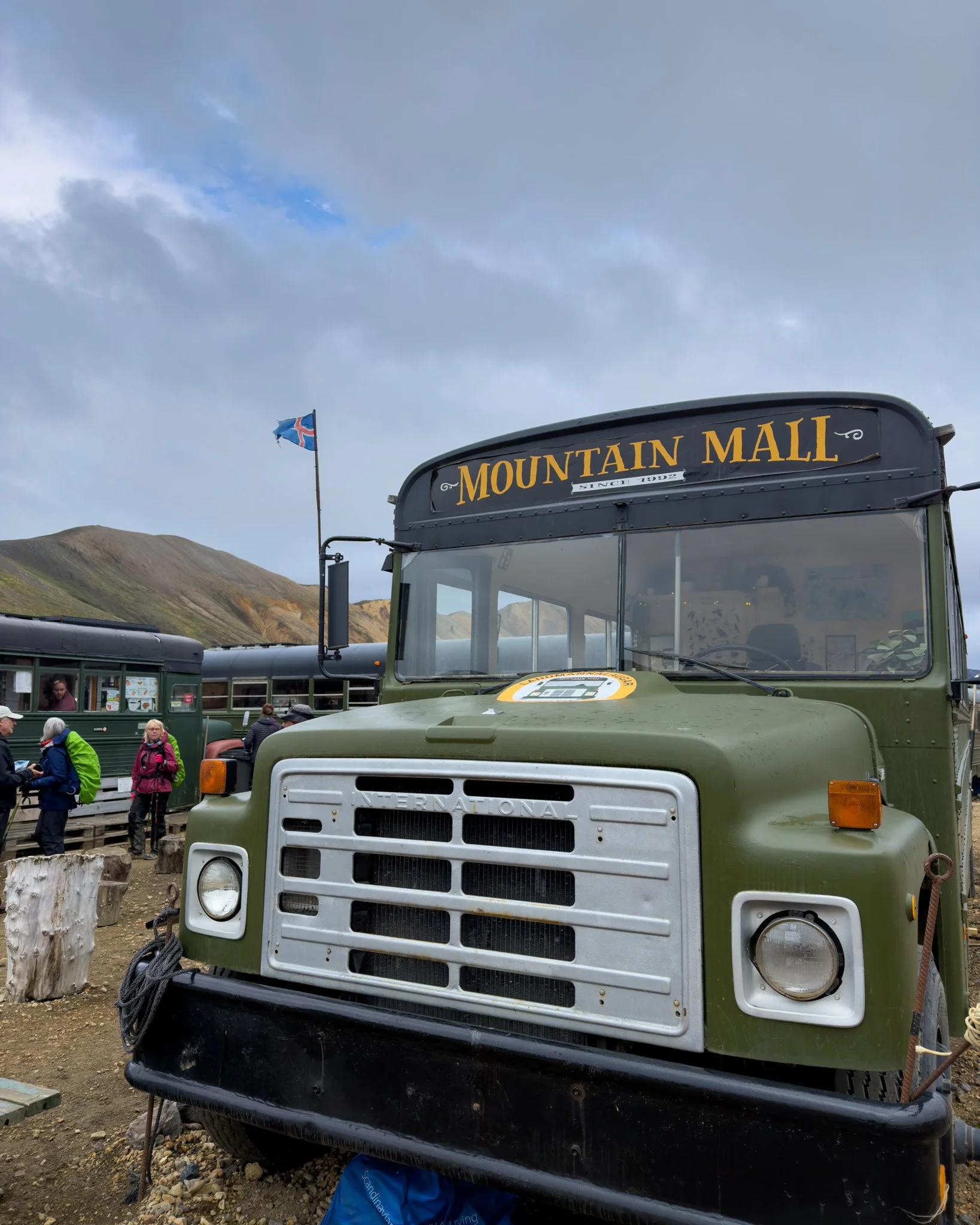
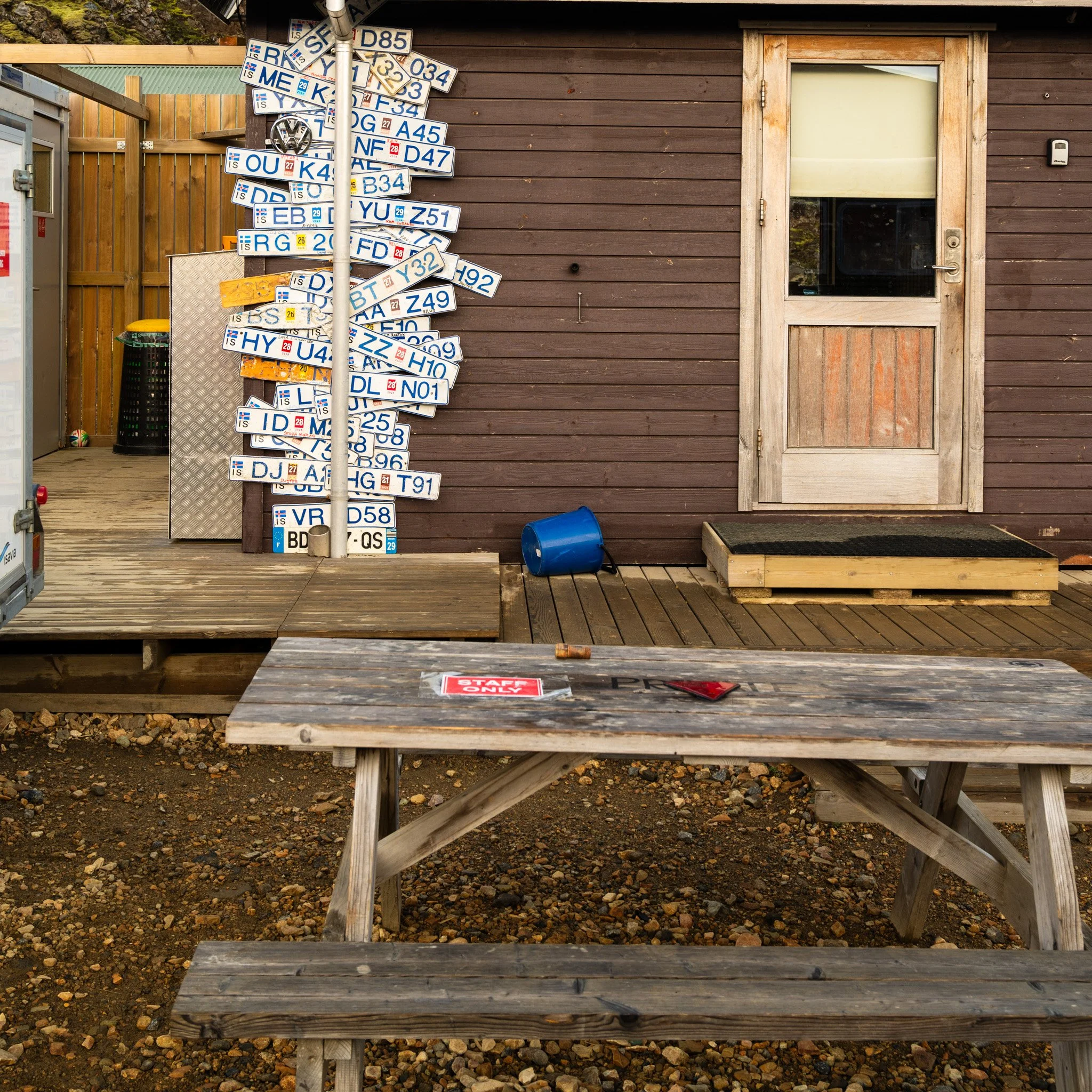
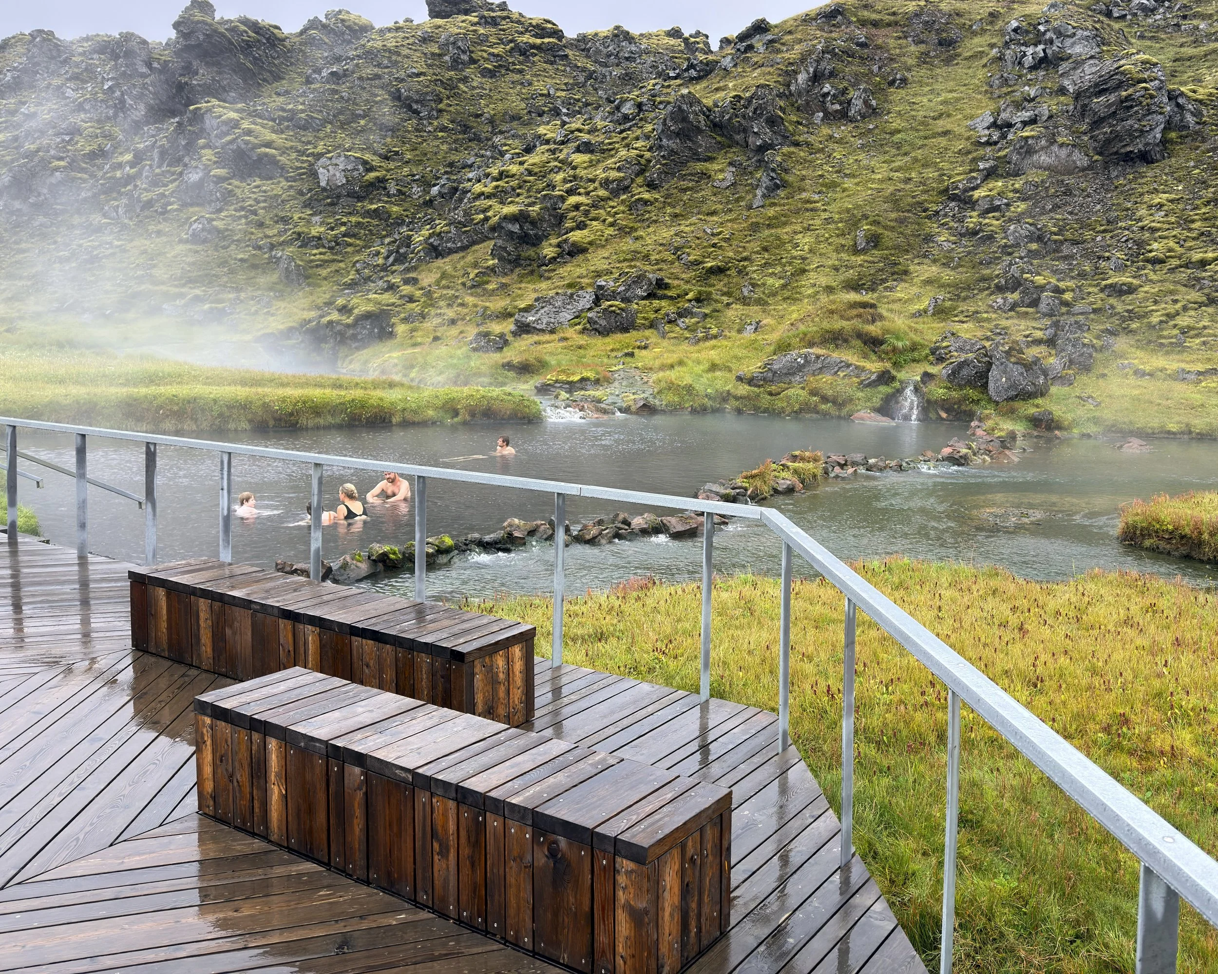
The afternoon’s walk went up Bláhnúkur, the “blue peak” — 938 metres by the sign at the trailhead — in steady ain. The summit gave up a limited view, just cloud and wet rock and the wind, but the climb did the thing a first day is meant to do: provide the scale of the place arrived all at once, the sense of standing on an island built almost entirely by fire, and the first real sight of the coloured rhyolite running off into the grey. Back down to the at the community Landmannalaugar for the night, a soak in the nearby hot spring and a stop at the Mountain Store for beer. The highlands finally begun.
Day 3 — Landmannalaugar - the Hattur loop
hidden rhyolite country
Weather: broken cloud and sun, around 10 - 15°C
17.8km - 1048m ascent
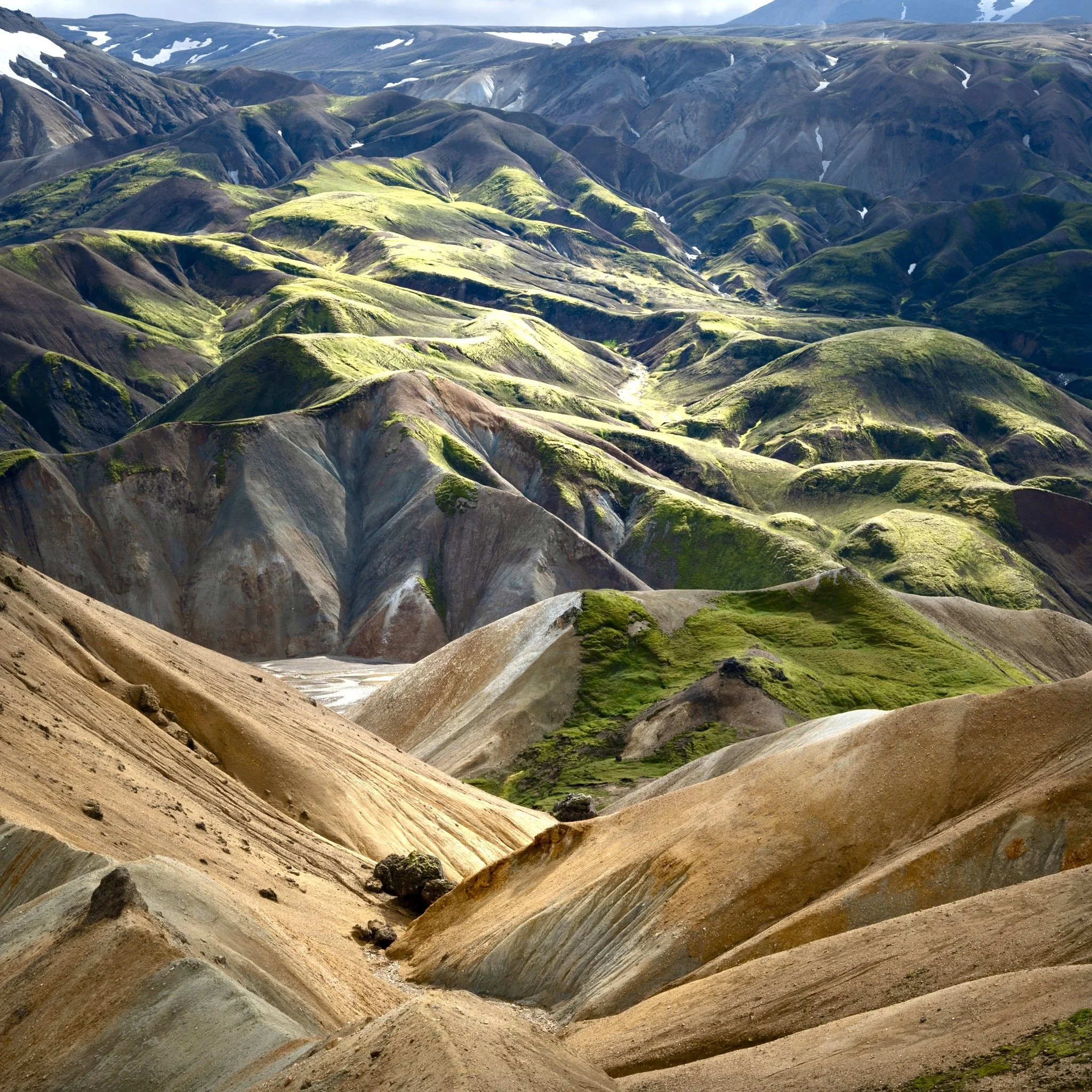
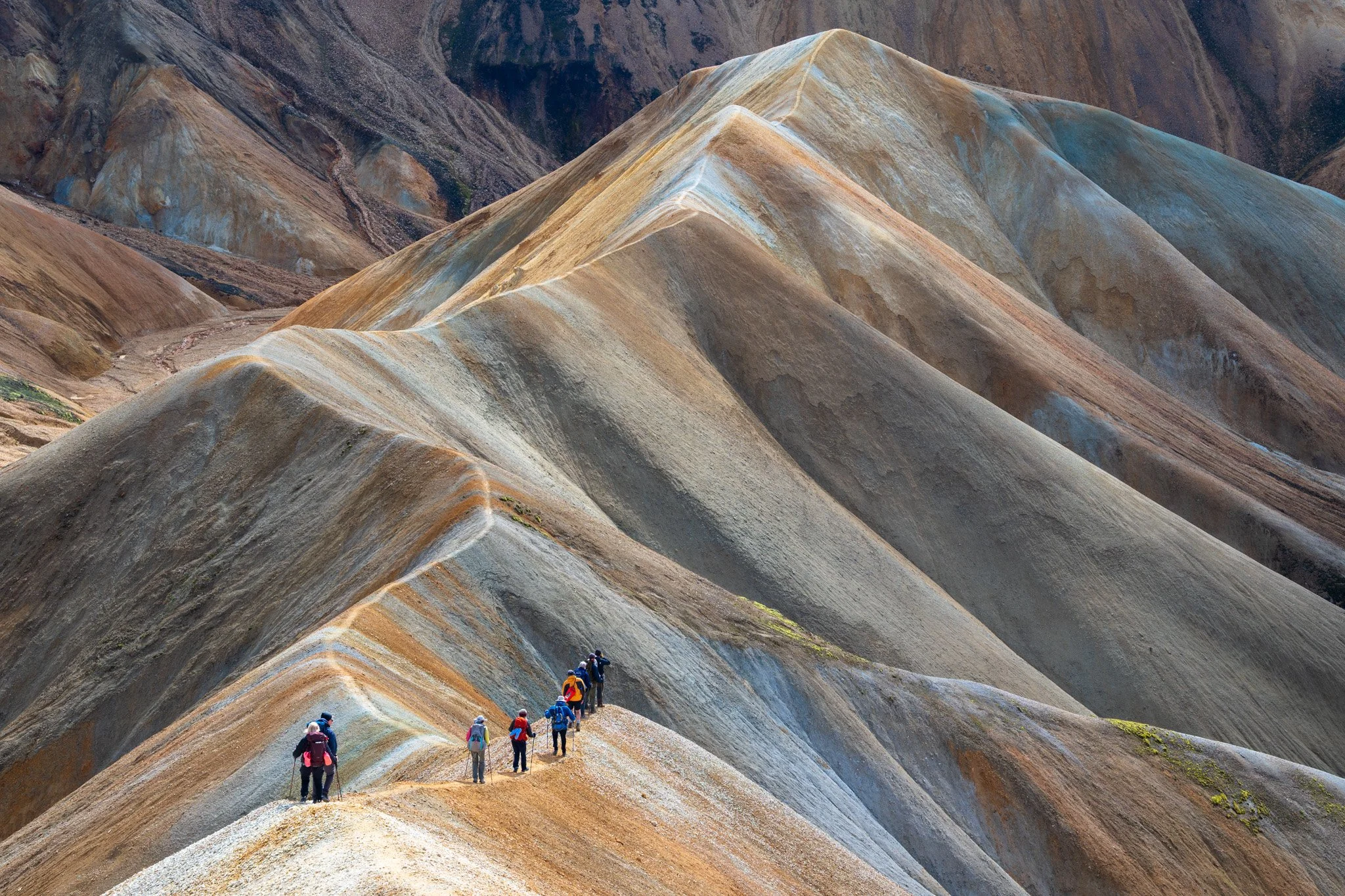
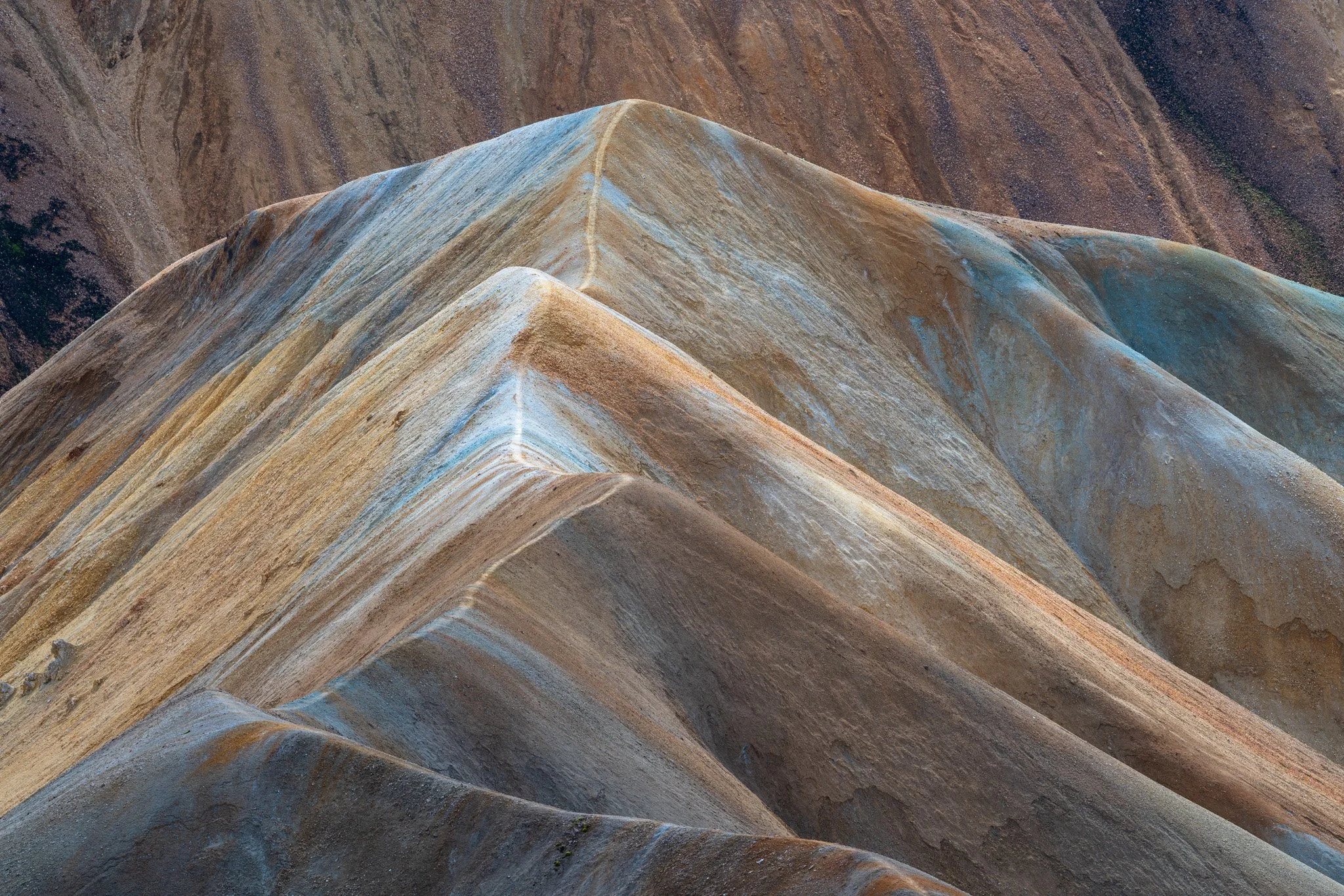
A full day out from Landmannalaugar, and the biggest climbing day of the whole trip — over a thousand metres of ascent packed into eighteen kilometres, almost all of it away from the crowds streaming south on the main Laugavergur trail. We went out on the Skalli path and branched off to traverse Uppgönguhryggur, a narrow banded ridge in yellow, blue and white that we took to calling the dragon's spine — the rhyolite laid down in stripes, the ground falling away on both sides.
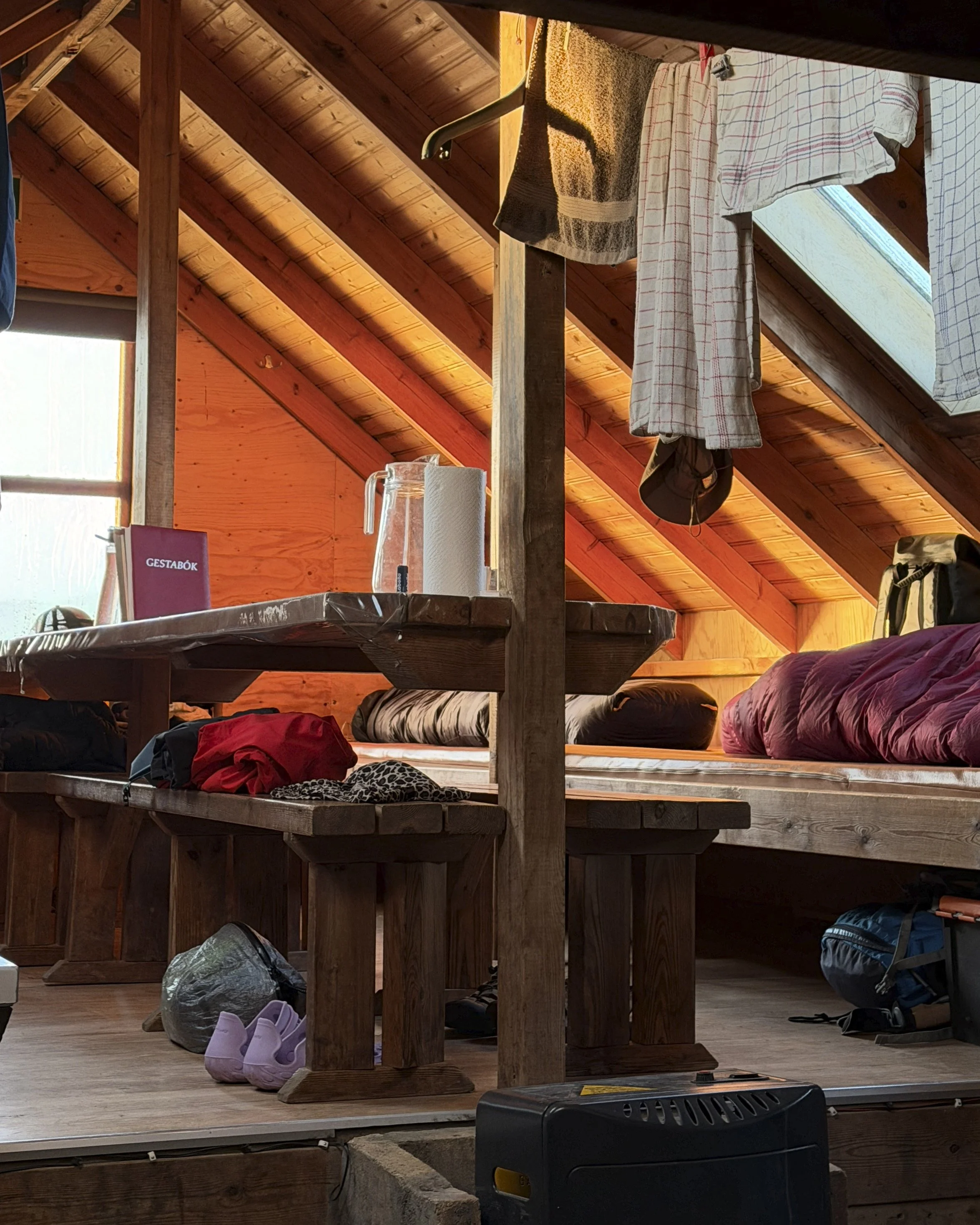
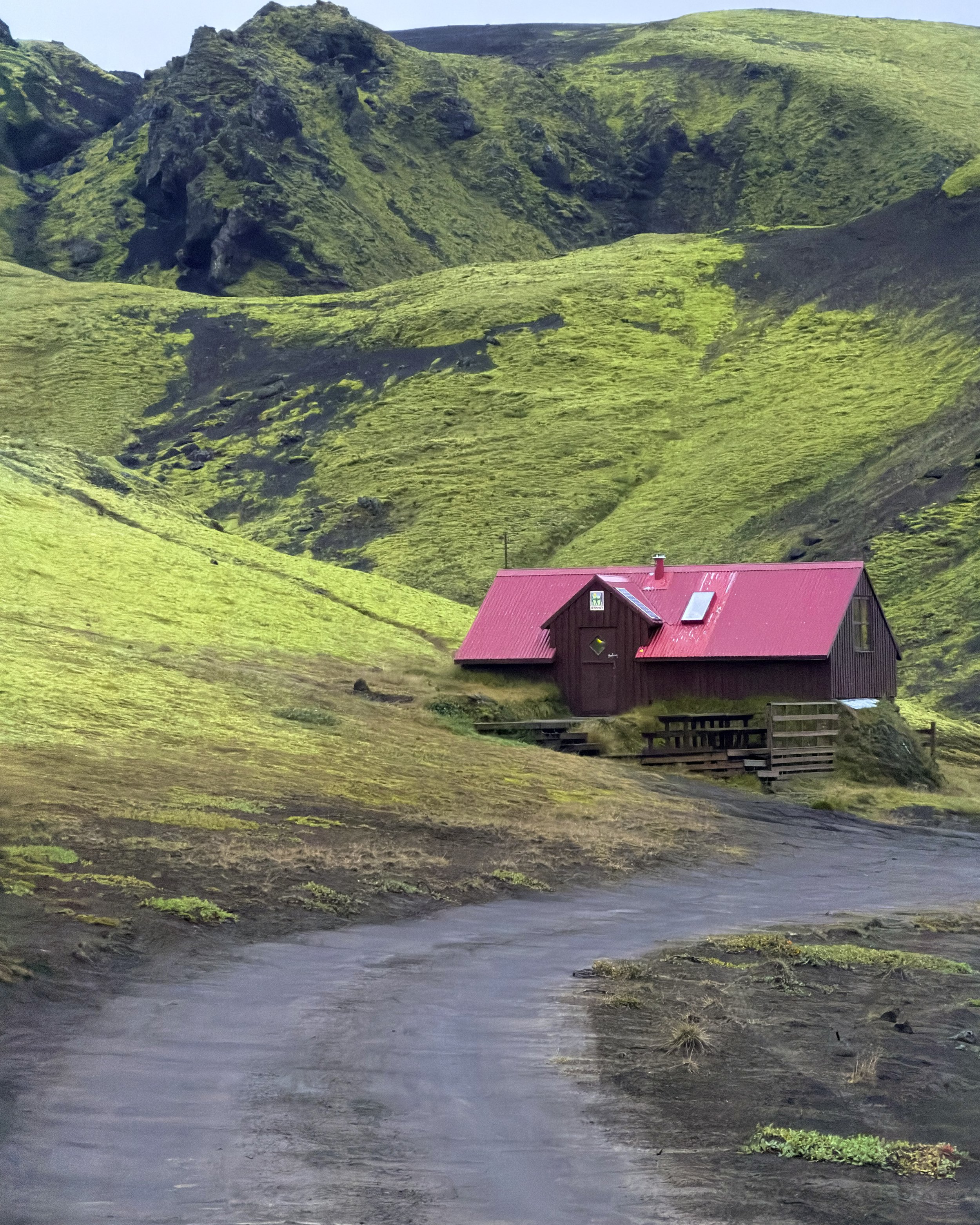
Beyond the ridge the route dropped into the Jökulgil canyon to reach Háttur, "the Hat" — a dark cap of hard rock perched on a soft yellow rhyolite mountain, standing over the green of the Hattver valley, one of the least visited corners of the area. Then back up onto Skalli to rejoin the main trail and close the loop, the day ending where it began. A second night at the Landmannalaugar hut and hot springs before leaving the rhyolite behind.
Day 4 — Landmannalaugar to Sveinstindur
out of the caldera
70km by van - no hike
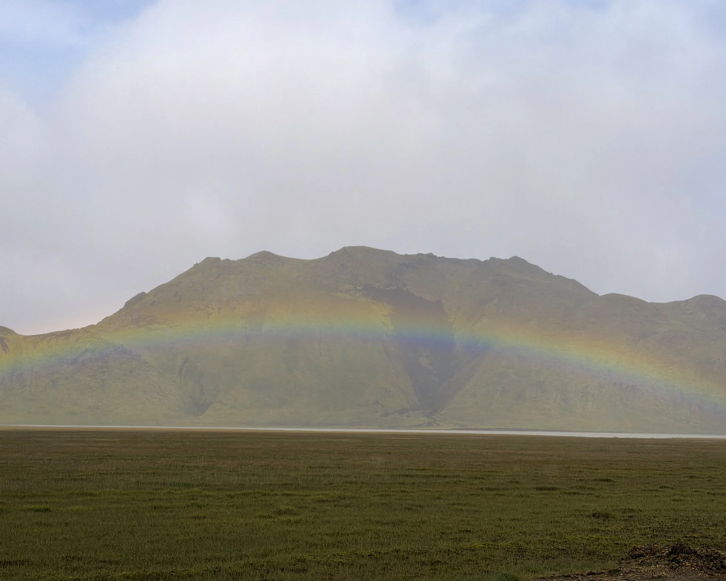
Weather: sideways rain around 0 to 5°C
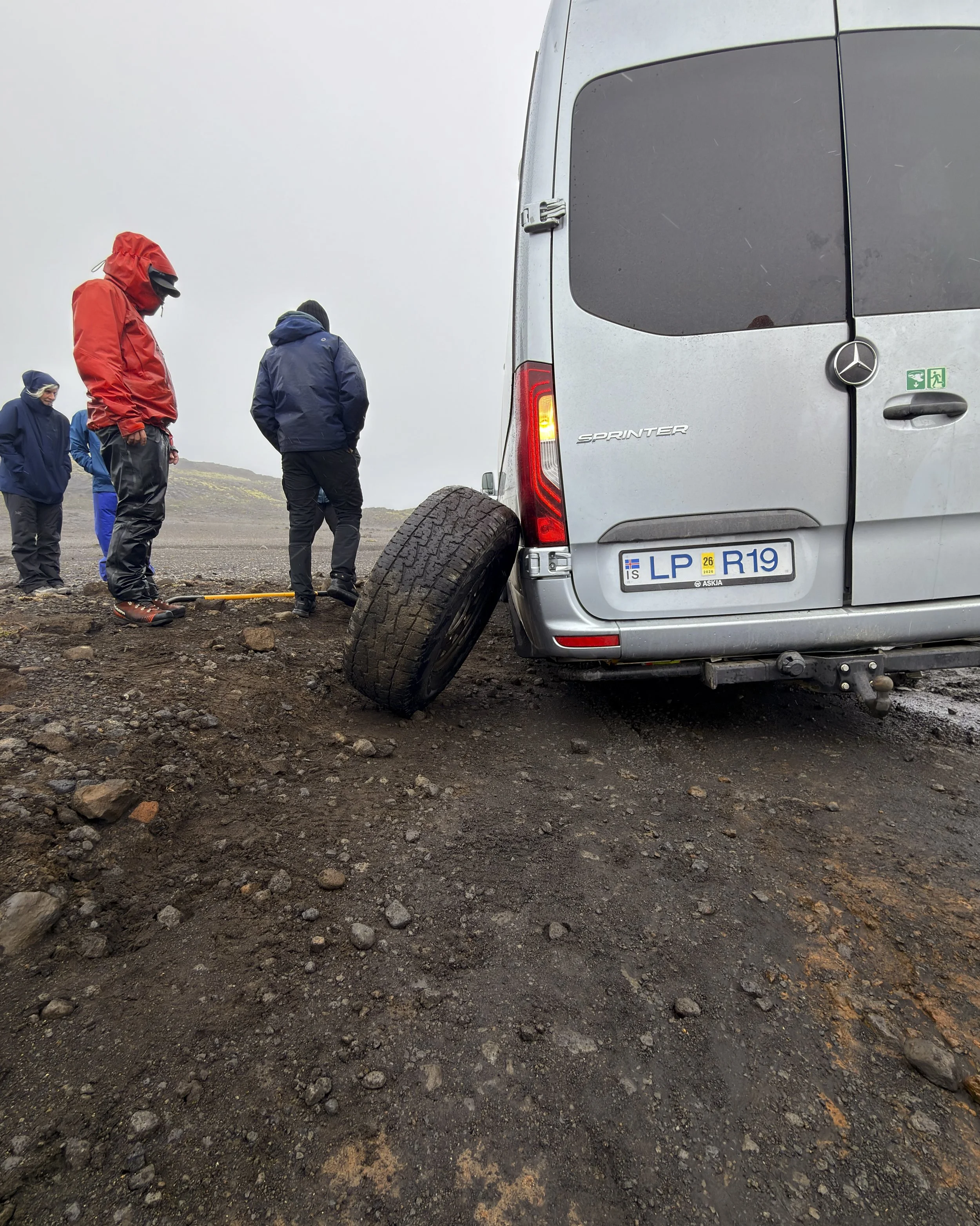
A day of transit, and the hinge of the whole trip. Some seventy kilometres by van over remote tracks carried us out of the Torfajökull caldera and into a different world entirely — out of the rhyolite and into the black basalt country of the Katla and Eldgjá system, a separate volcano, a separate kind of ground. The weather came in hard: sideways rain most of the day, and somewhere on the rough road the van lost a wheel, which fixed us in place for a while in the downpour.
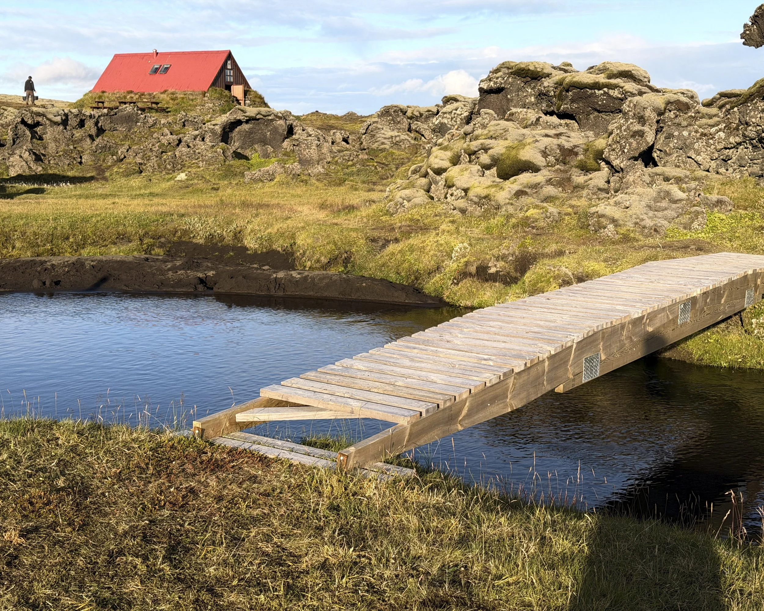
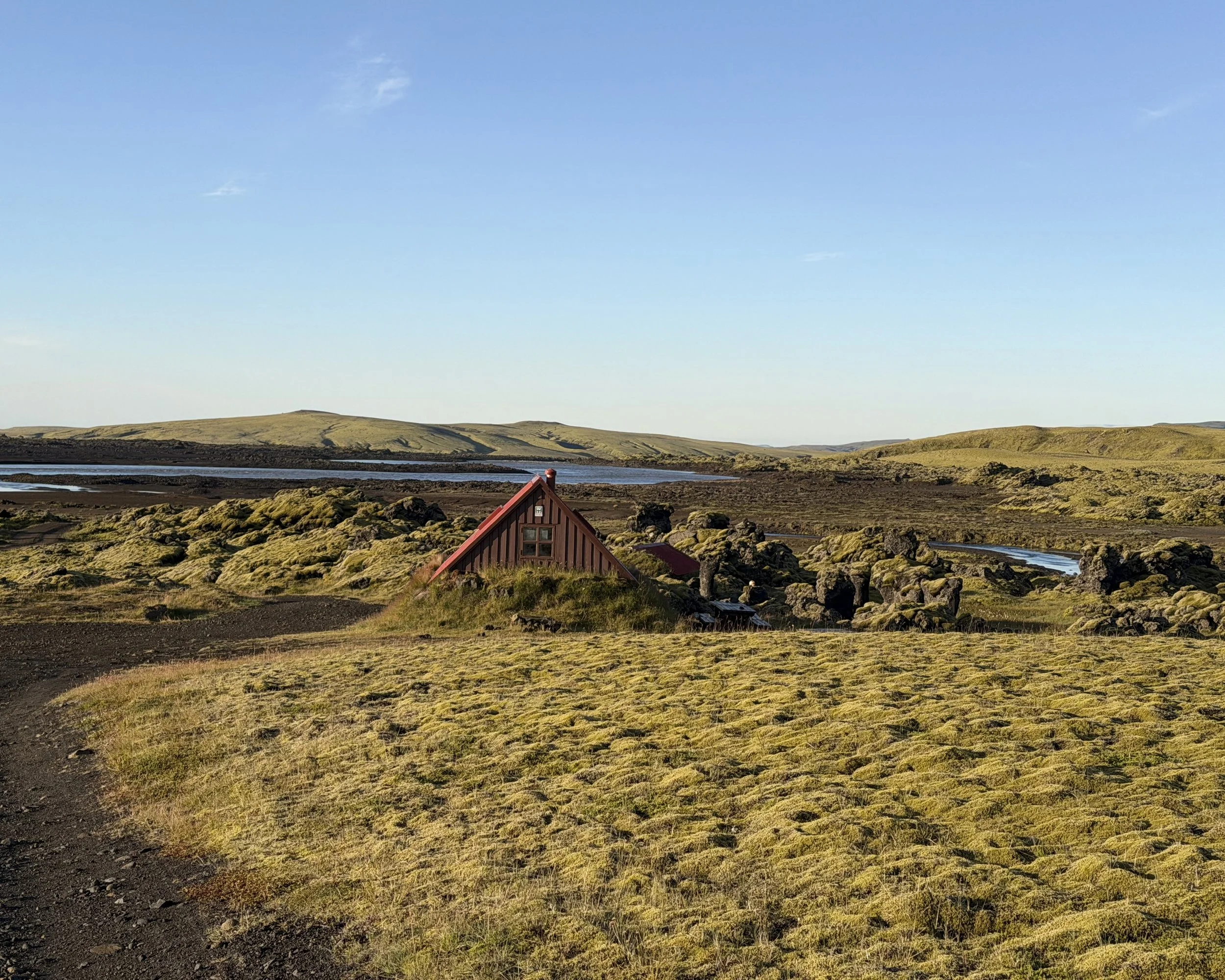
There was no walking on arrival. The hut at Sveinstindur — out near Lake Langisjór and the Skaftá river, in the Vatnajökull National Park country, below its 1,089-metre peak — was ours alone, the first of the remote huts with no one else in them. The rain cleared overnight. By morning there was frost on the ground and a clear sky, the first of the trip, opening onto the black balsalt country ahead.
Day 5 — Sveinstindur to Skælingar
the black and the green
17 km · ~453 m ascent
Weather: Sunny and frost on the ground
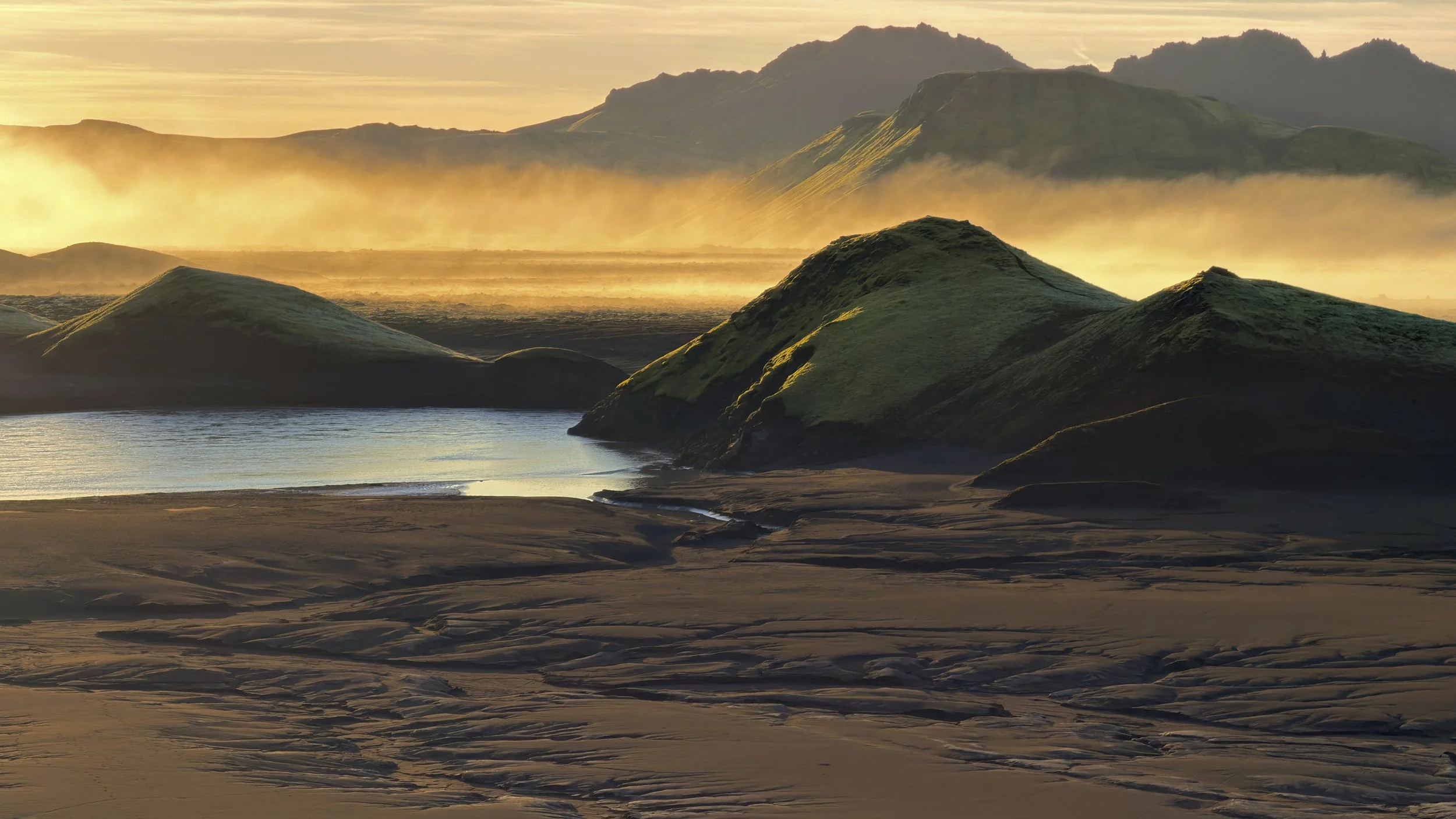
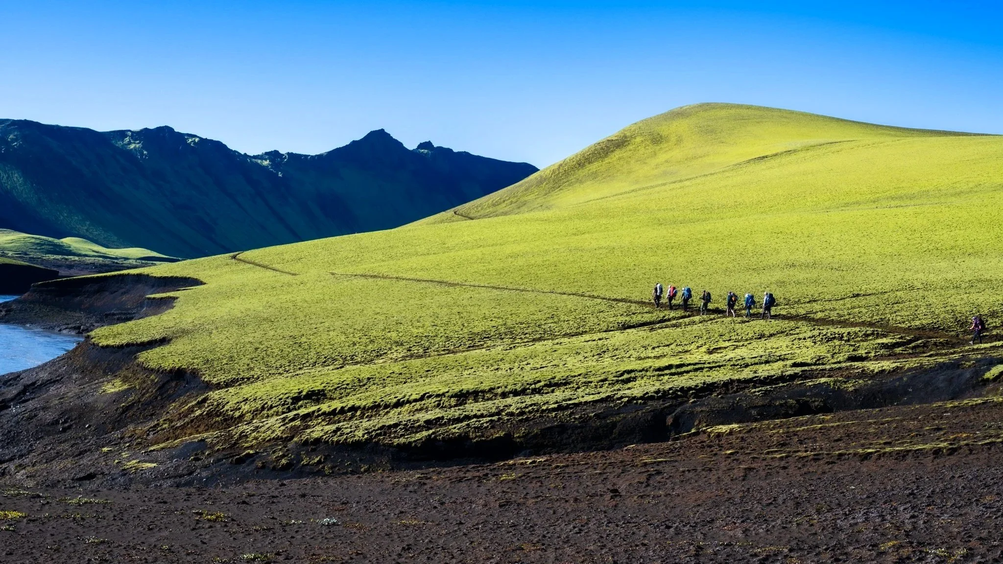
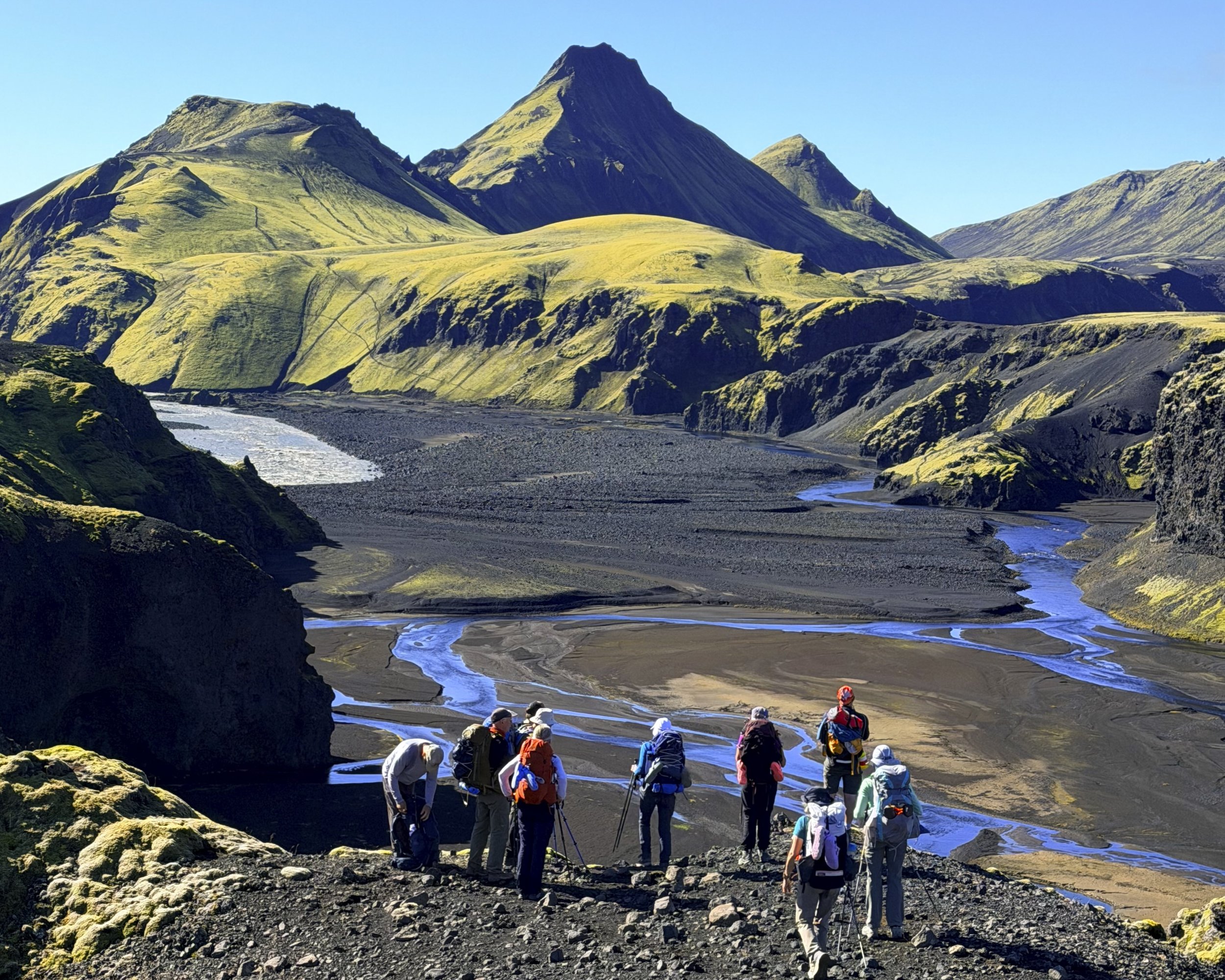
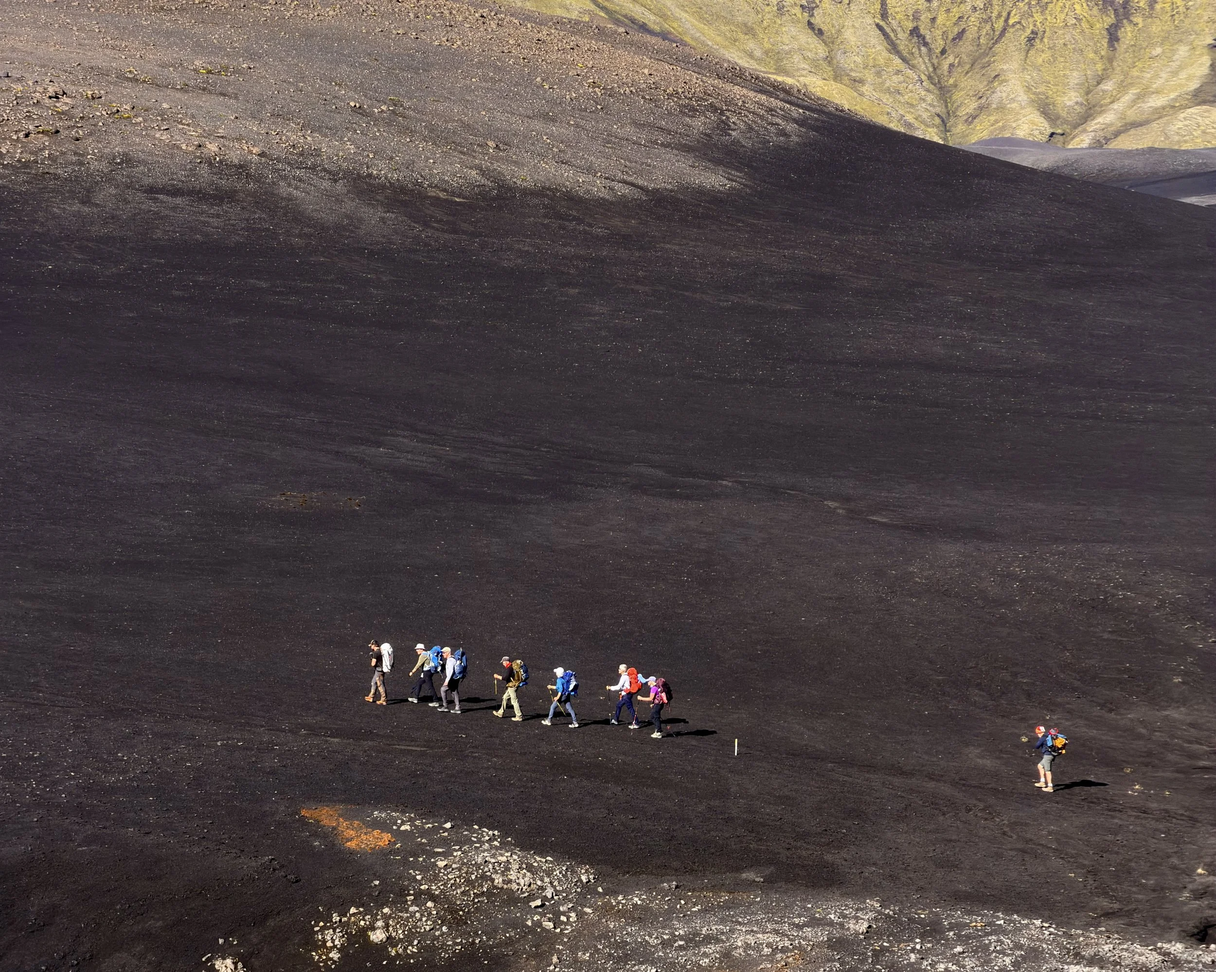
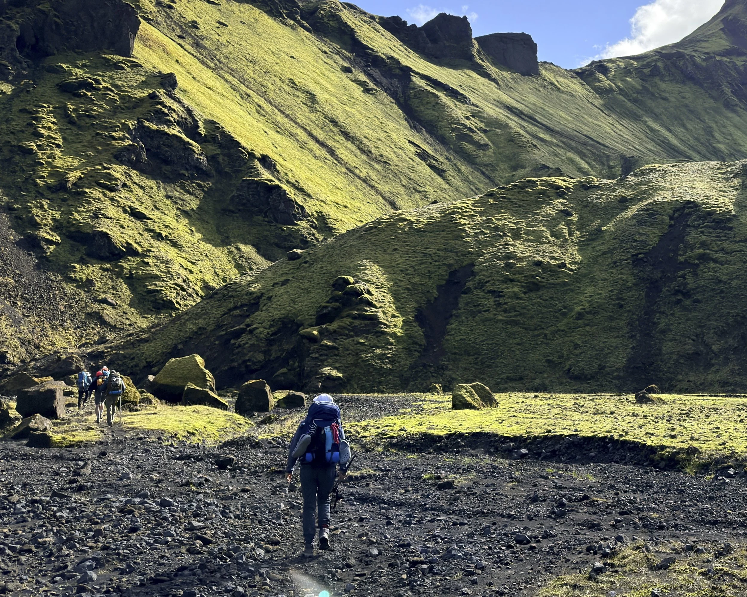
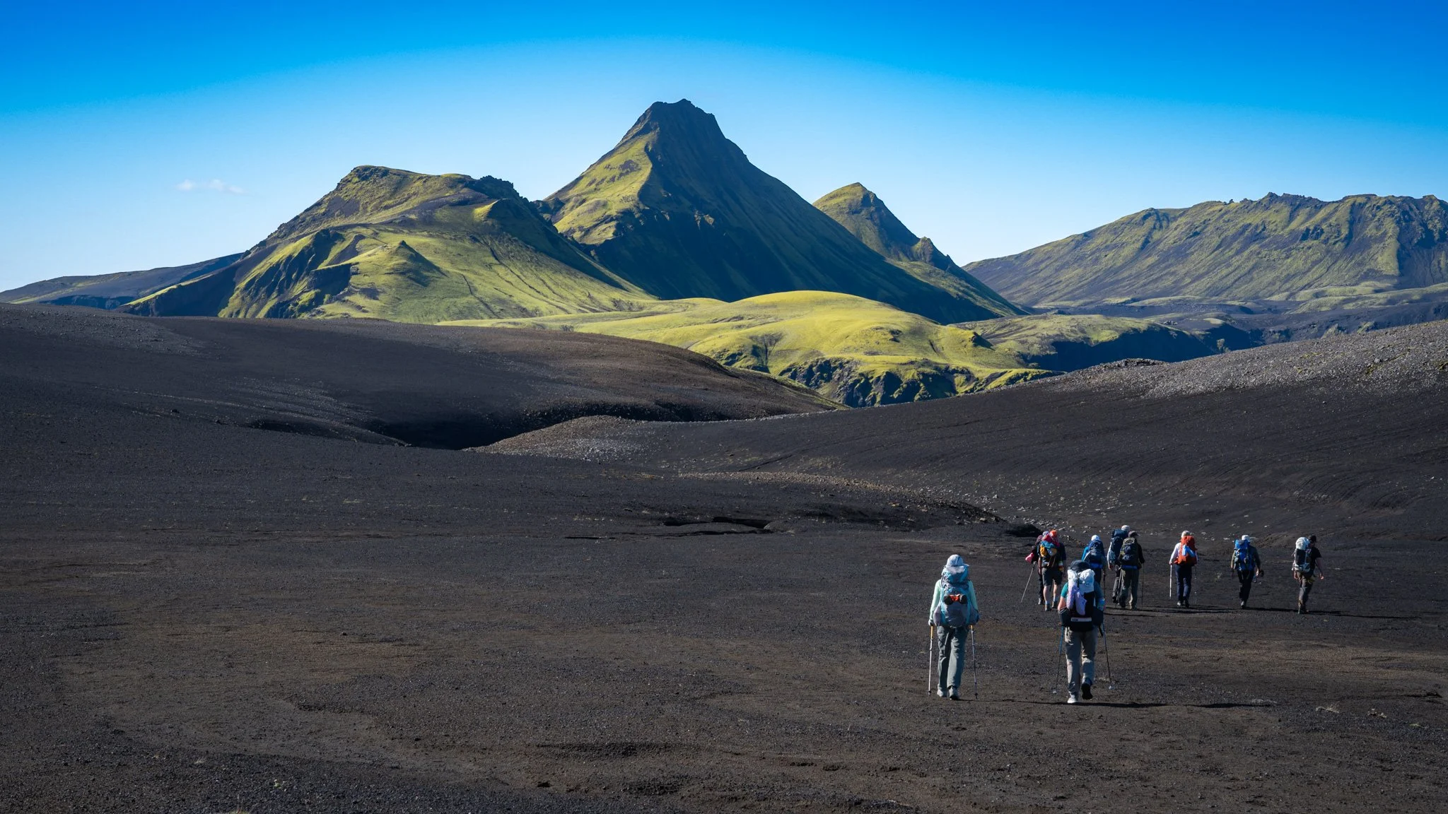
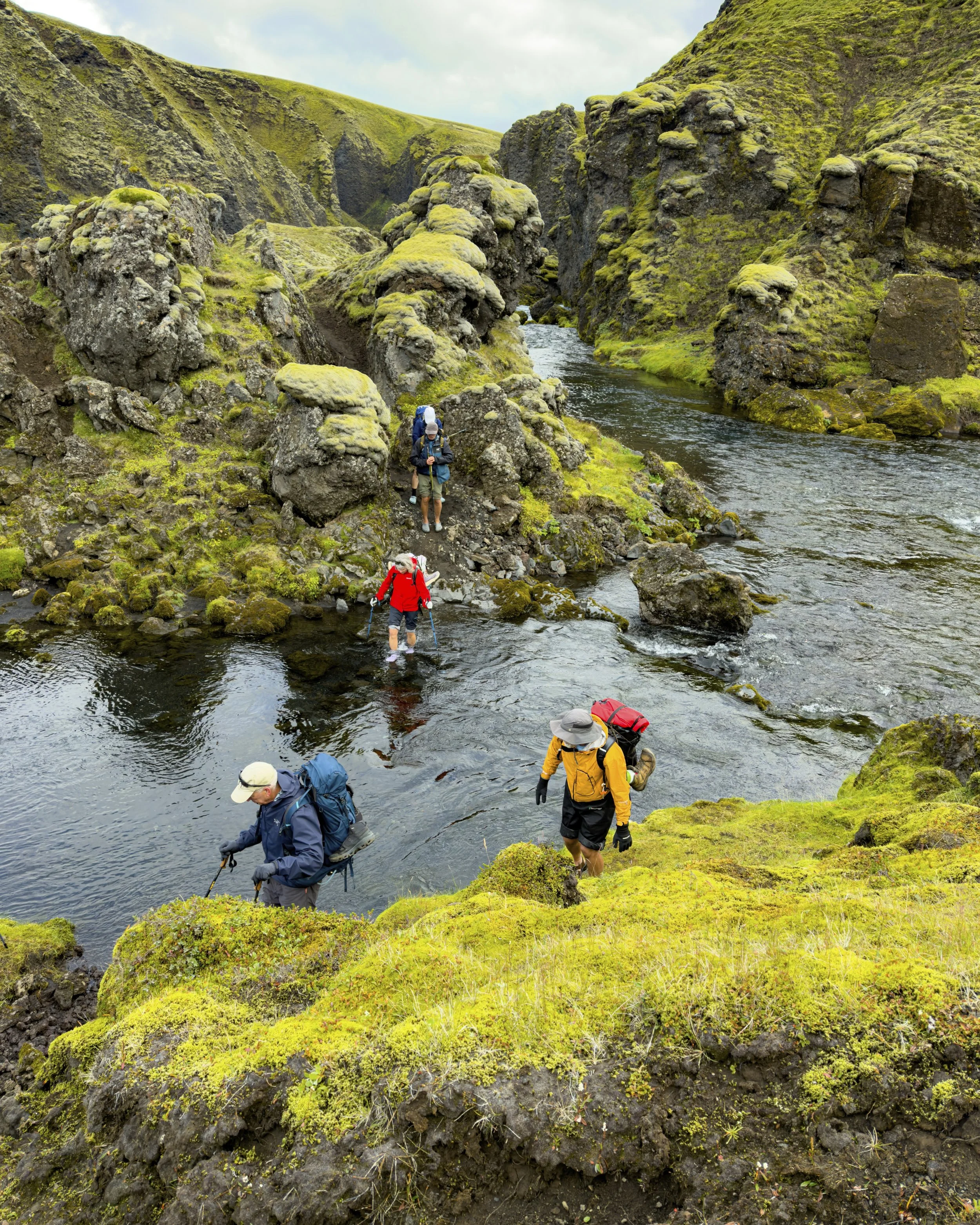
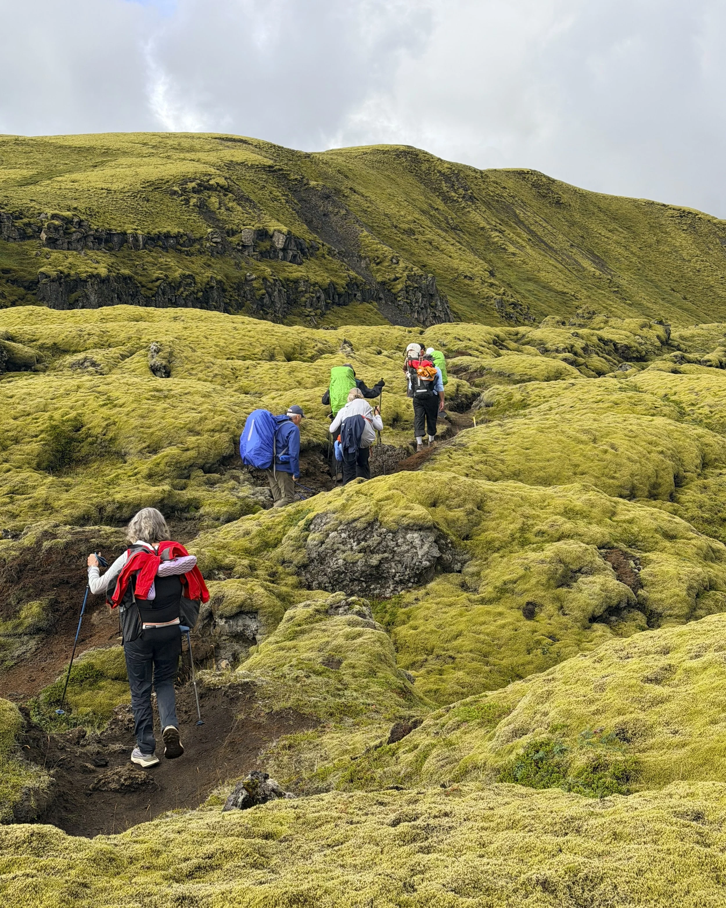
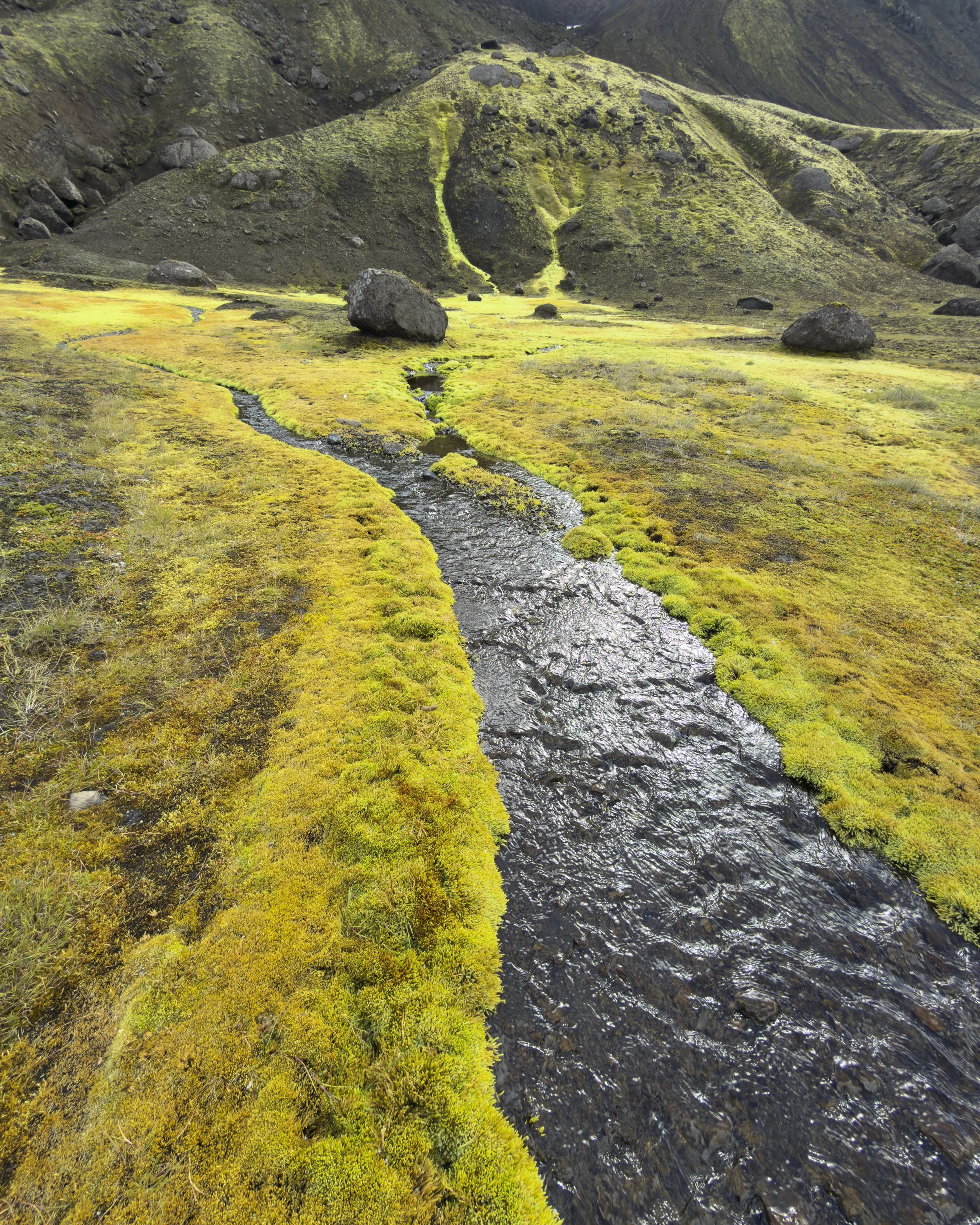
The first full day on foot in the black country, and the ground had changed chemistry overnight. Here the lava is silica-poor and cools dark, so the painted rhyolite of the days before gives way to black basalt — and across it, tracing every line where water runs, a bright green moss, the first thing to take hold on raw lava. We followed the Skaftá river beneath the moss-green Ox Peak of Uxatindar to a lagoon at their foot, with no one else anywhere in sight.
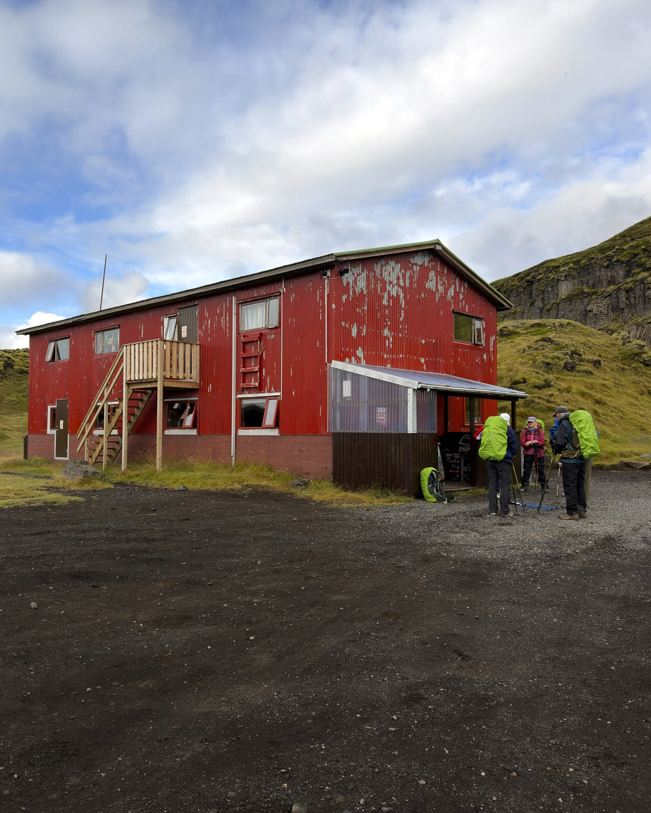
From the lake we dropped into the “troll canyon”, where the lava stands in twisted pillars across the ground. In the old stories these are trolls — caught out at dawn and turned to stone, frozen where the sunlight found them. It is how people once made sense of a country that could kill you. The rock was alive, the hidden people and the elves lived inside it, and the empty land was never quite empty. We climbed out to a high point and a service road, left the easy line and service road, and dropped into a second canyon to reach the hut at Skælingar for the night.
Day 6 — Skælingar to Hólaskjól
into the fissure
17.2 km · ~428 m ascent
Weather: Sunny 10C to 15C
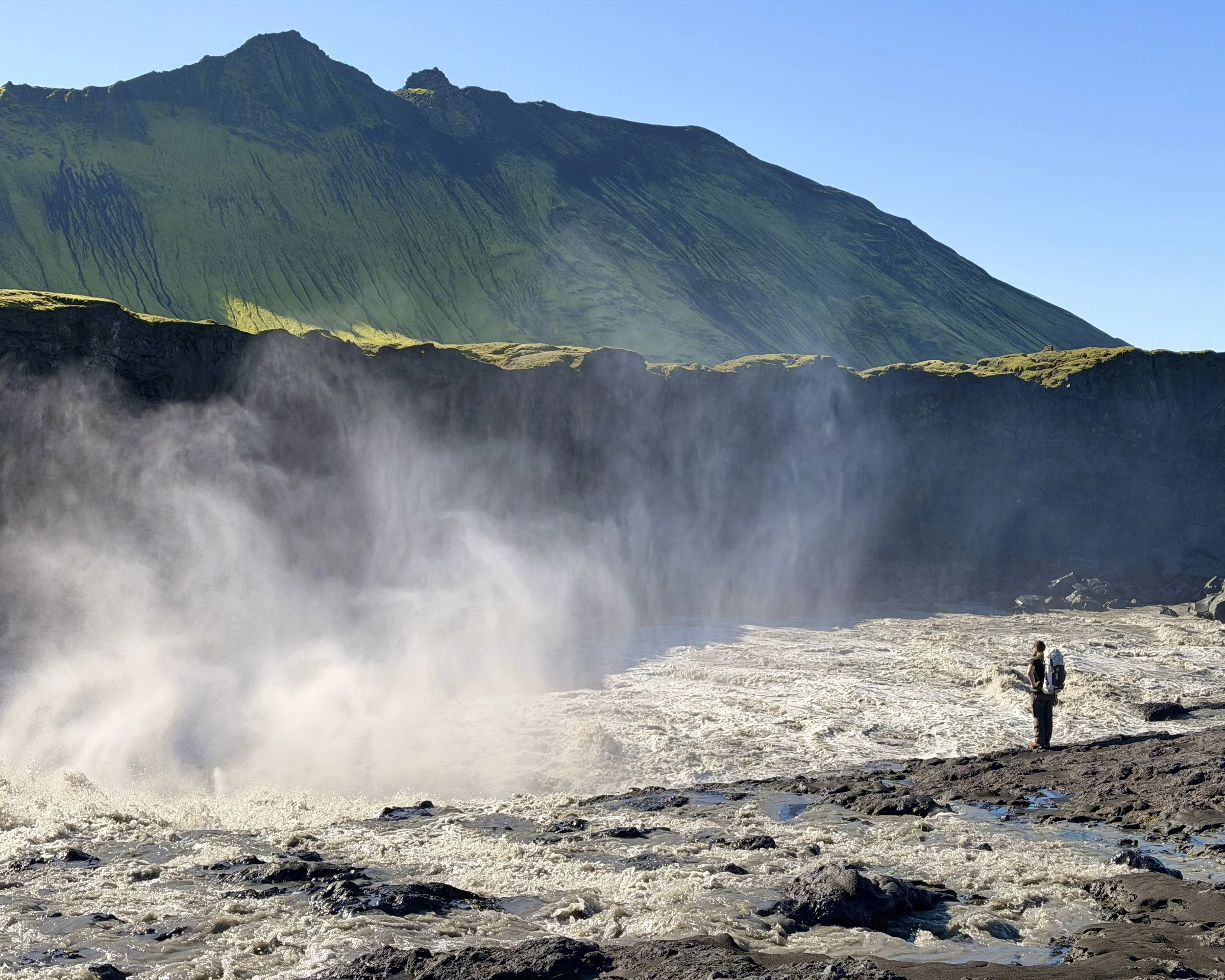
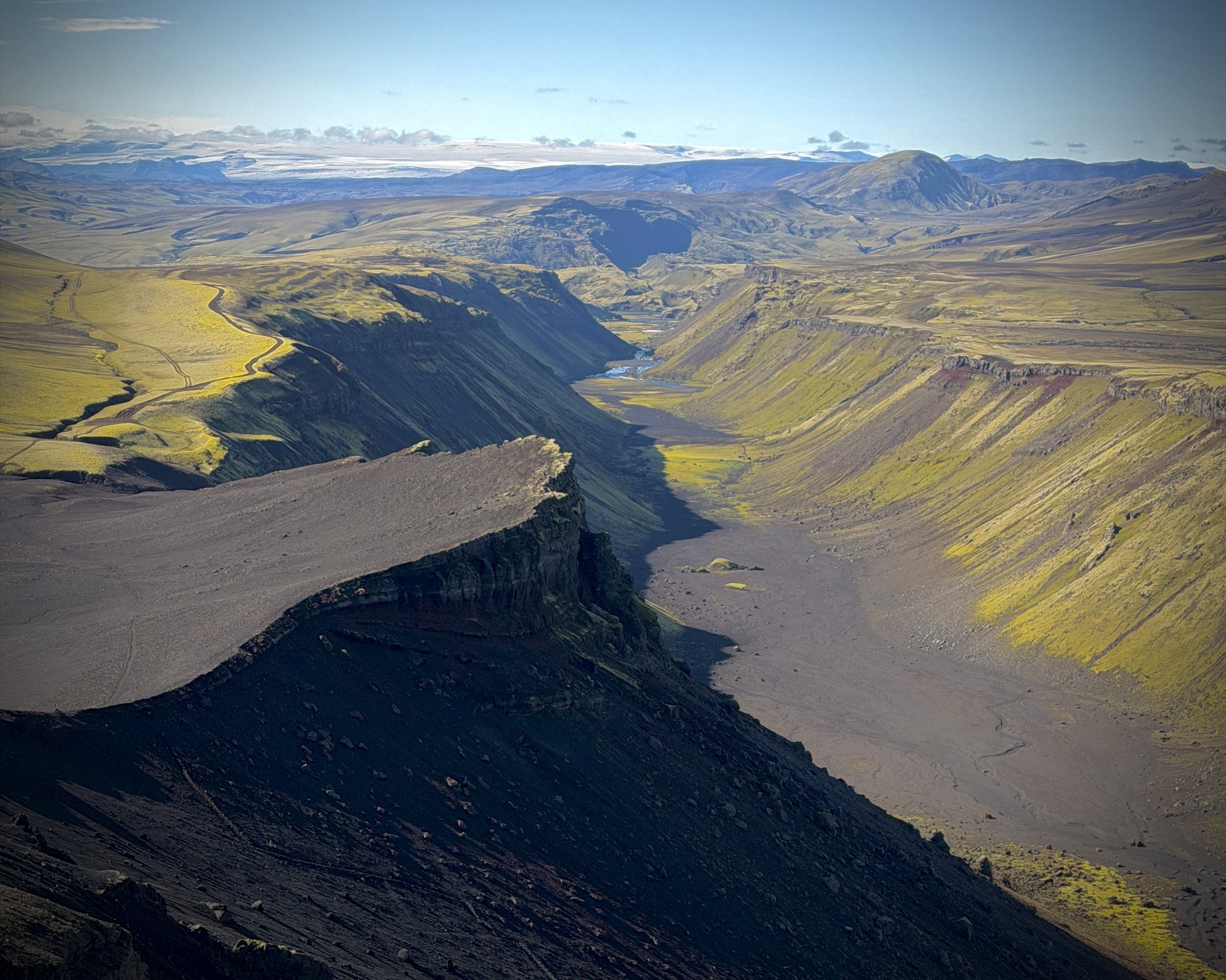
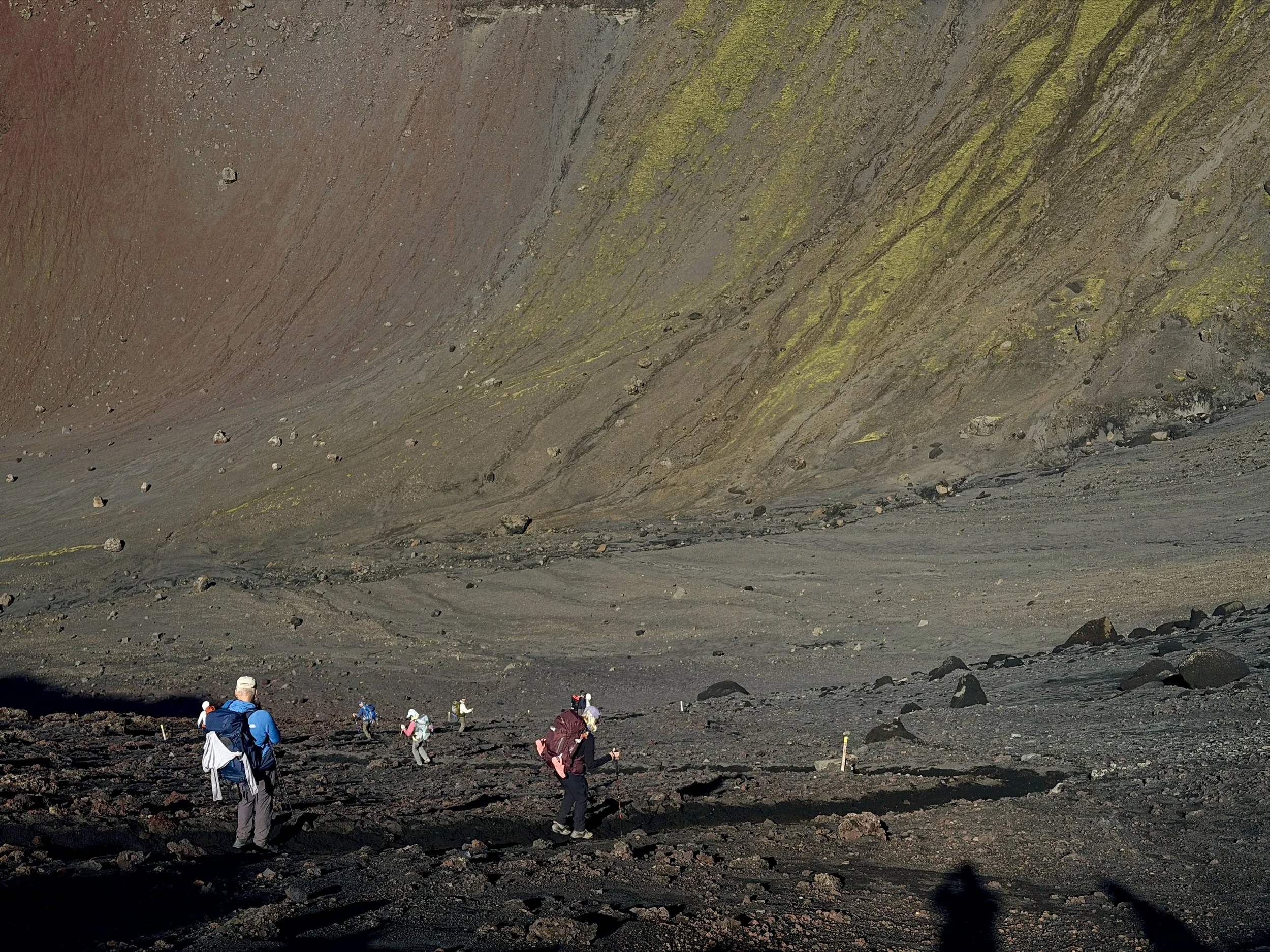
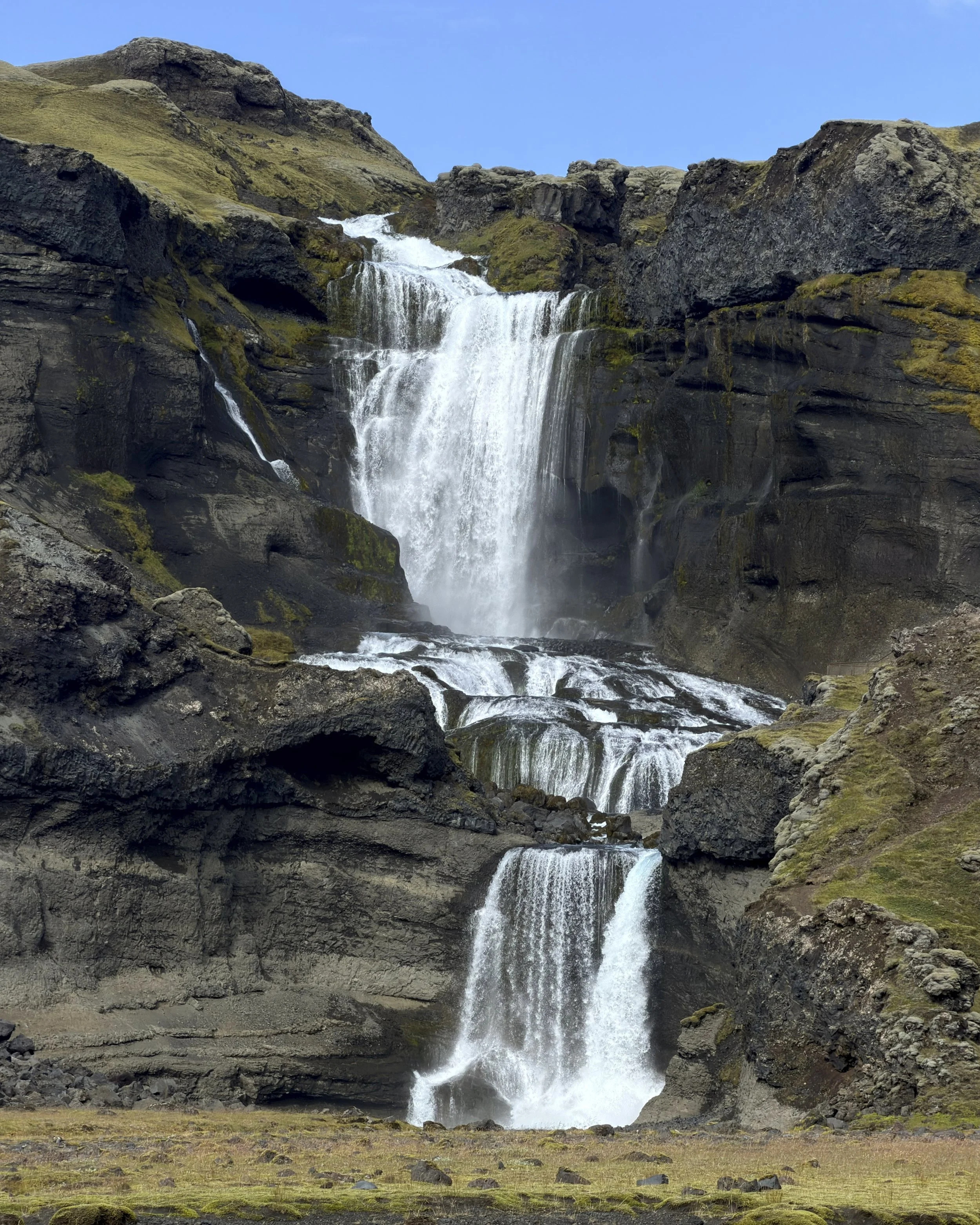
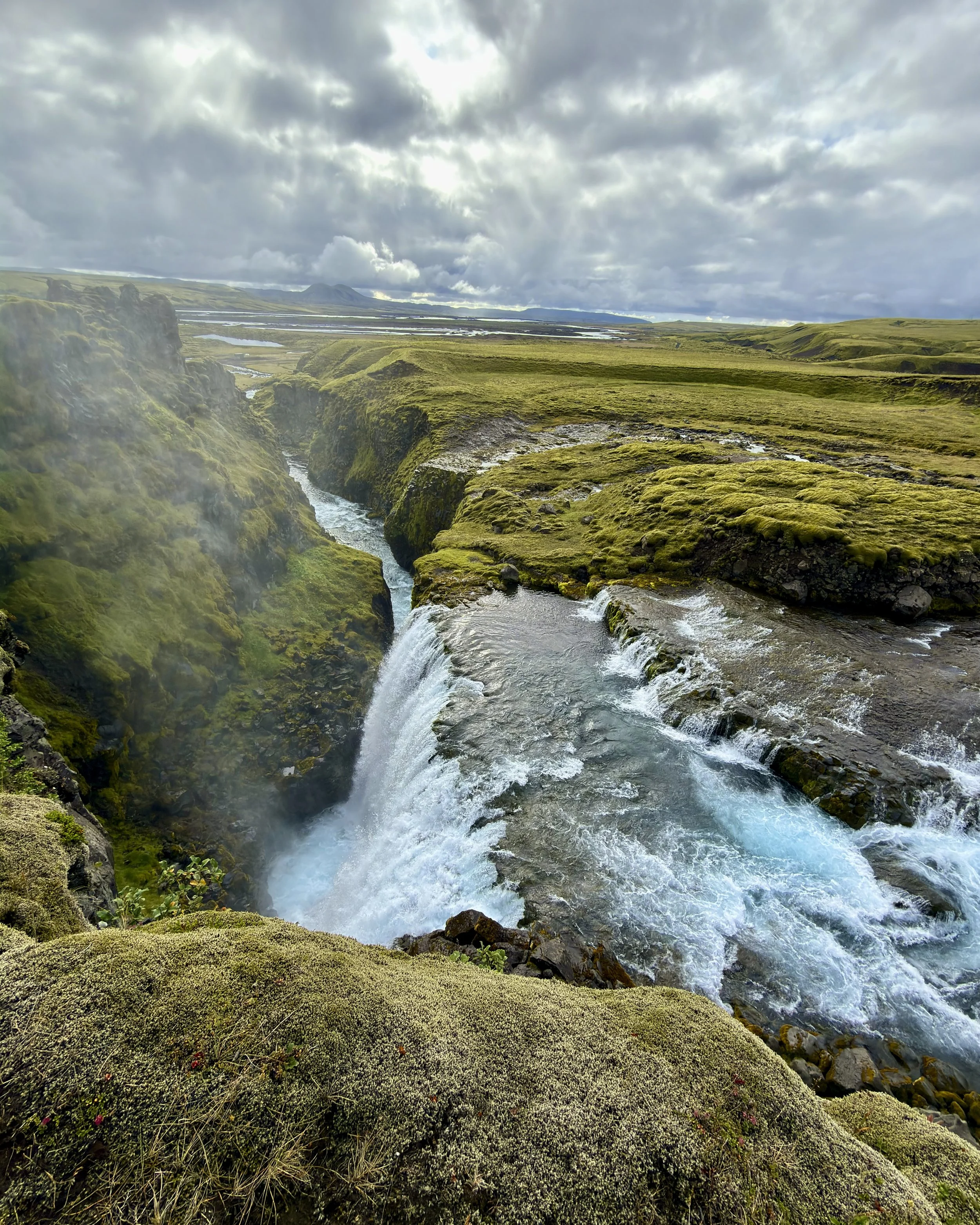
Into the fire canyon. From the high ground above the great fissure the route drops into the Eldgjá fissure, down a steep slope of loose black sand that slides underfoot like scree (but better than scree), the dark walls of the canyon rising on either side. On the floor, Ófærufoss — "the impassable falls" — drops in two tiers into the gorge; until the early 1990s a natural stone arch spanned it, a rock bridge over the water, before a spring flood took it down.
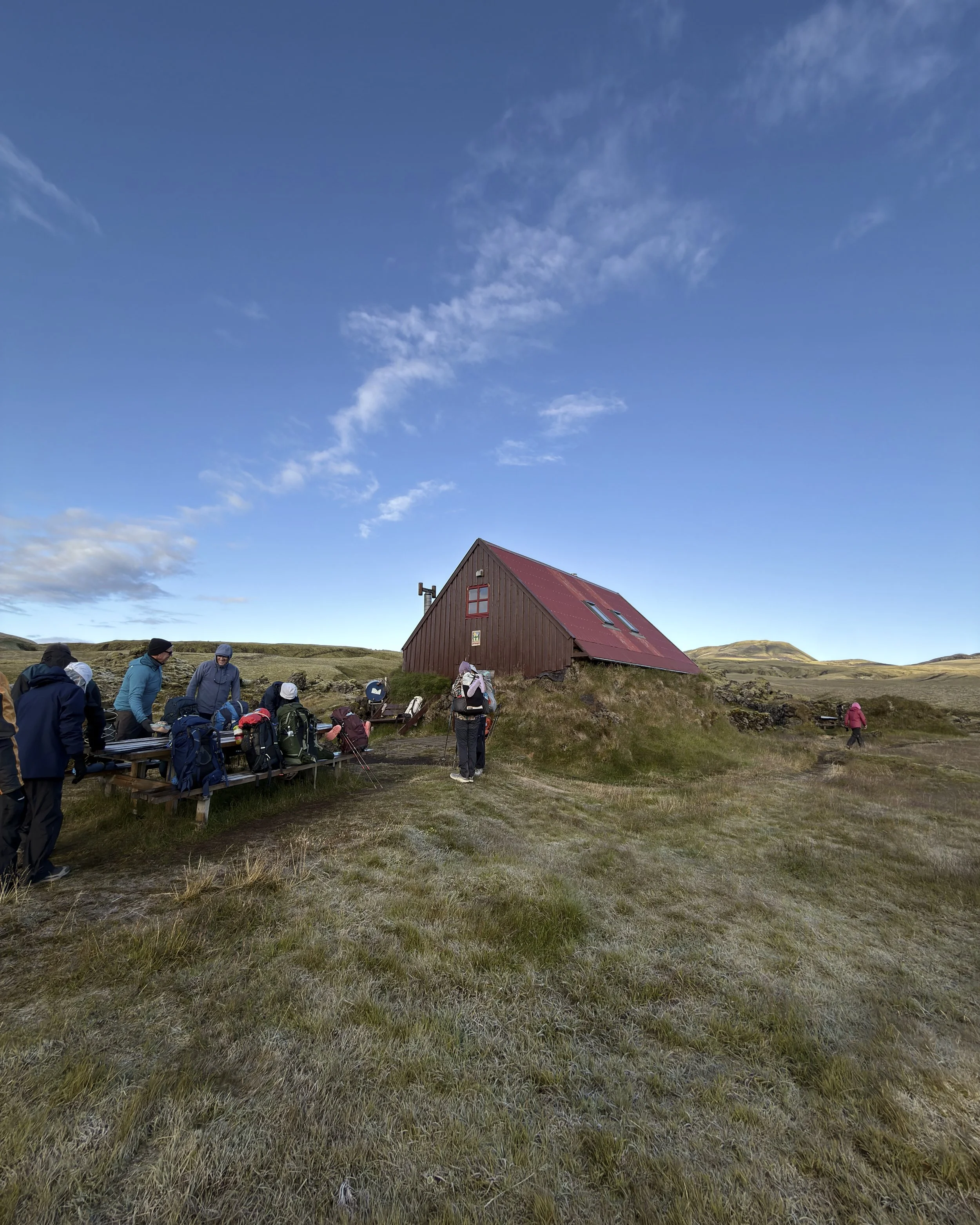
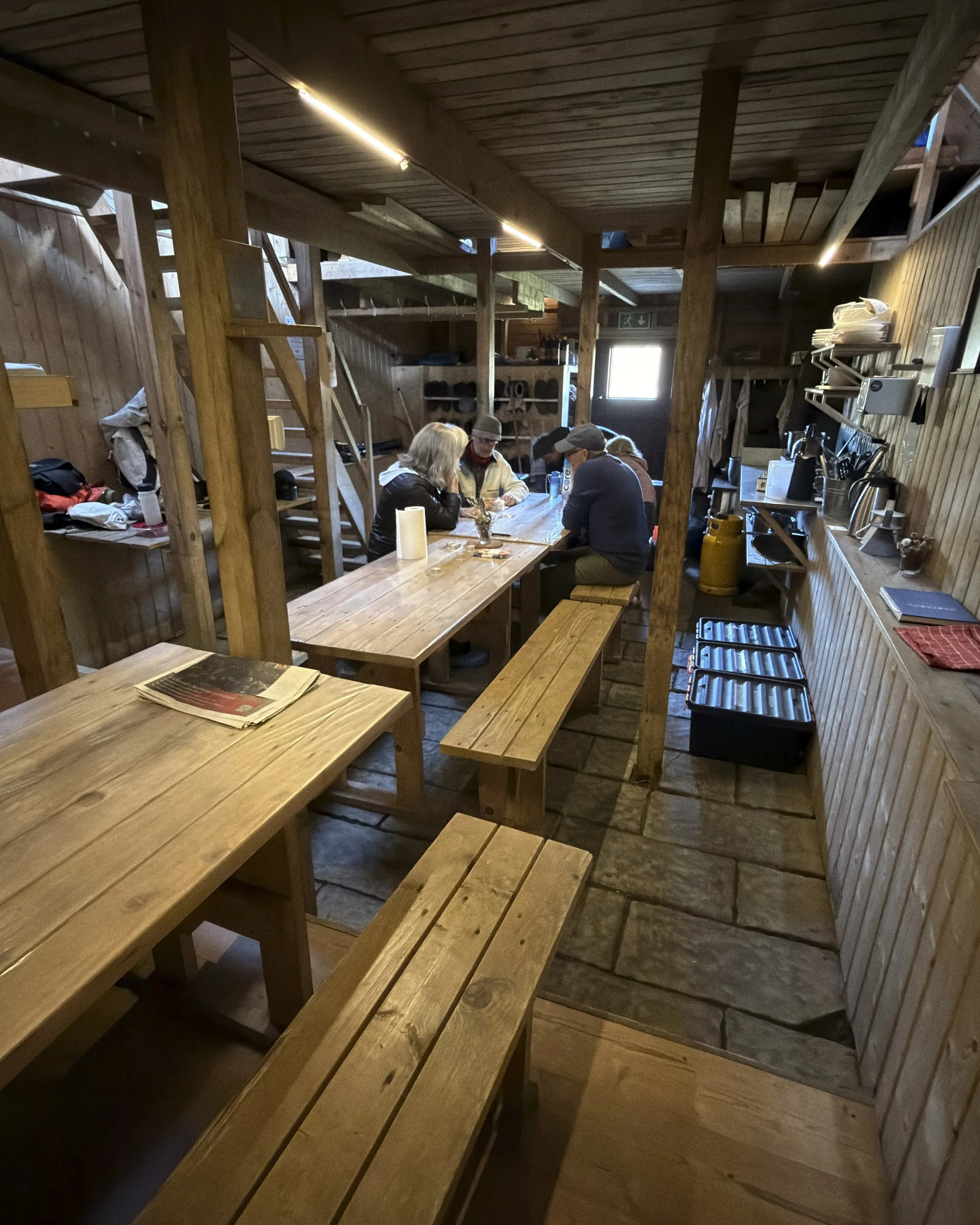
Eldgjá is the source of all the black ground we'd been walking. It is a fissure system some seventy-five kilometres long, torn along the Katla volcano, and when it erupted around the year 934 it poured out close to twenty cubic kilometres of lava — the largest flood-basalt eruption of the last thousand years, bigger than Laki, its haze darkening skies as far away as Europe and China. And yet, extraordinarily, no one who lived through it left a written word about it. Out of the canyon at last to Hólaskjól, a larger hut back on the road — the one busy night in a quiet stretch.
Day 7 — Hólaskjól to Álftavötn
green moss country
6.7 km · 209 m ascent
Weather: Sunny 10C to 15C
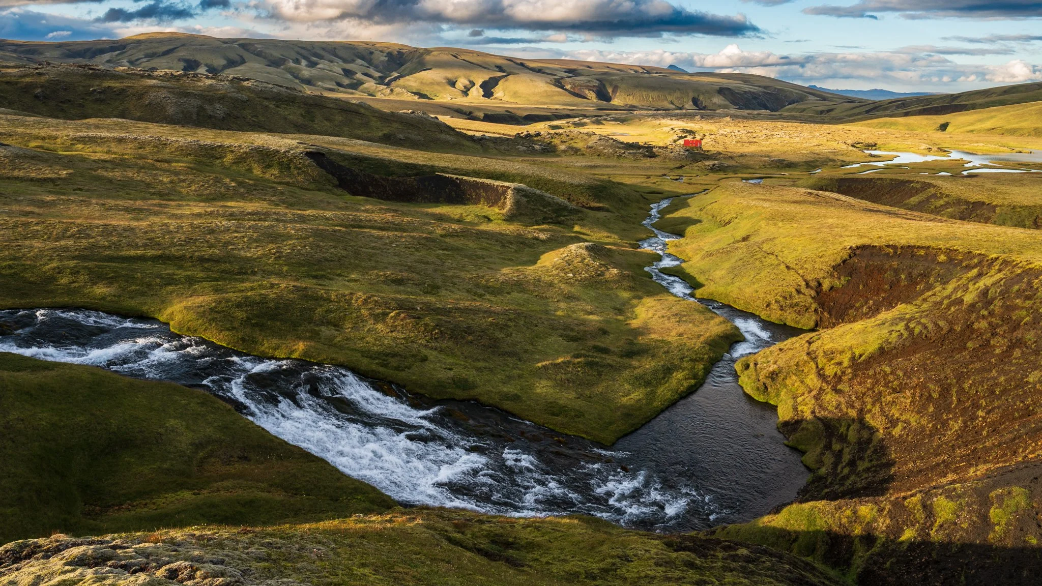
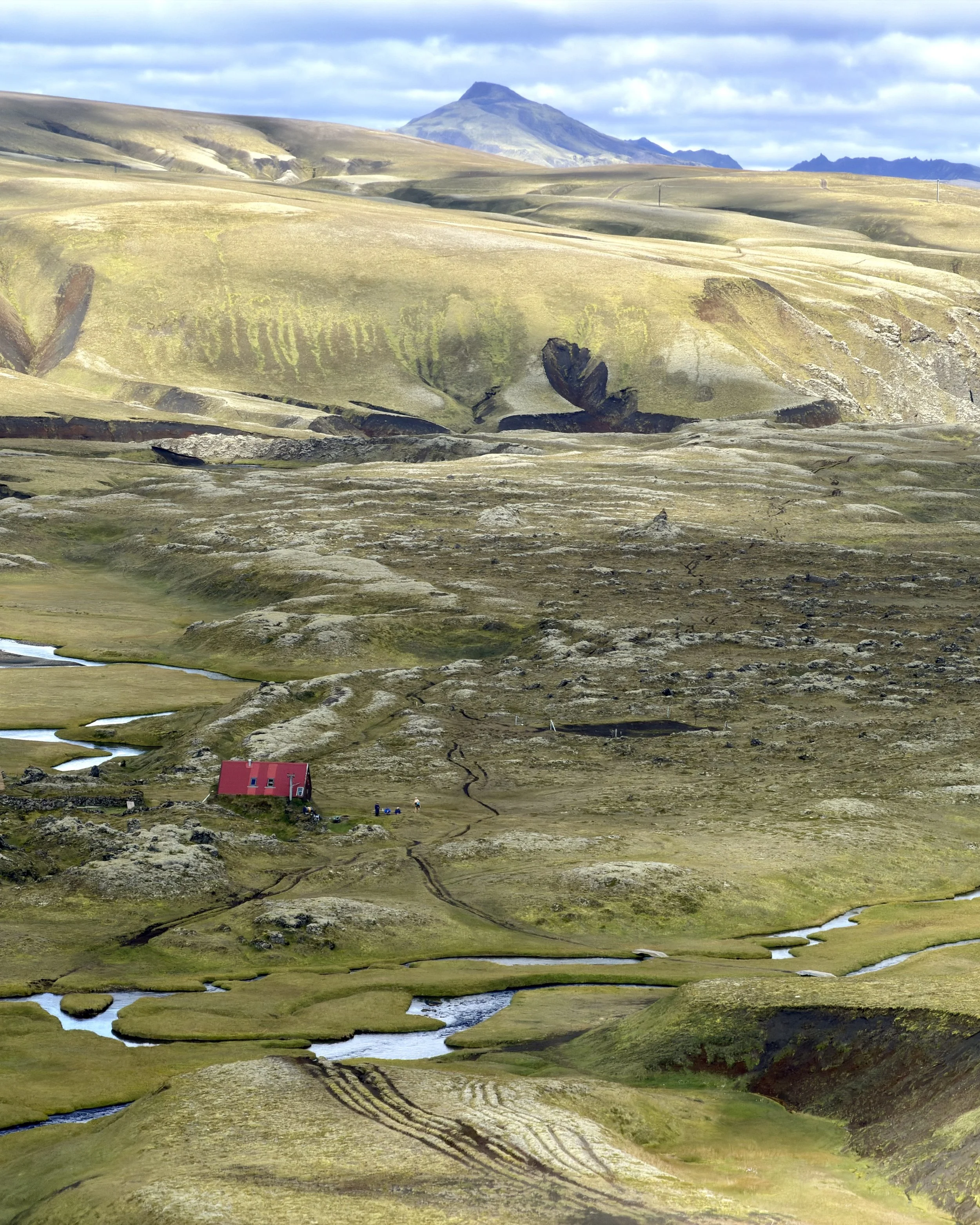
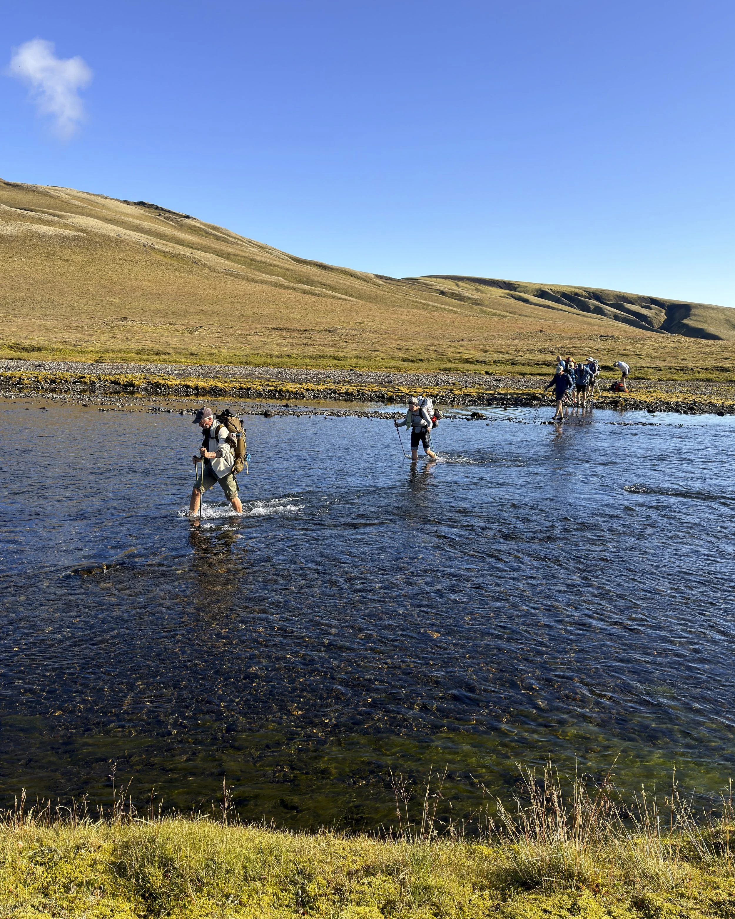
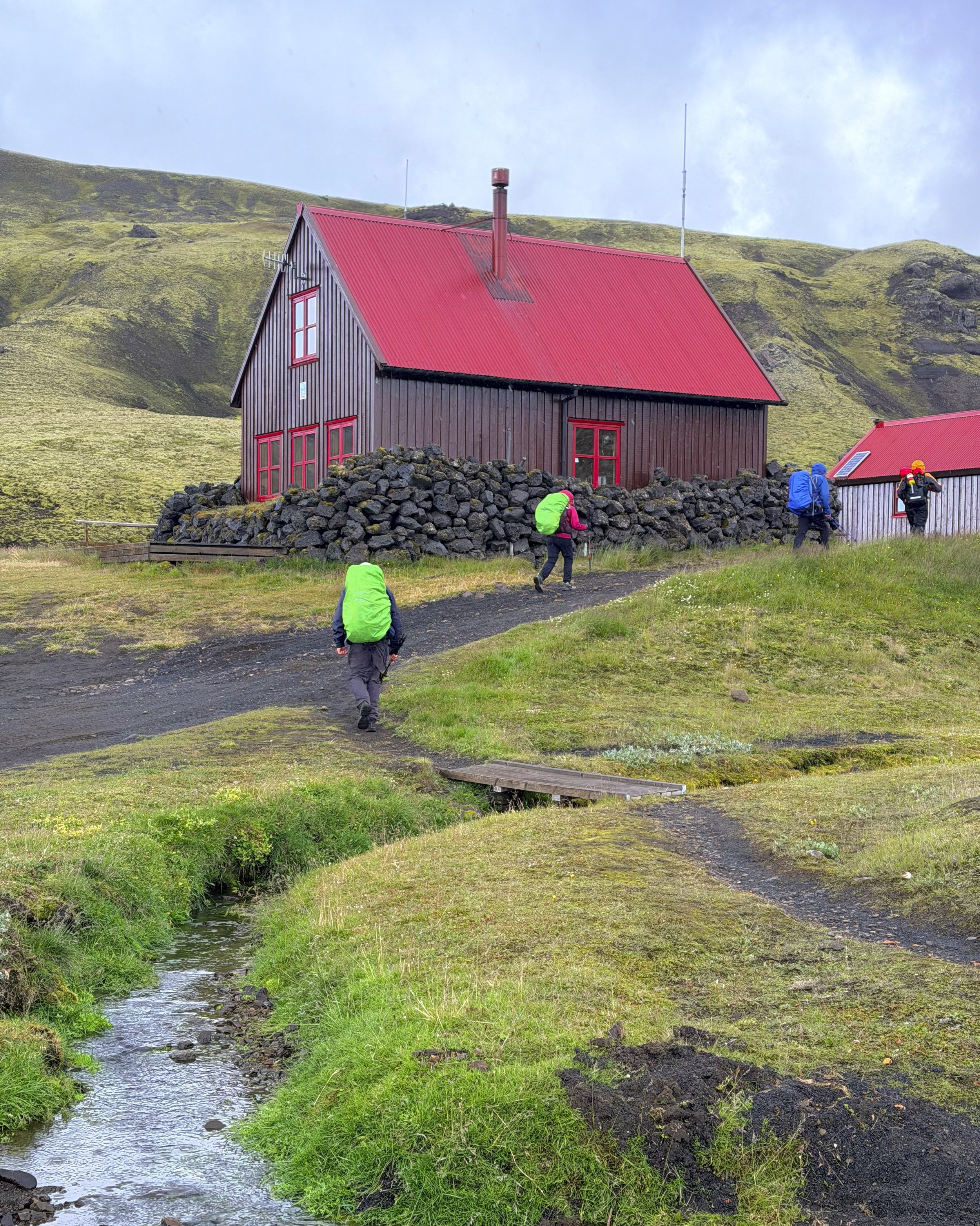
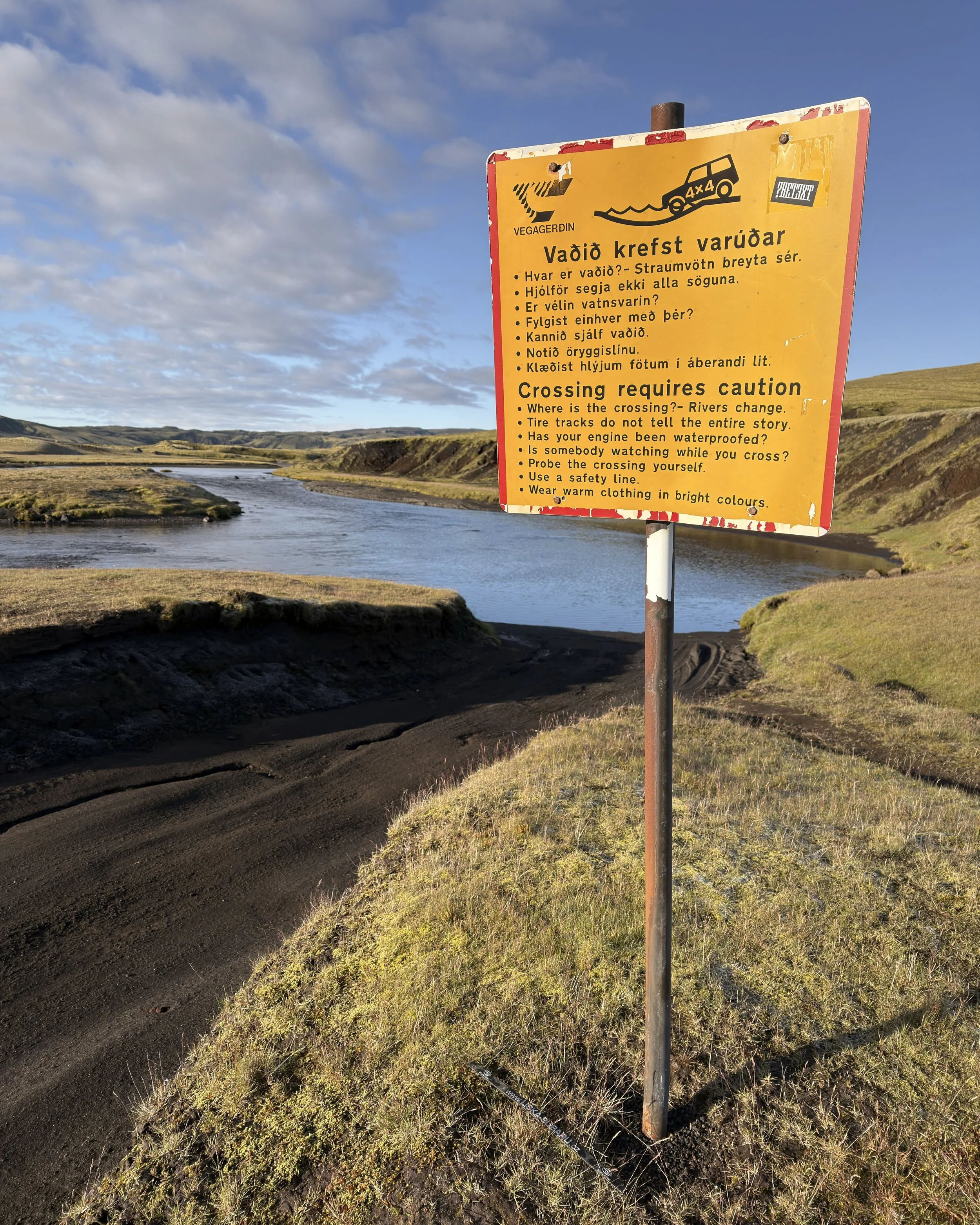
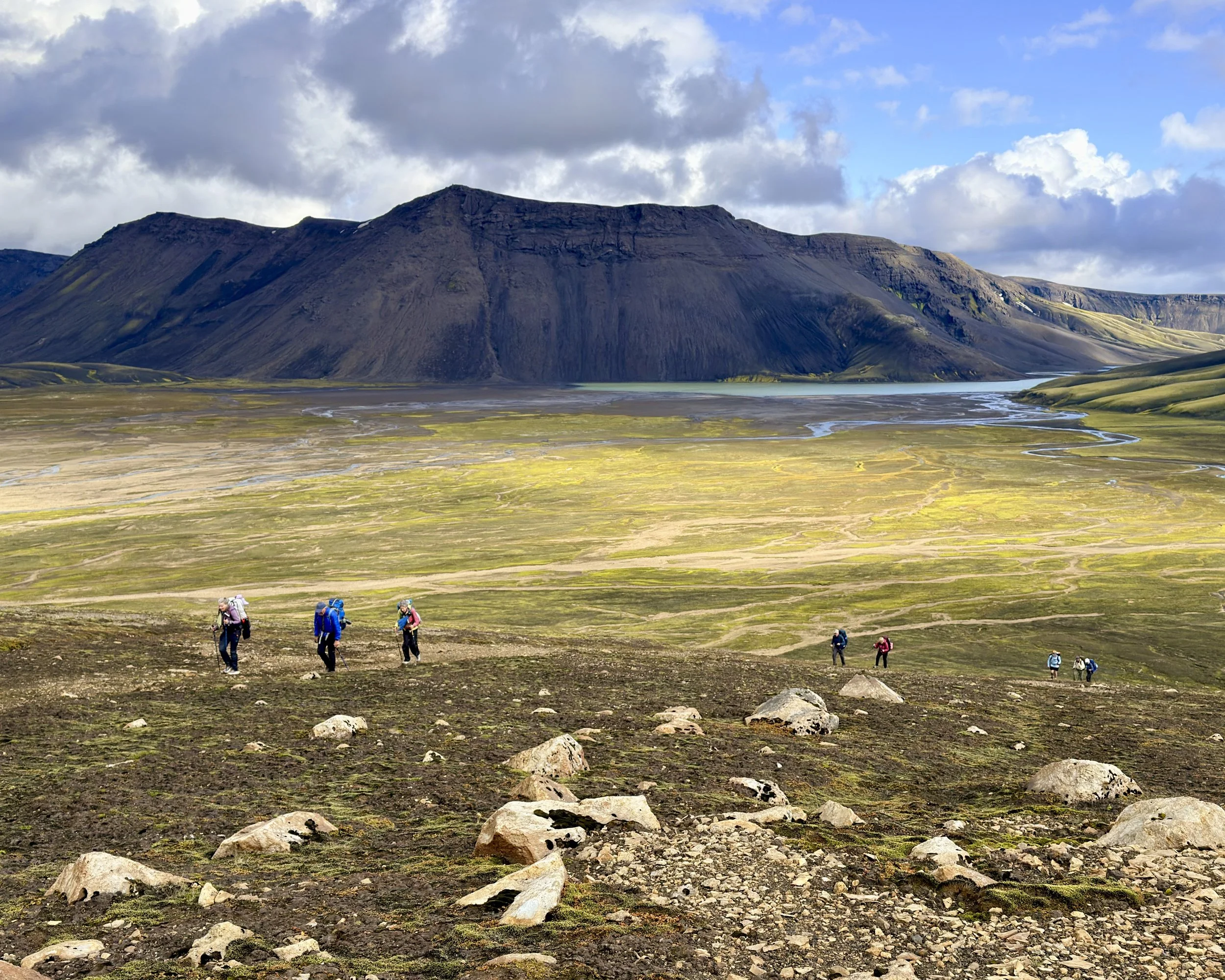
A short day, and a return to solitude. Barely seven kilometres — a crossing of the Syðri-Ófæra river and a walk into open country — to the small, remote hut at Álftavötn, the "Swan Lakes." The brief brush with the road and the people at Hólaskjól was behind us again; ahead, nothing but the empty highland and the next hut. After the long drama of the fissure, an easy day of walking in silence was its own kind of reward. Once at the hut plenty of time to explore the surrounding area.
Day 8 — Álftavötn to Strútur
the longest day
22 km · 767 m ascent
Weather: Started Sunny finished with rain
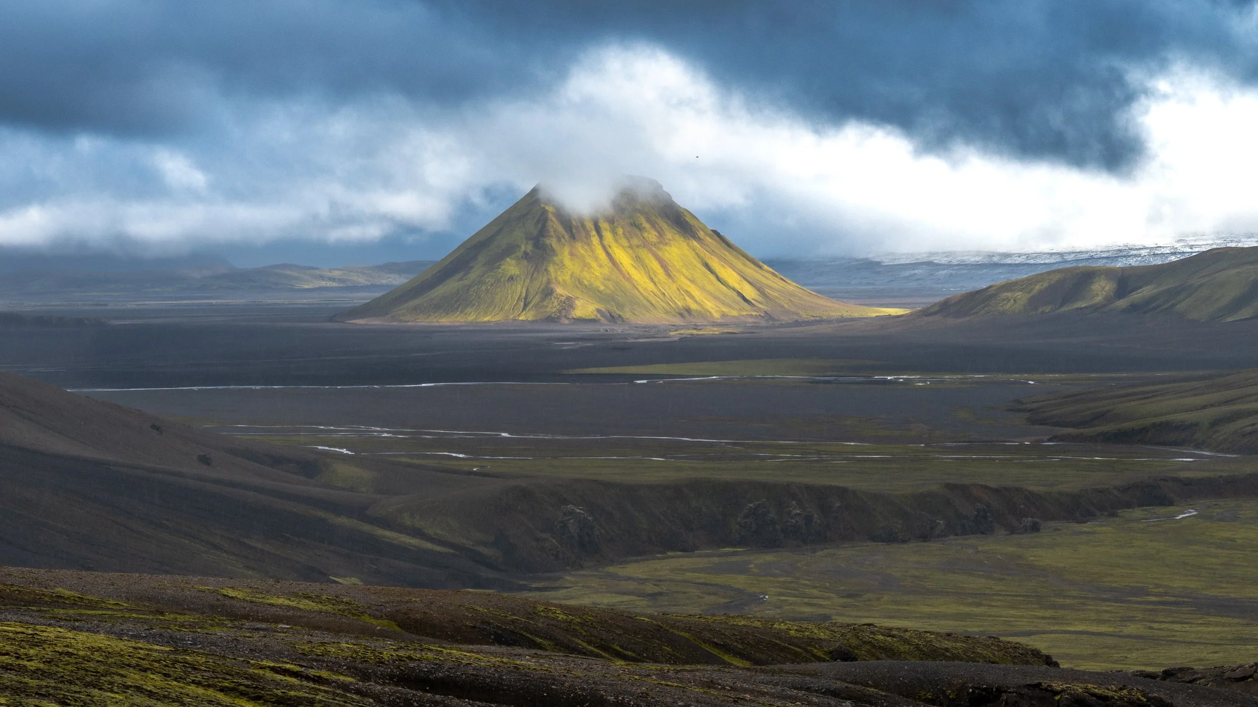
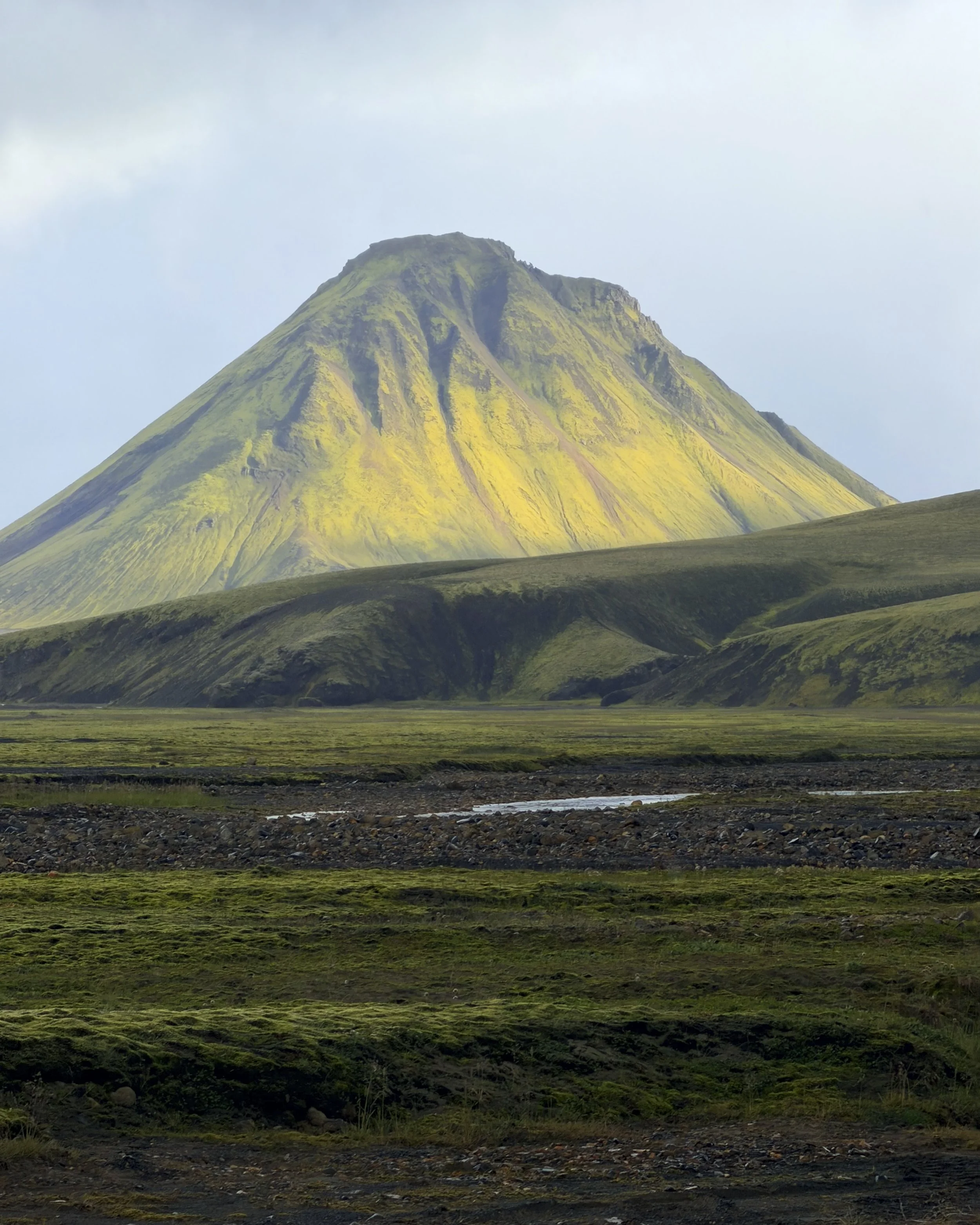
The longest day on the trail — twenty-two kilometres over a succession of valleys to the hut at Strútur, below its 968-metre mountain. The reward came into view along the way: Mælifell, a near-perfect cone of moss-green rising alone from a plain of black volcanic sand, with the white icecap of Mýrdalsjökull — the ice that sits over the Katla volcano — spread behind it. It is one of the most photographed remote mountains in the highlands, and the whole palette of this half of the trip in a single frame: green over black, ice beyond.
Near the end of the day and just before our ascent to view Mælifell is Strútslaug. A natural geothermal pool out in the open country — hot water rising from the ground in the middle of nowhere. We sat in it with the valley around us and the ache, then onto Strútur for the night.
Day 9 — Strútur to Álftavatn
return of the crowds
18 km · 391 m ascent
Weather: Sunny day.
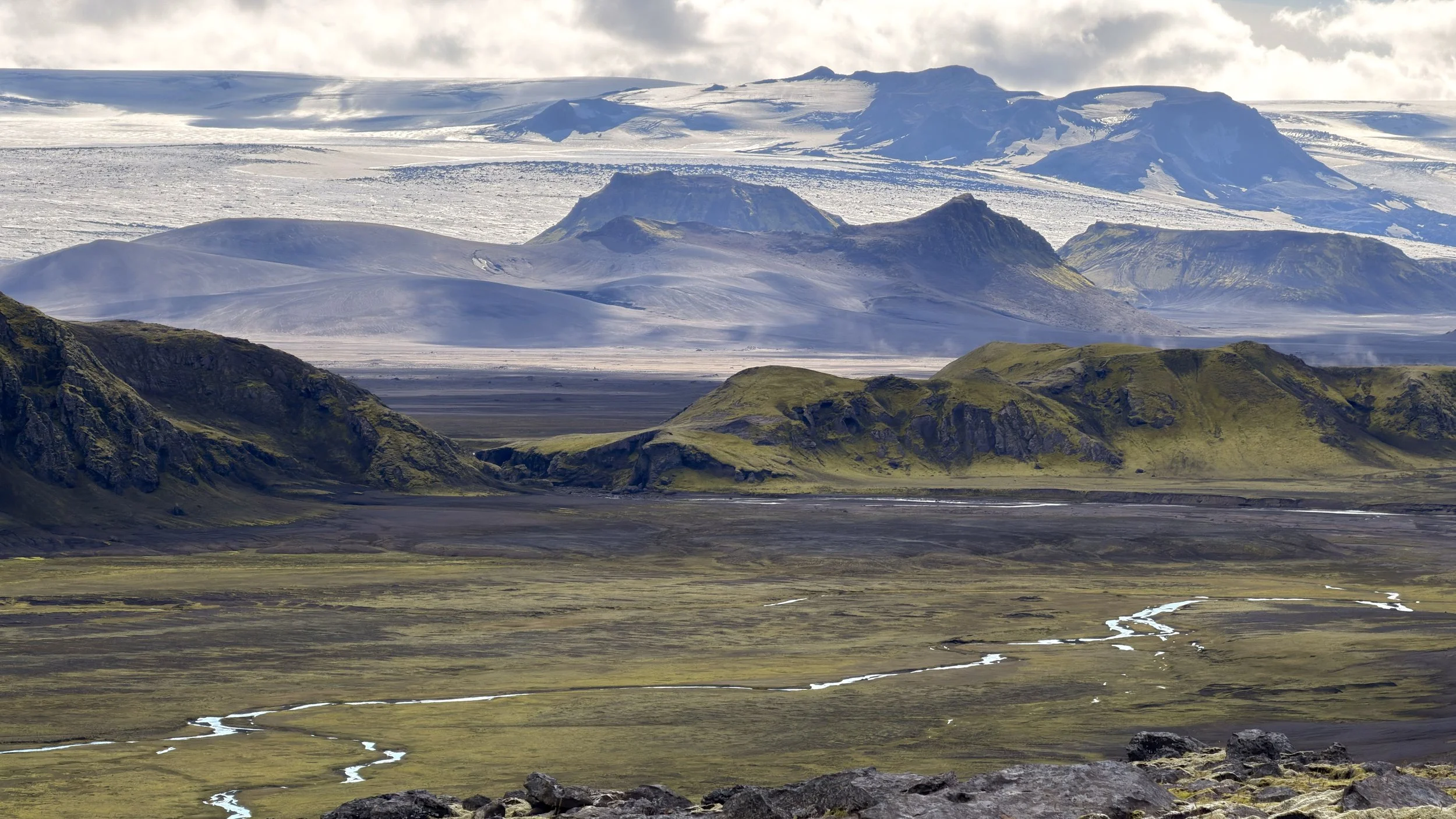
A long day across open ground, and for much of it we were off any marked trail. The icecap of Mýrdalsjökull, the ice that sits over Katla, hung to our left the whole way, a white weight low on the southern skyline. The route crossed a vast plain of black glacial sand, the kind of ground that hides quicksand where the meltwater runs beneath the surface, and we picked our line across it with care. Somewhere out on it we stopped and took our boots off, walking two kilometres barefoot over a stretch of moss — soft and deep and decades-slow to heal, a thing better felt through bare feet than crushed under them.
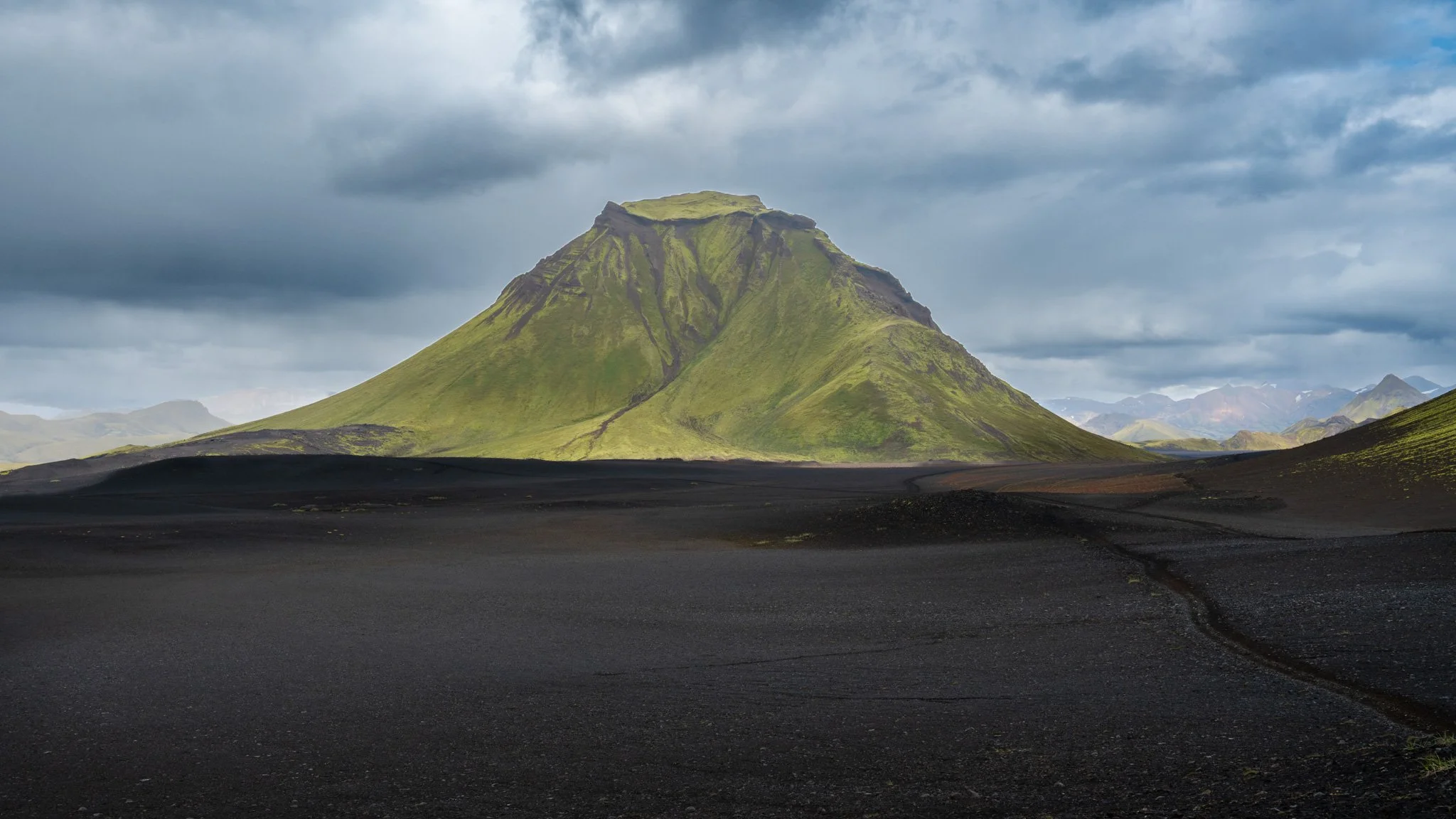
Late in the day we came over a range and dropped down to meet the Laugavegur, trail joining Iceland's most famous trek about a kilometre short of the hut. After a week with almost no one else in the country, the trail and its traffic returned all at once. Álftavatn sits beside its lake, ringed by mountains that rise straight from the shore — Brattháls at its back, the green cone of Stórasúla, and the jagged Torfatindar beyond. A busy hut on the main route, and the end of the long solitude.
Day 10 — Álftavatn to Botnar-Emstrur
across the black desert
17.4 km + 3 km canyon walk · 355 m ascent
Weather: Sunny start with rain at days end.
On the Laugavegur trail now, rather than the standard route, we found a route along the lakeshore, climbed to a low saddle in the hills with views of the black desert below and the Mýrdalsjökull on the other side of the valley. After crossing a rapid cold river on our decsent we joined the main trail once again.— out across a wide plain of black volcanic sand, the dark desert the Laugavegur is known for, with Mýrdalsjökull hanging on the skyline. At the enmd, Botnar-Emstrur: a small green oasis with a hut set in a gully in the middle of all that black.
In the evening, a side trip out from the hut — three kilometres there and back to the rim of Markarfljótsgljúfur, a gorge nearly two hundred metres deep cut by the glacial river. One last dramatic thing before the walk turned gentle. From the rise above the huts, two icecaps stood out on the southern skyline: Mýrdalsjökull, the great ice over Katla, and beside it its smaller western neighbour — Eyjafjallajökull, the volcano whose 2010 eruption shut down the skies of Europe and defeated the world's newsreaders so thoroughly they gave up on its name and simply called it E17. The two were a single ice cap within living memory, splitting into separate glaciers only in the last century. A night at Botnar, the end of the trail within reach.
Day 11 — Botnar-Emstrur to Þórsmörk
birch forest at the end of the trail
16.2 km · 494 m ascent
Weather: Sunny 10C to 15C
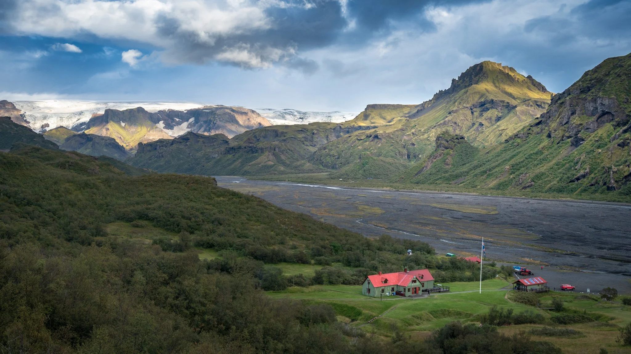
The last day on the Laugavegur trail. The trail dropped through a series of canyon crossings and a wade of the cold Þröngá before the ground began, at last, to change — and the Laugavegur saves its strangest contrast for the finish. One moment a plain of black volcanic sand; the next, suddenly, trees. We came down into the birch woods of Þórsmörk, the first real forest in days, the trees closing in after a fortnight of open ground.
After rhyolite, black lava, green valleys and open highland, the walk ended among the trees — back in the shelter of the living world. A last night at Langidalur, in the woods, the trail behind us and the North Sea air somewhere close. Tomorrow a drive out of the highlands
Day 12 — Þórsmörk to Reykjavik
back to the city
transit out - no hiking
Weather: Sunny 10C to 15C
The drive out and back to the city — out of Þórsmörk, fording the rivers one last time and onto the ring road for Reykjavík. Where the Þórsmörk road meets Route 1, the first of the crowds: Seljalandsfoss, the tall waterfall you can walk behind, its car park jammed and the path beneath it thick with people off the tour buses — fed, as it happens, by the meltwater of Eyjafjallajökull, the same ice we'd watched from Botnar. After twelve days of empty huts and country with no one in it, the sudden press of tourist Iceland took some adjusting to.
Twelve days closed, and with them a hundred and fifty kilometres on foot through a part of the country most people only ever glimpse from the edge. Colour, then black and green, then trees. The interior behind us, the ordinary world coming back up through the windscreen.