Wainwright’s
Coast to Coast
One of England's greatest long-distance walks, stretching 309 kilometres from the Irish Sea to the North Sea across the full width of northern England.
C2C in 12 Days
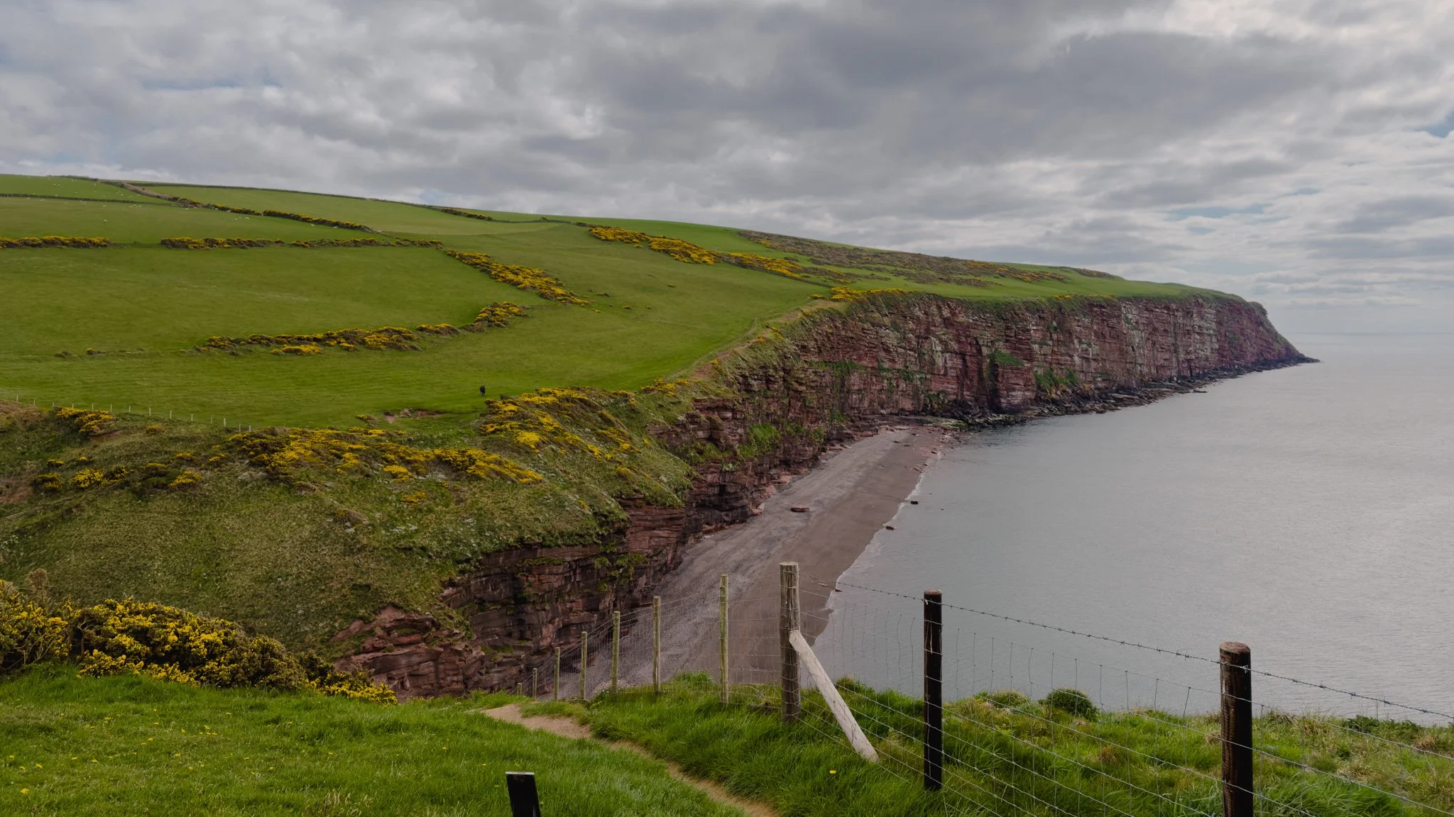
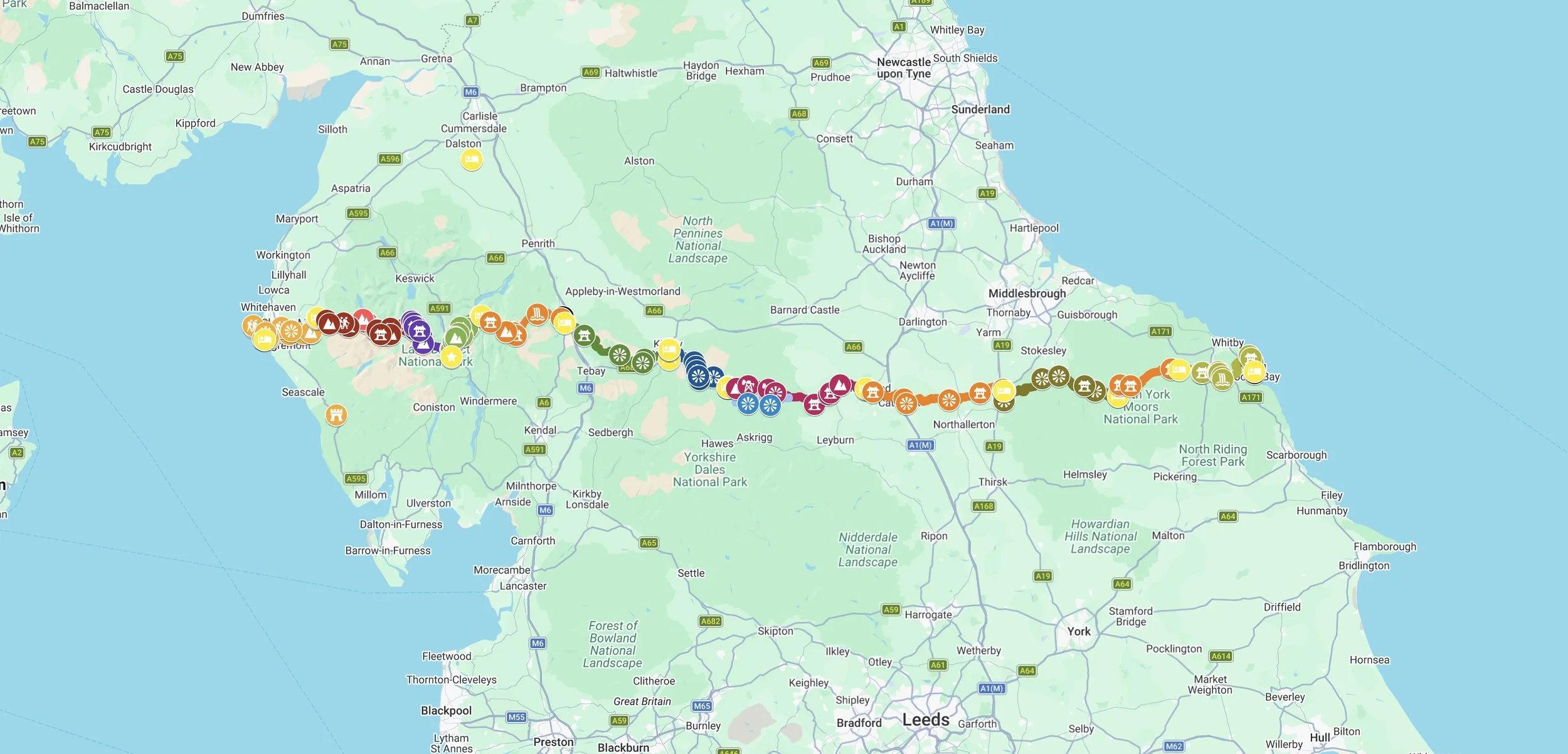
Wainwright's Coast to Coast is one of England's greatest long-distance walks, stretching 309 kilometres from the Irish Sea to the North Sea across the full width of northern England. Devised by the legendary fell-walker Alfred Wainwright in 1973 and officially designated a National Trail in March 2026, the route passes through three of England's most spectacular national parks — the Lake District, the Yorkshire Dales, and the North York Moors — crossing some 8,500 metres of total elevation along the way. In the spring of 2026 and over 12 days I walked from St Bees on the Cumbrian coast to Robin Hood's Bay in North Yorkshire, passing Norman castles, Viking dales, Roman roads, ancient stone cairns, and the resting place of Wainwright himself on Haystacks. The first night was at The Manor in St Bees, a small village built around a 12th-century priory at the edge of the Irish Sea.
Day 0 — London to St Bees
Cumbrian Coast Line
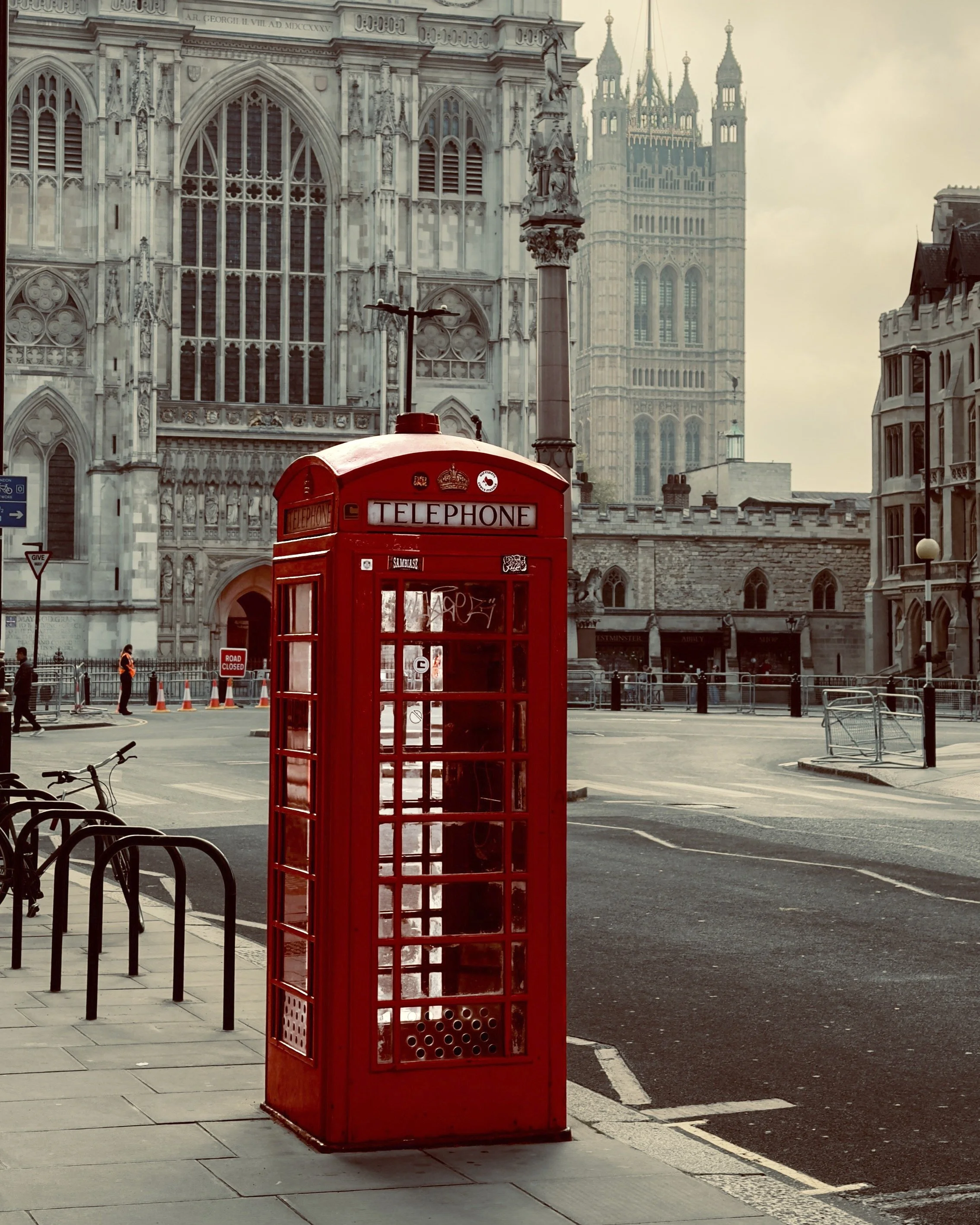
The train pulls out of London Euston and runs north for the best part of a day, climbing the length of England before the change onto the Cumbrian Coast Line — one of England's most beautiful and least-travelled railways — which turns and clings to the very edge of the Irish Sea. To the left the sea lies grey and endless, the Isle of Man a faint smudge on a clear day; to the right the dark folded fells of Lakeland, where tomorrow's walking waits. And then St Bees — a scatter of red sandstone houses around a 12th-century Norman priory, the westernmost point of the whole crossing. Tonight, the anticipation. Tomorrow the path climbs onto St Bees Head, turns its back on the sea, and 309 kilometres of England open up to the east. 🚂🌊


DAY 1 - St Bees to Ennerdale Bridge
24 km | 800 m elevation gain
April 29 - clear sky, daytime 15C
Leaving the Irish Sea
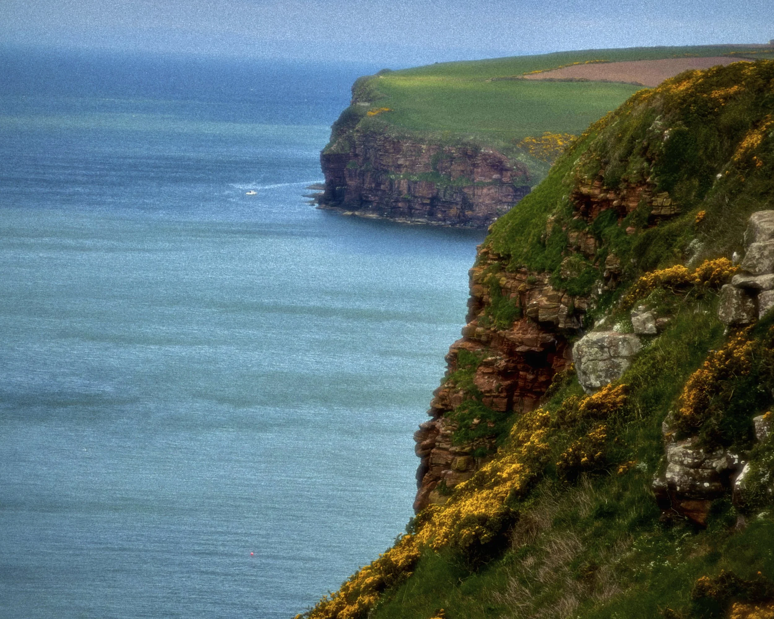
Day 1 of the Coast to Coast and England stretches out ahead — all 309 kms of it, from the Irish Sea to the North Sea. The walk begins at St Bees, a small Cumbrian village built around a 12th century Norman priory, before the path climbs sharply onto the clifftops of St Bees Head — the only significant headland on England's northwest coast and a nature reserve home to puffins and razorbills nesting in the dramatic red sandstone cliffs that drop vertically into the Irish Sea below. The geology here is ancient Triassic sandstone, laid down over 200 million years ago, and the colour is extraordinary — a deep burnt red against the grey of the sea and the green of the clifftop turf. Then the path turns east and doesn't look back.
Twenty-three kms through the villages of Sandwith and Cleator, crossing the transition from coastal farmland into the first folds of the Lake District National Park — a UNESCO World Heritage Site and one of England's most celebrated landscapes. The first real climb comes at Dent Hill, a steep pull to 352 metres above Cleator — a last look back to the Irish Sea and the Isle of Man behind, and the first glimpse of the high Lakeland fells waiting ahead. Tomorrow Ennerdale Water waits, the most remote and road-free of all the lakes. The first night is at the Fox & Hounds in Ennerdale Bridge, and just across the beck stands the little church of St Mary — mentioned in Wordsworth's poem "The Brothers," which he was moved to write after visiting the old chapel here in 1799 and hearing the priest speak of the graves in its churchyard. 23kms done and 600' elevation gain. 🥾


Day 2 — Ennerdale Bridge to Rosthwaite
25.1 km | 965 m elevation gain | via Black Sail Hut
April 30 - clear sky, daytime 20C
Entering the Lake District National Park
The Lake District reveals its wilder, more remote self. The morning follows the rocky southern shore of Ennerdale Water — the most westerly and least visited of all the lakes. Beyond its head the valley narrows and the forest closes in, the River Liza threading through the heart of Wild Ennerdale — one of England's most ambitious rewilding projects, where native oak, birch and juniper are slowly reclaiming ground from the old conifer plantations. Rather than climbing onto the high fells, I kept to the valley floor the whole way — the quieter and far more scenic choice, the river for company and the mountains rising steeply on either side as the track wound deeper into the dale toward its head. There, where the path runs out and the fells close in, Black Sail Hut appears — a former shepherd's bothy and England's most remote youth hostel, accessible only on foot, sitting beneath the brooding flanks of Haystacks and Great Gable. A stop for tea before the climb. From here the only way out is up — a steep haul beside Loft Beck onto the high ground, the volcanic heart of the Lake District stretching in every direction, before the path drops to Honister Pass and the long descent into the green shelter of Borrowdale. Twenty-five kilometres. Tonight at the Royal Oak in Rosthwaite. 🏔️🥾



Day 3 — Rosthwaite to Grasmere
15 km | 820 m elevation gain | via Stonewaite Valley
May 1 - clear sky, daytime 15C
First Full Day in the Lake District
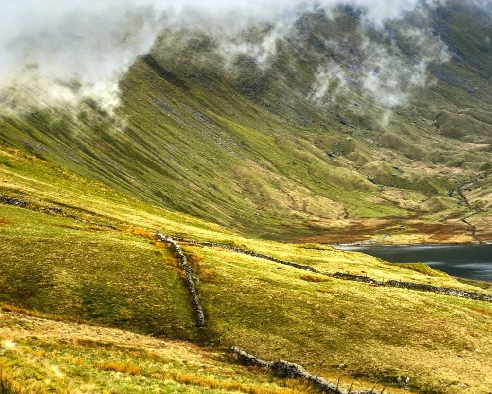
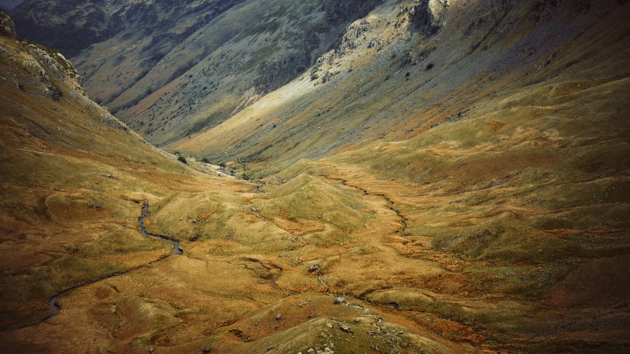
A short day by design — a chance to slow the pace after the long haul over Loft Beck. 15 km and 820 metres of climbing: short on distance, long on effort, because the Central Fells don't hand out easy miles. The morning begins gently, leaving Rosthwaite in the Borrowdale Valley and following Stonethwaite Beck south-east through the quiet Stonethwaite Valley, the towering rocky bluff of Eagle Crag dominating the skyline above. The beck narrows into Greenup Gill as the valley tightens and the real climb begins — a steep pull up the rocky escarpment of Lining Crag. The rock underfoot here is the bones of the Lake District: Borrowdale Volcanic stone, andesite lava and ash flung out by a chain of volcanoes some 450 million years ago, when this ground sat on the edge of a vanished ocean — later ground down into crag and hollow by Ice Age glaciers. Above the crag the ground flattens into the broad, boggy plateau of Greenup Edge at 613 metres, an ancient east–west watershed with High Raise — at 762 metres the highest and most central fell in all of Lakeland — rising above, and views stretching back over Borrowdale and Derwent Water on one side and Easedale unfolding ahead on the other. These fells have never been empty: grazed by hardy Herdwick sheep for centuries, wandered and written about by Wordsworth and the Lake Poets who made their home in Grasmere, and now crossed daily by walkers heading coast to coast. The descent runs down Far Easedale, wide open and green below, the stream tumbling through the glacial valley all the way into the village. Wordsworth called it the loveliest spot that man hath ever found. After Lining Crag and Greenup Edge, you won't argue. Tonight at the Inn at Grasmere. 🏔️☕




Day 4 — Grasmere to Patterdale
15 km | 830m elevation gain
May 2 - cloudy day, daytime 10C, drizzle up high
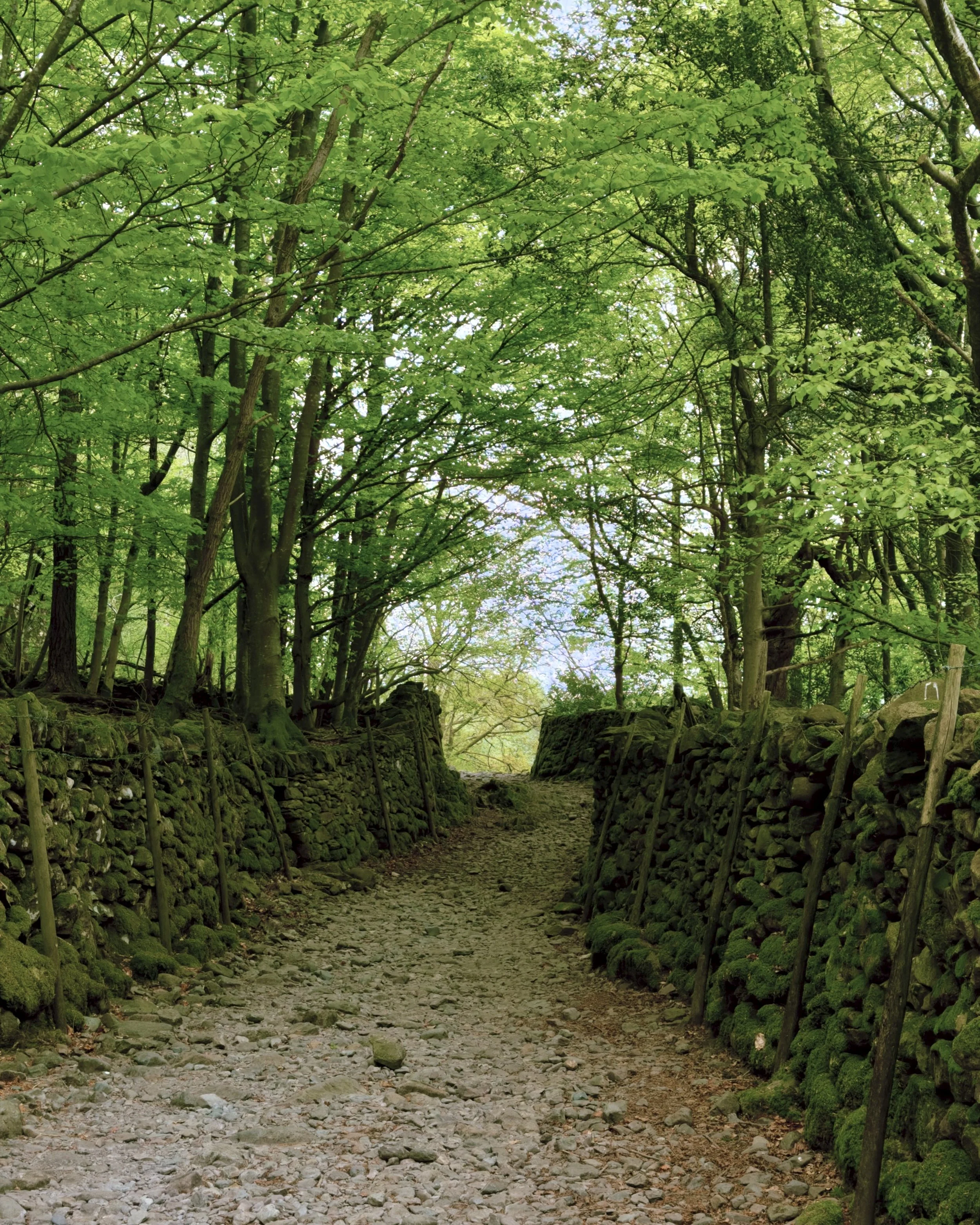
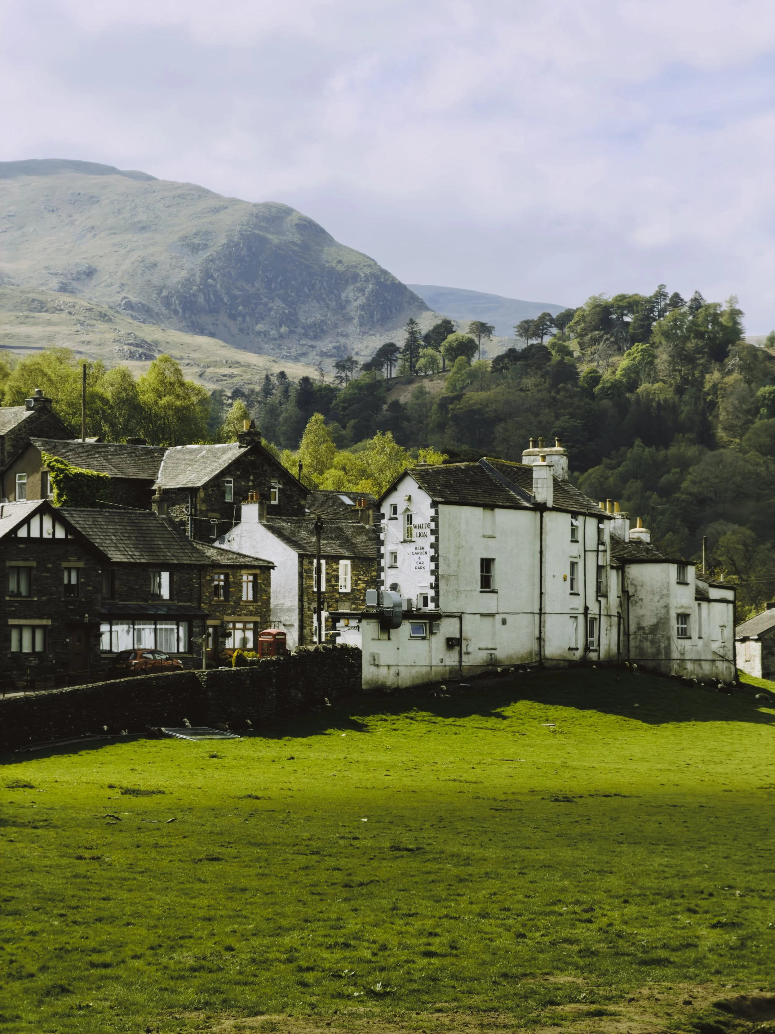
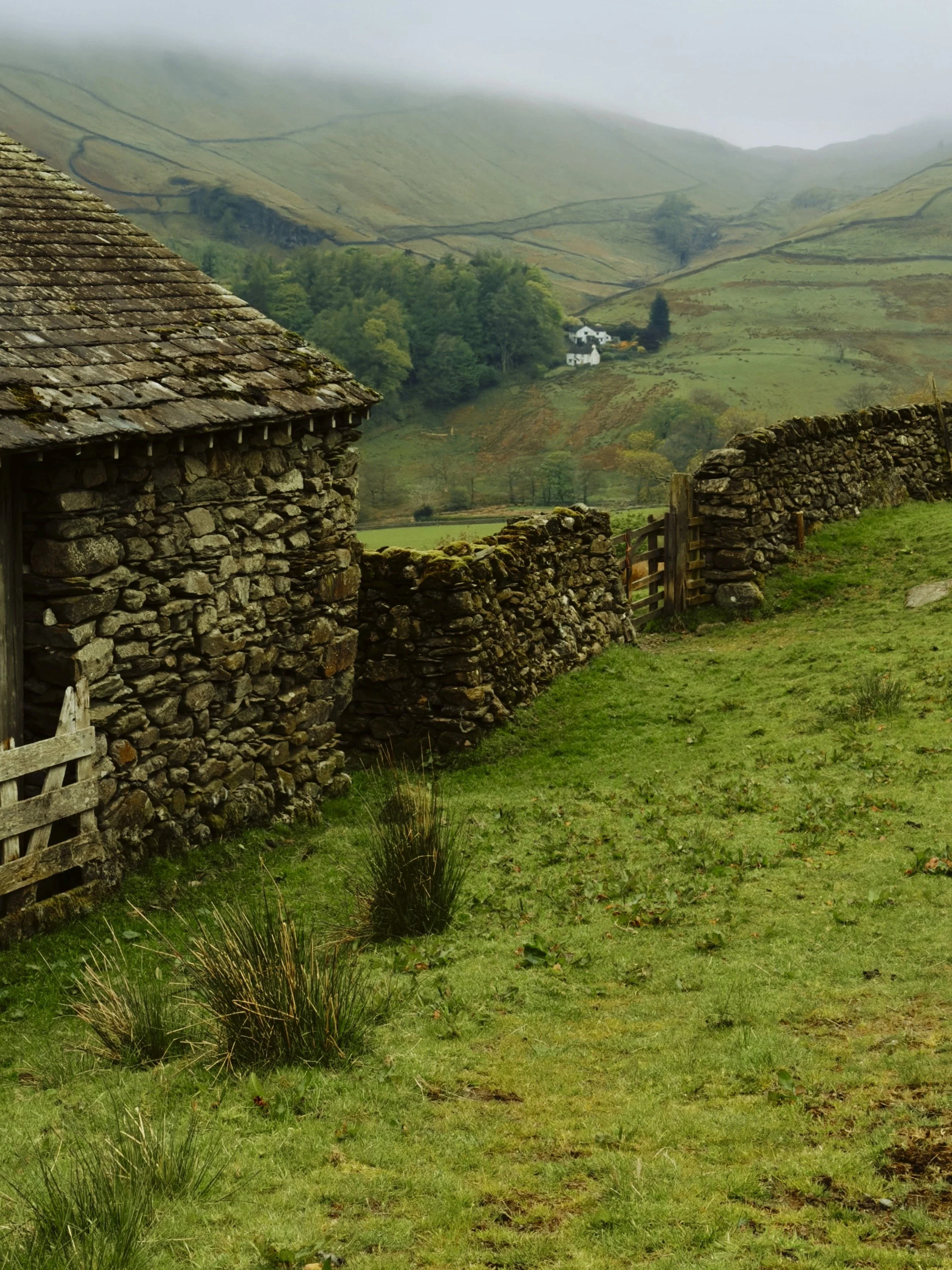
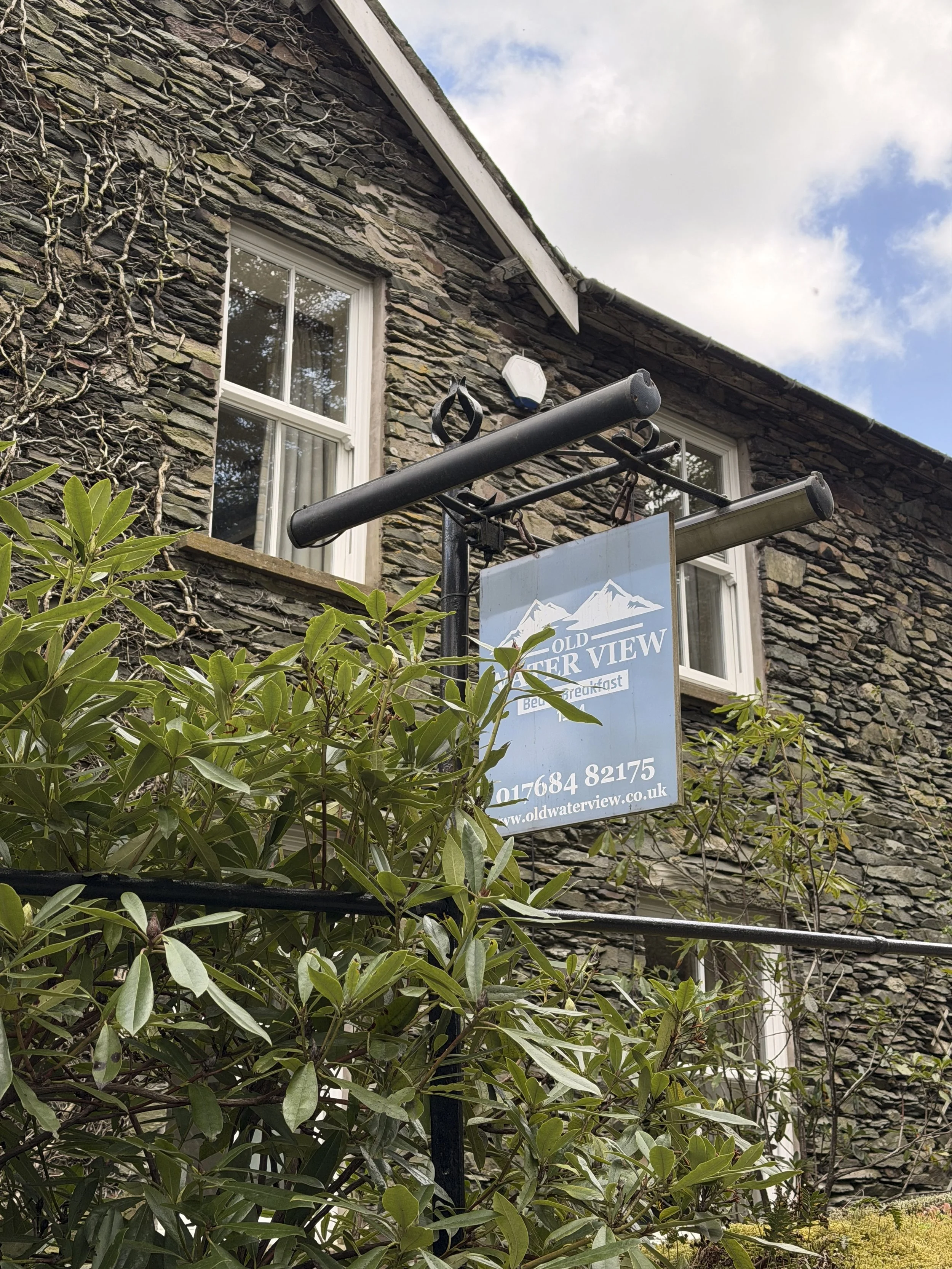
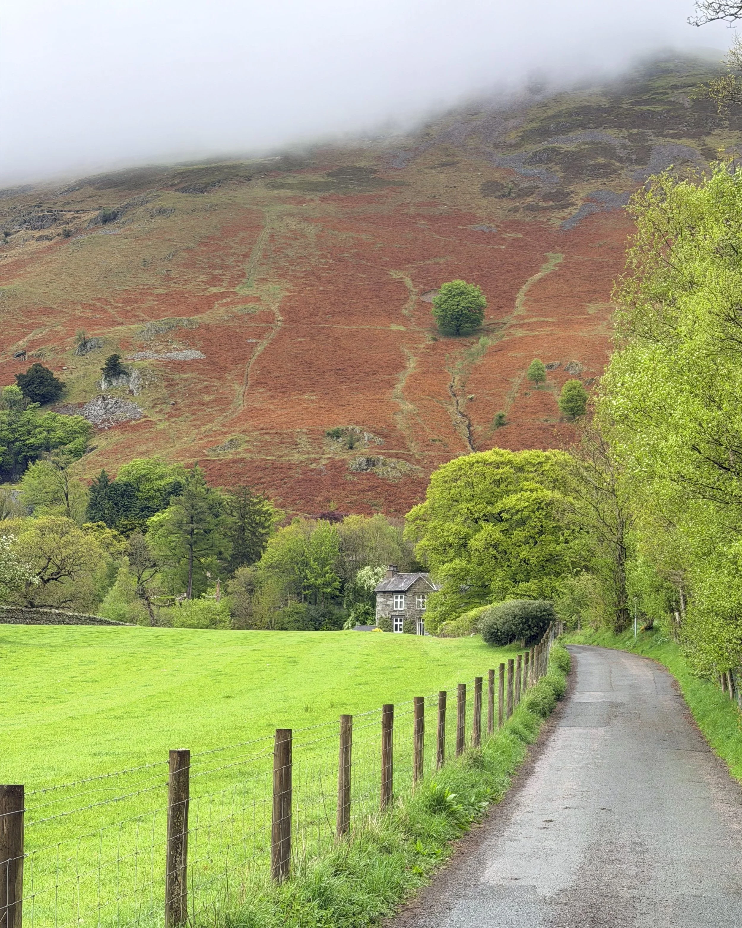
The route leaves Grasmere and climbs an old packhorse road up through Tongue Gill to Grisedale Hause — the high pass between the fells of Seat Sandal and Fairfield at 574 metres, a crossing walked for centuries by horses hauling goods between the valleys long before it was a walkers' trail. The cloud was down and the wind was up. No views, just the path disappearing into grey. The Lake District in a raw mood. Just below the pass lies Grisedale Tarn, dark and deep and wrapped in one of Cumbria's oldest legends: here, by tradition, the crown of Dunmail — the last king of Cumbria, killed in battle against the Saxon king Edmund around 945 AD — was cast into the water, to be reclaimed when his kingdom should rise again. The descent follows Grisedale Beck down through the glacial valley until the cloud breaks and the old farmhouse at Elmhow appears below — the first sign of life since Grasmere. From there through the ancient oak woodland of Glenamara Park and into Patterdale. Tonight at Old Water View — a guest house that first opened as the Ullswater View Boarding House in 1904, and where Wainwright himself stayed on a number of occasions while he was creating the Coast to Coast route. Sleeping where he slept, on the walk he invented. 🏔️🌫️



Day 5 — Patterdale to Shap
26 km | 1289 m elevation gain
May 3 - cloudy & windy day, daytime 10C, fog up high
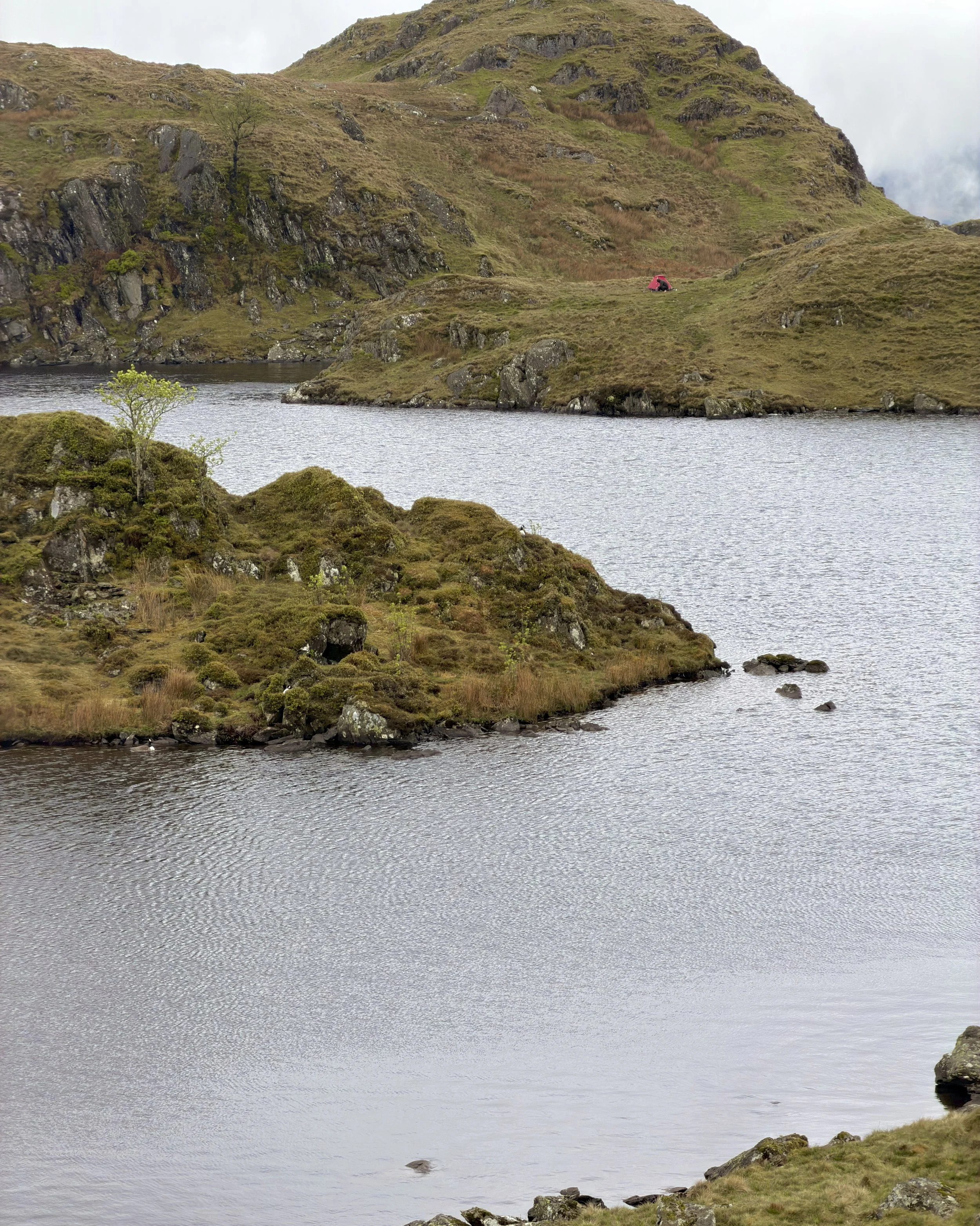
The last day in the Lake District, and it saves the highest point on the entire trail for the finale. The route leaves Patterdale and climbs immediately — up through Boredale Hause, past the wild island-dotted waters of Angle Tarn, and onto the broad, rising ground toward Kidsty Pike. Then the cloud came down and the wind rose with it, and the trouble began. Up on the open fell the path split and split again — trails leading off in every direction, none of them certain, the summit somewhere in the grey but nowhere to be seen. For the better part of two kilometres I wandered half-blind, casting about across the boggy ground with the wind shoving hard and the visibility down to a few metres, until the cairn finally loomed out of the murk — Kidsty Pike at 780 metres, the highest point on 309 kms of walking, earned the hard way. Below the peak the ground drops toward Haweswater, and here the route offers a choice: drop all the way down and follow the low path along the reservoir's western shore, or stay high on the fells above the lake and descend near its foot. The word passed along the trail is unanimous — stay high. The low path is long and wearing; the high road keeps the views. At the foot of the lake sits Burnbanks, a small settlement of houses first built in the 1930s for the men who dammed the valley to make the reservoir. Beyond it the volcanic fells give way at last to limestone, the ground turning pale and open underfoot as the path crosses out of the Lake District and heads for Shap. The Lake District is done. Tonight in Shap. 🏔️🌫️
The landscape speaks Old Norse. Every word underfoot — fell, dale, tarn, beck, gill, force, hause, rigg, pike, thwaite — was left here by Norse settlers who reached the Lake District around 925 AD, Norwegians who came not straight across the sea but the long way round, by way of Ireland and the Isle of Man. A fell is high open moorland. A dale is a valley. A tarn is a mountain lake. A beck is a stream. A gill is a narrow ravine. A force is a waterfall. A hause is a mountain pass. A rigg is a ridge. A pike is a pointed summit. A thwaite is a clearing hacked out of the woodland — the word buried in Rosthwaite and Stonethwaite, the Borrowdale villages you slept in and walked through on the way to Grasmere. Walk the Coast to Coast and you are reading a landscape written in a language eleven hundred years old.


Day 6 — Shap to Kirby Stephen
20.8 km | 694 m elevation gain
May 4 - cloudy calm day, daytime 15C
The ruins of Shap Abbey stand in the fields below — the last abbey founded in England, in 1199, and the last dissolved by Henry VIII in 1540, its solitary west tower still standing beside the River Lowther. The mountains of the Lake District are behind us now, and England changes completely underfoot. The Westmorland Plateau — ancient limestone seabed lifted and exposed over hundreds of millions of years — stretches ahead in every direction. Wide, pale, quietly extraordinary. The day passes through rolling moorland and scattered farmsteads, the Howgill Fells visible to the south and the dark line of the Pennines building ahead on the horizon. No drama. Just quiet, open, forgotten England. The Eden Valley appears in the afternoon — fertile and green between the fells — before the final descent into Kirkby Stephen, a proper market town that feels like civilisation after six days in the hills. Tonight at the Pennine Inn.🪨


Day 7 — Kirby Stephens to Keld
22 km | 480 m elevation gain
May 5 - cloudy morning, daytime 10-15C
The day begins by crossing Frank's Bridge out of Kirkby Stephen — an old packhorse bridge, once part of a corpse road that carried coffins from the hamlet of Hartley to the parish church. A fitting start to a day that heads straight up into the Pennines. The Pennines are the backbone of England — a long spine of carboniferous limestone and moorland running some 400 kilometres through the centre of the north, dividing east from west, the watershed between two seas. The climb onto Hartley Fell is steady and relentless, the ridge narrowing as the Nine Standards appear out of the fog — nine ancient drystone cairns standing high on the ridge, some nearly four metres tall, marked on maps from the 18th century and very likely far older. Nobody knows who built them, or why. Then the cloud lifted and the walking changed completely — open moorland in every direction, the Yorkshire Dales unfolding to the east. Underfoot, new flagstone paths cross what was once a genuine quagmire of deep Pennine bog, a quiet piece of trail engineering that makes the going fast and dry where walkers once sank to their knees. At the trig point on Nine Standards Rigg — 662 metres — every drop of water to the west runs to the Irish Sea, every drop to the east to the North Sea. You are standing on the spine of England.
Tonight at Butt House in Keld — an exceptional stay, and the warmest welcome of the walk. Jacqui and Chris keep the nearest B&B to the trail in the tiny village of Keld, a licensed guest house looking straight out over Swaledale, and everything about the evening was gracious: and welcoming.and one of Chris's home-cooked dinners shared around a single table with walkers from everywhere. The kind of place you're sorry to leave in the morning.🪨🌫️


Day 8 — Keld to Richmond
36 km | 350 m elevation gain
May 6 - Sunny day, 15-20 C,
Walking the Valley Bottom
The longest day so far. The low route out of Keld drops immediately to the River Swale and follows it east through Swaledale: a wide, open valley floor, limestone crags above, ancient stone field barns scattered across the hillsides, drystone walls climbing the fells as far as the eye can see. Many consider this England's finest dale — quieter and wilder than the more famous valleys to the south, unhurried and little changed for centuries. But the hills above the river were once anything but quiet. Swaledale was one of the most productive lead-mining regions in England for over 400 years, from the medieval period to the late 19th century, and the ruined smelt mills and mine workings still scar the upper fellsides, slowly weathering back into the colour of the moor. The route passes through Muker and Gunnerside, two of the most traditional villages on the whole trail, before reaching Reeth — a broad green ringed by stone houses, once the market centre of the Yorkshire lead trade. Beyond Reeth the valley narrows and the path climbs through Marrick, past the ruins of a 12th-century Benedictine priory, then through Whitcliffe Wood and along Applegarth Scar before Richmond appears below, its Norman castle keep standing high on a cliff above the Swale. Tonight at the Kings Head in Richmond. ⛏️🏰


Day 9 — Richmond to Ingleby Cross
38 km | Flat
May 7 - cloudy day, daytime 15C
The longest day on the trail. The Vale of Mowbray stretches ahead: ancient, flat farmland laid down on the bed of a glacial lake that drained at the end of the last Ice Age. The fields run wide in every direction, bright yellow oilseed rape and green winter wheat in broad strips across the plain. No drama, no summits, nothing to aim for on the horizon but more sky. The one landmark that matters is the honesty café — a table of homemade food set out by a local farmer, money in the tin, nobody watching — one of those small, unexpected kindnesses you only find on foot. Then more fields, more farm tracks, more sky.
Near the end comes the one obstacle of the day: the A19, a fast dual carriageway with no bridge on the line of the route. The official diversion adds a five-kilometre round trip to the nearest footbridge, but there's no need for it, and no need to run — just wait. Stand at the verge, be patient, let the traffic clear, and cross each carriageway in its own good time to the central reservation and over. A few minutes of waiting saved the best part of an hour. And then, late in the afternoon, the Cleveland Hills appear — a long dark line of moorland rising slowly from the plain, the first real high ground since Richmond. The North York Moors begin tomorrow. Tonight at the Blue Bell Inn, Ingleby Cross. 🌿


Day 10 — Ingleby Cross to Blakey Ridge
34 km | 1000 m elevation gain
May 8 - sun and cloud, daytime 15C, drizzle by end of day
Up and Down all Day
The hardest day on the walk. The North York Moors announce themselves at once: a steep climb through Arncliffe Wood before the Cleveland Hills escarpment opens ahead like a saw blade on the horizon. What follows is the most relentless terrain since the Lake District. Six summits in sequence — Live Moor, Carlton Moor, Cringle Moor, Cold Moor, Hasty Bank, and finally Urra Moor — each a steep climb and an equally steep drop, the moorland falling away on both sides and the views enormous in the morning sun. Hasty Bank is the sharpest of them, the Wainstones rising from its western end in weathered pinnacles of rock before the path plunges down to Clay Bank. A pause at Lord Stones for water, then the last pull up to Urra Moor — at 454 metres the highest point on the North York Moors. Then everything changes. At Bloworth Crossing the route joins the old Rosedale Railway trackbed, a Victorian ironstone line first built in 1858 to haul ore from the remote mines of Rosedale across the moors to the blast furnaces of Teesside. It closed in 1929, and the moor has been quietly reclaiming it ever since. What remains is a long, flat, easy path across Farndale Moor under wide-open skies, the ghosts of Victorian industry scattered in the valley below. The rain came in the late afternoon. The Lion Inn loomed out of the grey. Tonight on Blakey Ridge. 🏔️🌧️


Day 11 — Blakey Ridge to Egton Bridge
18.5 km | 500 m elevation gain
May 9 - Rainy day, 10C
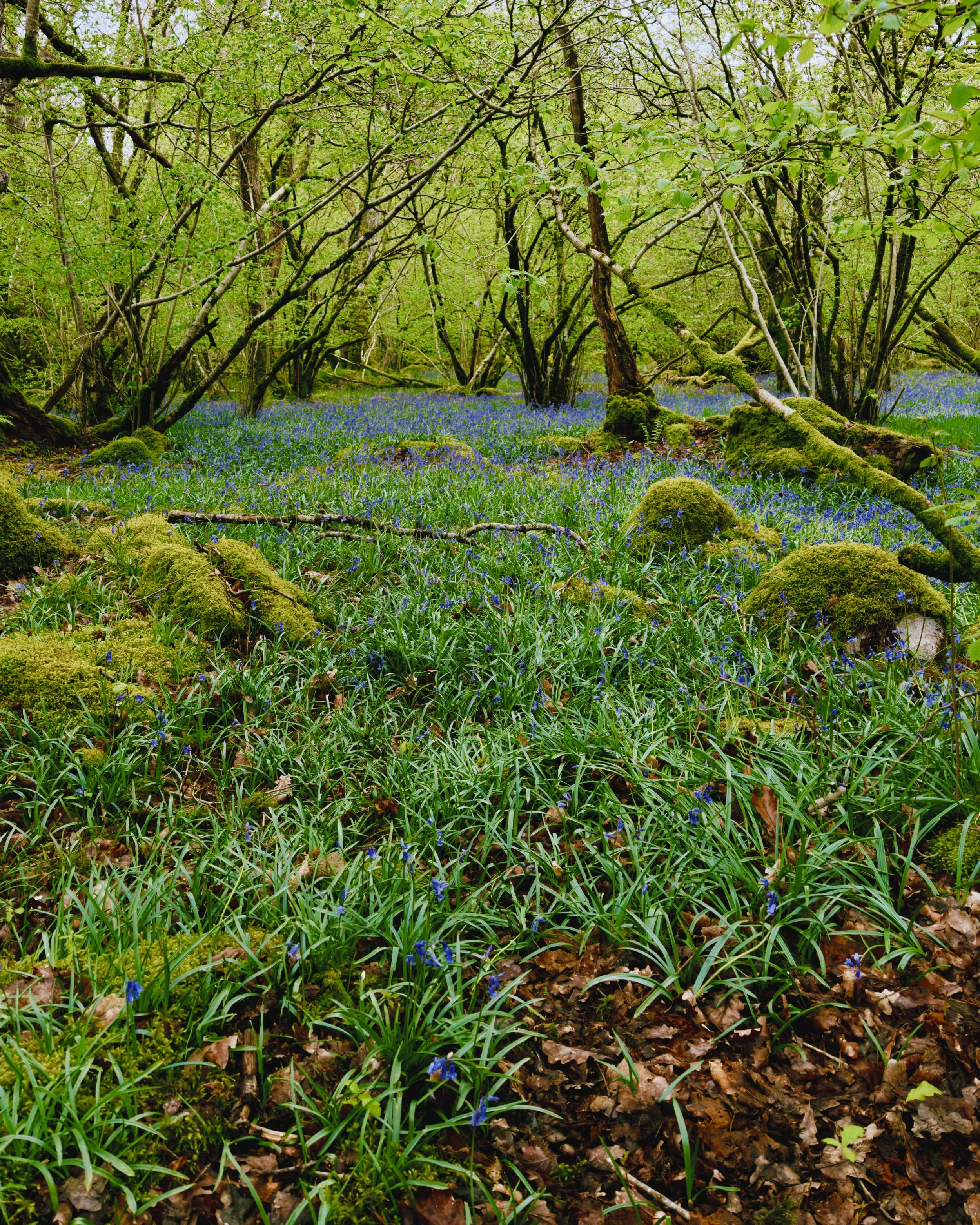
A recovery day. After the brutality of the Cleveland Hills the trail offers something rare: a short day, a gentle one, and the first real sense that the end is within reach. The route crosses Glaisdale Moor in light rain, heather and blanket bog stretching flat and quiet in every direction. Underfoot, scattered among the heather, grows the cowberry — a low evergreen shrub with small, bright red berries, part of the same Vaccinium family that runs from these moors all the way to the boreal forests of the Canadian Rockies. The same plant, the same berry, the same acid soil, thousands of kilometres apart — biology paying no attention to borders. On the open moor stands Fat Betty, a squat white-painted stone cross of uncertain age, where by tradition passing walkers leave a sweet and take one in return. The pockets of every Coast to Coast walker have passed through here. The path finally drops from the plateau into the deep wooded valley of the Esk, the trees closing in after days of open moorland, and the village of Egton Bridge appears below — stone houses along a river, a Catholic church known as the Cathedral of the Moors, and the Horseshoe Hotel waiting at the end of the lane. The North Sea is close now. Tonight at Egton Bridge. 🌿🌧️

Day 12 — Egton to Robinhood’s Bay - The North Sea
26 km | 400 m elevation gain
May 10 - mix sun and cloud, daytime 15C
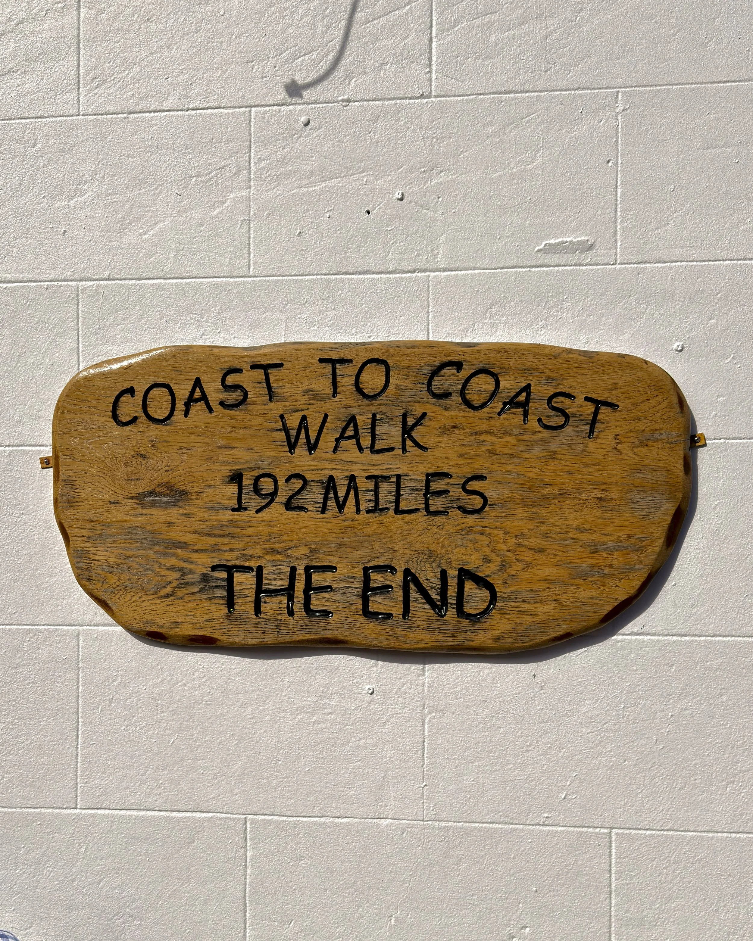
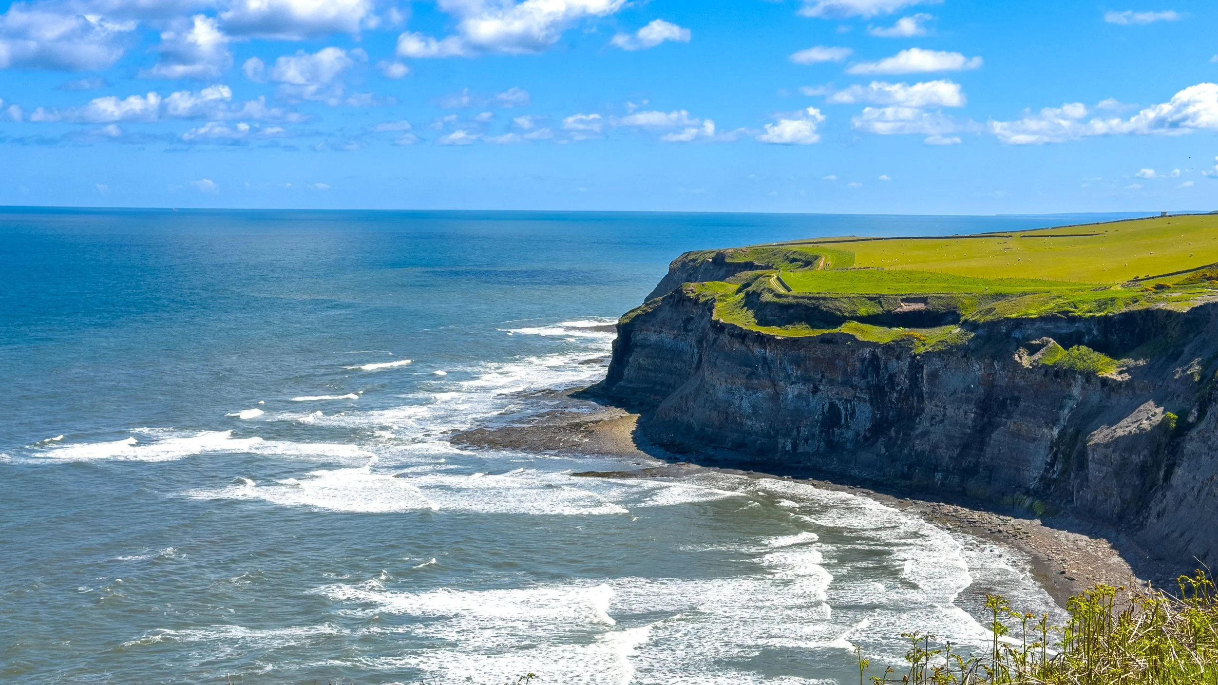
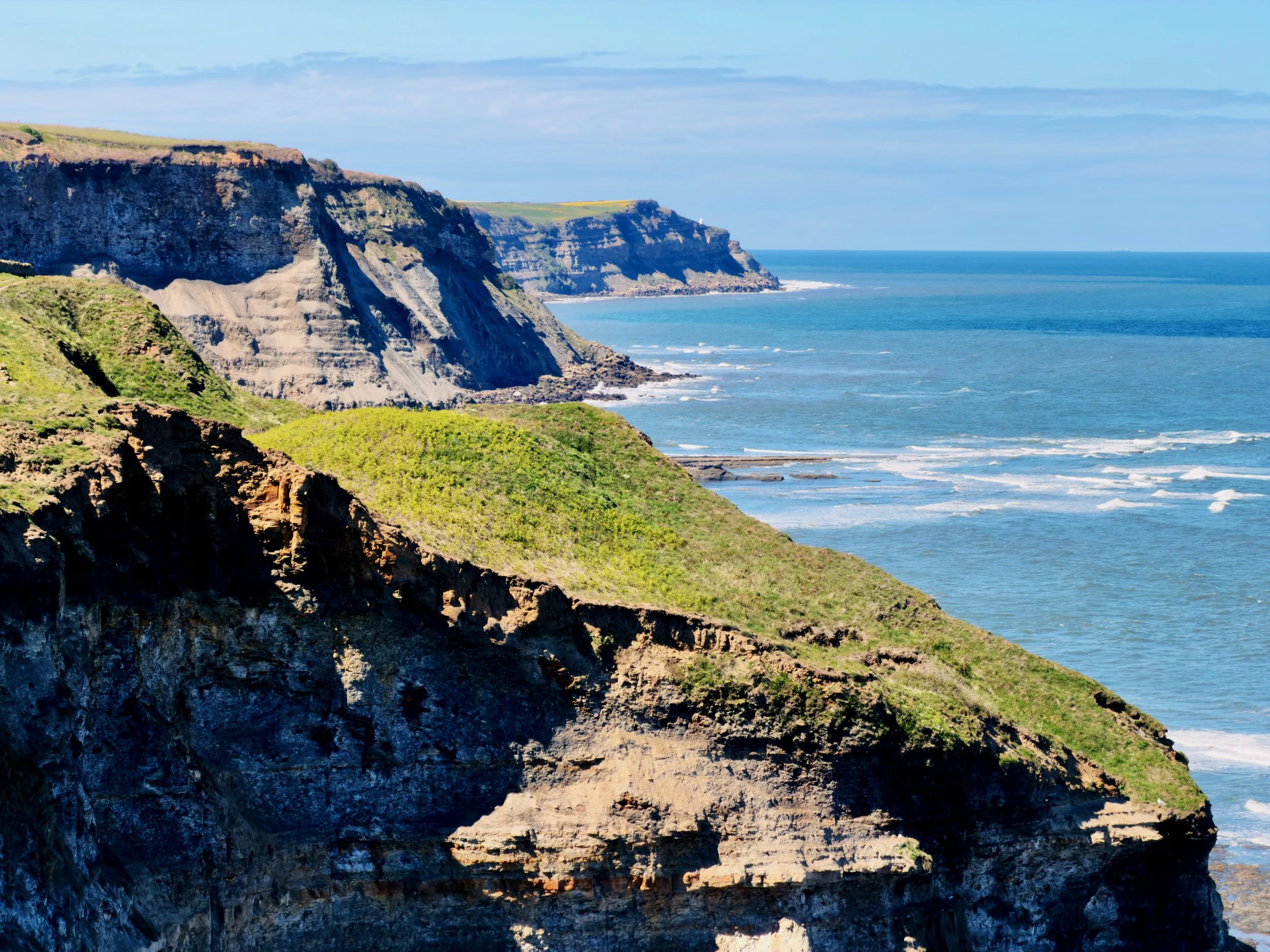
Day 12 of the Coast to Coast. 28 kilometres. The last day. The morning leaves Egton Bridge and follows an old toll road down the Esk to Grosmont, the village where the preserved steam engines of the North Yorkshire Moors Railway still run, all coal smoke and hiss beside the platform. Then the sting in the tail: a brutal climb straight out of Grosmont, one-in-three at its steepest, up onto Sleights Moor — and from the top, at last, the North Sea, with the ruined arches of Whitby Abbey off to the left. A final stretch of open moorland, then the path drops into the deep wooded gorge of Little Beck, the trees closing overhead, down to Falling Foss — a thirty-foot waterfall tumbling through the heart of the wood, the tea garden at Midge Hall tucked into the trees beside it. A last brew before the coast. One more moor leads on past High Hawsker, until the path joins the Cleveland Way along the cliff edge and the sea is beside you for good. The clifftop walking into Robin Hood's Bay is extraordinary — the village in sight long before you reach it, red pantile rooftops spilling down a narrow ravine to the water. The descent runs through steep cobbled alleyways to the slipway and the beach, where tradition says you throw in the pebble carried all the way from St Bees and dip your boots in the North Sea. From the Irish Sea to here. 309 kilometres. The walk is done. 🌊🥾